Day 2 Millmerran to Dirranbandi 20/09/2022
Up early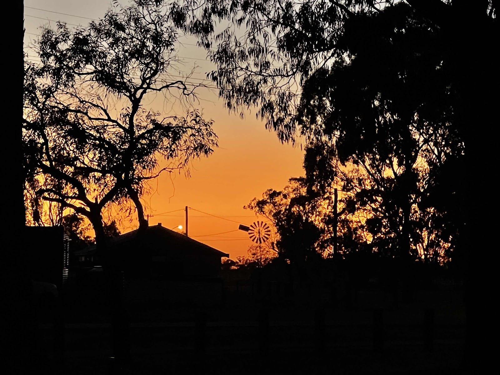

On the road by 7 am after a quick cup of coffee in the special mugs that Heidi gave us

Checked out the murals in the town first. I remembered these from the last time we were in Millmerran for the camp cook festival many years ago.


We didn’t see this one last time we were here

Travelled on the Gore Highway towards Goondiwindi enjoying the beautiful yellow flowering acacias either side of the road under a clear blue sky

Took the turn off along Wyaga Rd to the Cunningham Highway

Came across an impressive art trail of metal sculptures that we just had to check out. Spent quite some time there as there were a lot of interesting pieces


Each sculpture has it’s own explanation and significance


Eagles Nest

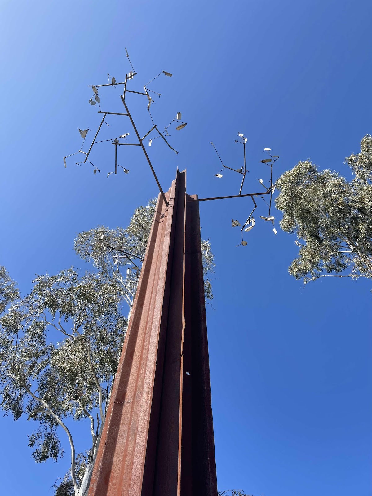
Mad Dog

The Hanging

Pulley Place

Ned Kelly

Prickly Situation
 Spiralling out of Control

Took us a while to work out the wording - very clever

Our next fabulous discovery in Goondiwindi was the Natural Heritage and Water Park.
Before heading off on the trails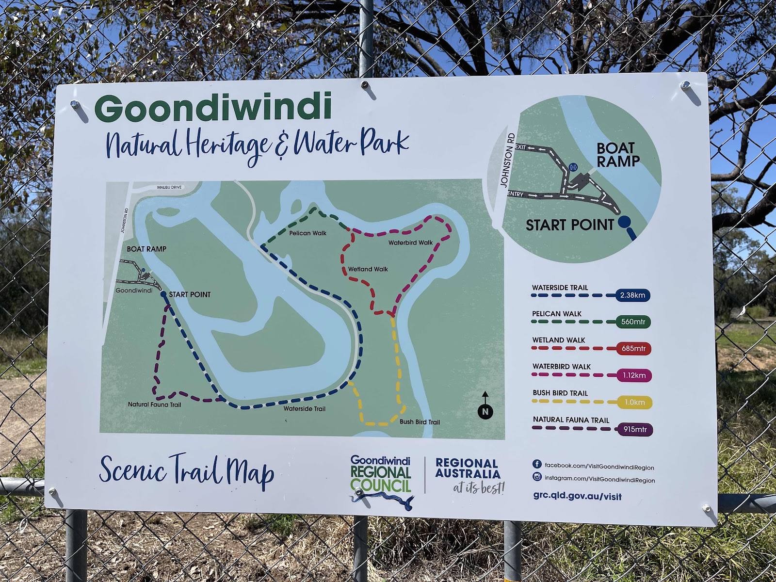
We started on the Natural Fauna trail first where we came across lots of kites flying above us

Some Pretty flowers

and Roos bounding around

We then carried on along part of the waterside trail


Moving on we drove through the centre of Goondiwindi to check it out

More sculptures by the Macintyre river to check out


On the road again, heading for Hebel. Firstly on the Barwon Highway via Talwood
Turning off the highway to go on the Talwood Mungindi rd
Lots of cotton beside the road so obviously a cotton growing area nearby.
What we hadn’t realised was that the road was unsurfaced, nevertheless a pretty good road
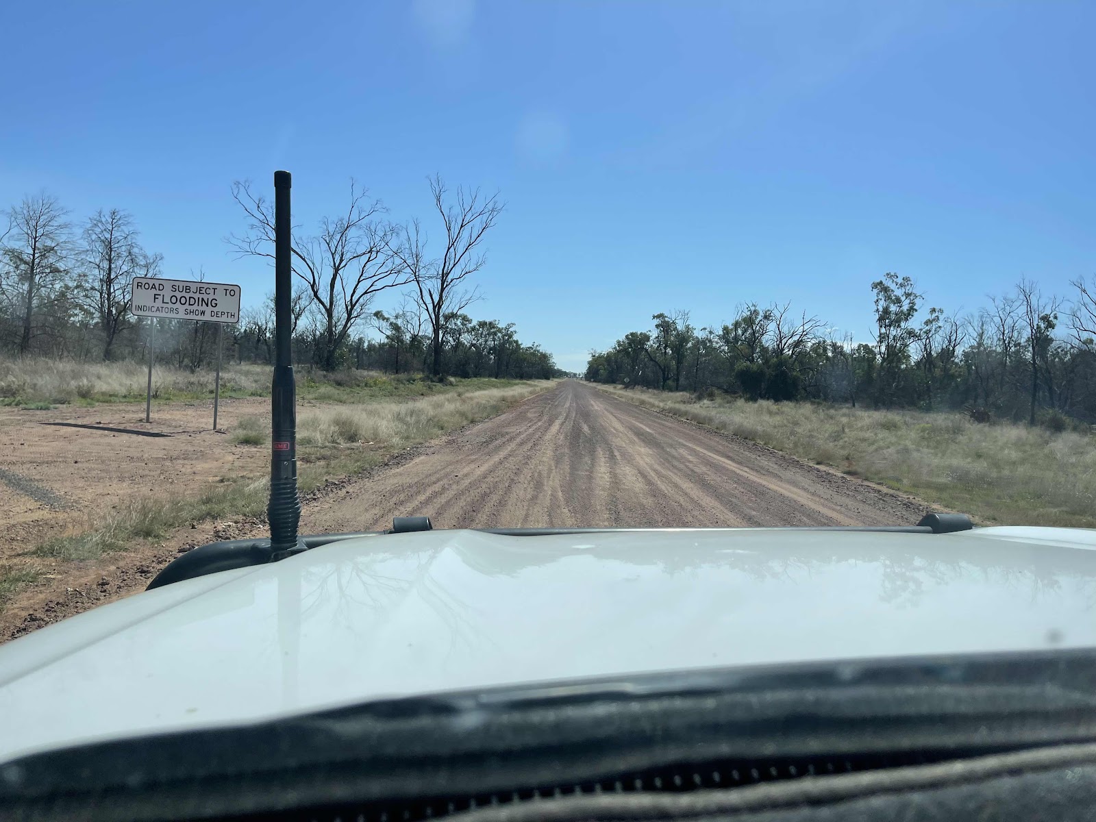
Not much on the road except this B-Double kicking up a bit of dust

and the occasional stray cows

This was the only other vehicle that passed on this road

Soon onto surfaced road again at Daymar, heading to Thallon

We joined the Carnarvon Highway at Thallon. We weren’t going to stop in Thallon as we had explored the town on a previous trip but came across these amazing metal sculptures beside the road that we just had to stop and look at

So clever and such amazing detail


The end of the line…


Leaving Thallon we turned onto the Noondoo Thallon Rd
We drove down there to check it out

Found another couple there that had been there the previous night having had their travel plans disrupted. They had been watching the river level and had observed it going down
We decided to drive back into town before setting up camp, for a drink at the pub and a bite to eat. Had a drink at the local pub, but decided not to wait till 6pm for a meal but went across the road to the amazing bakery run by a Russian family
As well as buying some delicious home baked pies that we ate there, we also bought one of these delicious pretty looking Pryanick honey breads

which we broke into when we got back to the campsite and after setting up.

On the way back to the campsite we passed this turn off that would have taken us to Hebel

This is the sign on the road to the campsite where the road to Bollon is also closed but open as far as the campground

As usual we tracked our route for the day on Hema maps as shown here

Beautiful sunrise
On the road by 7 am after a quick cup of coffee in the special mugs that Heidi gave us
Checked out the murals in the town first. I remembered these from the last time we were in Millmerran for the camp cook festival many years ago.
We didn’t see this one last time we were here
Travelled on the Gore Highway towards Goondiwindi enjoying the beautiful yellow flowering acacias either side of the road under a clear blue sky
Took the turn off along Wyaga Rd to the Cunningham Highway
Came across an impressive art trail of metal sculptures that we just had to check out. Spent quite some time there as there were a lot of interesting pieces
Each sculpture has it’s own explanation and significance
Eagles Nest
Mad Dog
The Hanging
Pulley Place
Ned Kelly
Prickly Situation
Took us a while to work out the wording - very clever
Our next fabulous discovery in Goondiwindi was the Natural Heritage and Water Park.
We ate our breakfast here
Before heading off on the trails
We started on the Natural Fauna trail first where we came across lots of kites flying above us
Some Pretty flowers
and Roos bounding around
We then carried on along part of the waterside trail
Moving on we drove through the centre of Goondiwindi to check it out
More sculptures by the Macintyre river to check out
On the road again, heading for Hebel. Firstly on the Barwon Highway via Talwood
Turning off the highway to go on the Talwood Mungindi rd
Lots of cotton beside the road so obviously a cotton growing area nearby.
Here we took the turn off to Daymar following the route planned earlier using google maps.
What we hadn’t realised was that the road was unsurfaced, nevertheless a pretty good road
Not much on the road except this B-Double kicking up a bit of dust
and the occasional stray cows
This was the only other vehicle that passed on this road
Soon onto surfaced road again at Daymar, heading to Thallon
We joined the Carnarvon Highway at Thallon. We weren’t going to stop in Thallon as we had explored the town on a previous trip but came across these amazing metal sculptures beside the road that we just had to stop and look at
So clever and such amazing detail
Found this behind one of the sculptures so looked it up

Found out that the sculptures have only been installed recently


Each sculpture helps tell the story of the towns history and are located in the respective spots their real life models may have worked
Found out that the sculptures have only been installed recently
Each sculpture helps tell the story of the towns history and are located in the respective spots their real life models may have worked
The end of the line…
Of course had to get a photo of the magnificent famous painted Silos, although we have viewed them before from the viewing platform
Leaving Thallon we turned onto the Noondoo Thallon Rd
Crossing the flooding Moonie River
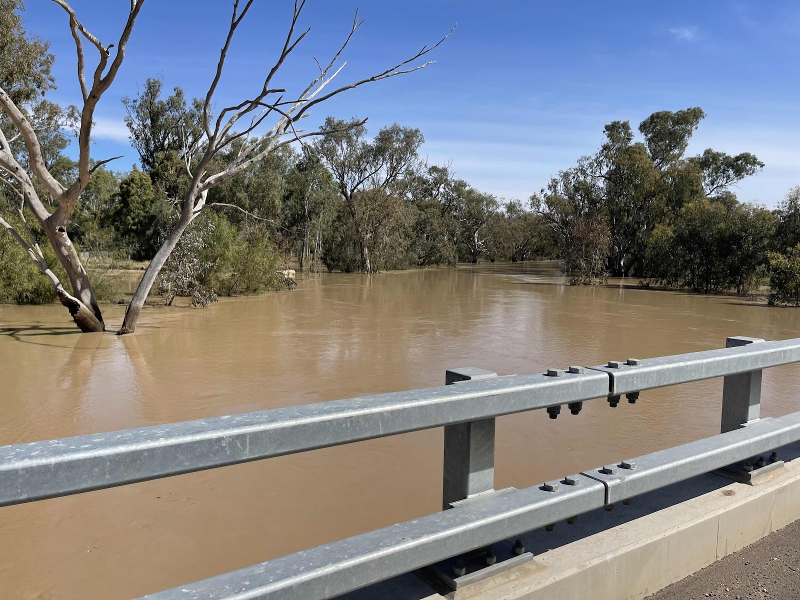

Lots of flooded areas beside the road


Turned onto the Castlereagh Highway to Dirranbandi


Stopped off at Noondoo to use the windy loo
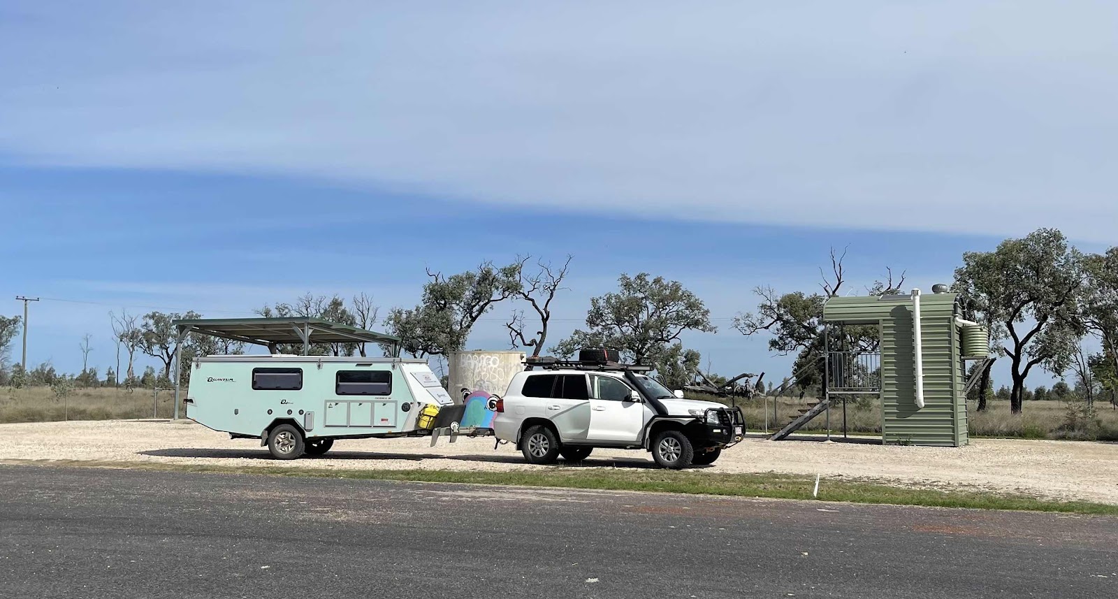
Found this information board with interesting facts about the area

Lots more water lying around beside the road


Then we came across this sign where we realised that we weren’t going to get any further!!!!

Arrived in Dirranbandi - the land of the croaking frogs

More metal sculptures in the local park

and a statue of the famous barefoot runner

Having realised that we were going to have to stay somewhere in Dirranbandi we checked on Wikicamps to see if there was anywhere that we could stay - found a spot down by the Balonne
Lots of flooded areas beside the road
Turned onto the Castlereagh Highway to Dirranbandi
Stopped off at Noondoo to use the windy loo
Found this information board with interesting facts about the area
Lots more water lying around beside the road
Then we came across this sign where we realised that we weren’t going to get any further!!!!
Arrived in Dirranbandi - the land of the croaking frogs
More metal sculptures in the local park
and a statue of the famous barefoot runner
Having realised that we were going to have to stay somewhere in Dirranbandi we checked on Wikicamps to see if there was anywhere that we could stay - found a spot down by the Balonne
We drove down there to check it out
Found another couple there that had been there the previous night having had their travel plans disrupted. They had been watching the river level and had observed it going down
Bill placed a stick at the waters edge so that he could observe the levels
We decided to drive back into town before setting up camp, for a drink at the pub and a bite to eat. Had a drink at the local pub, but decided not to wait till 6pm for a meal but went across the road to the amazing bakery run by a Russian family
As well as buying some delicious home baked pies that we ate there, we also bought one of these delicious pretty looking Pryanick honey breads
which we broke into when we got back to the campsite and after setting up.
On the way back to the campsite we passed this turn off that would have taken us to Hebel
This is the sign on the road to the campsite where the road to Bollon is also closed but open as far as the campground
As usual we tracked our route for the day on Hema maps as shown here
We also had tracking set on the SPOT so that others could log on and see where we were and where we went. Although tracking was on, unfortunately it didn’t seem to be recording the actual journey. Fortunately Harry had been following us and told us that he hadn’t seen us move from Millmerran although we were at Goondiwindi, so we reset the SPOT and it seemed to work after that

It looks like I won't be seeing you in Sydney. Back in Perth now. Had a wonderful Wildflower trip
ReplyDelete☹️we will have to do a separate trip to see you
Delete