Day 3 Dirranbandi to Narrabri
A bit of rain during the night but intensified as the morning wore on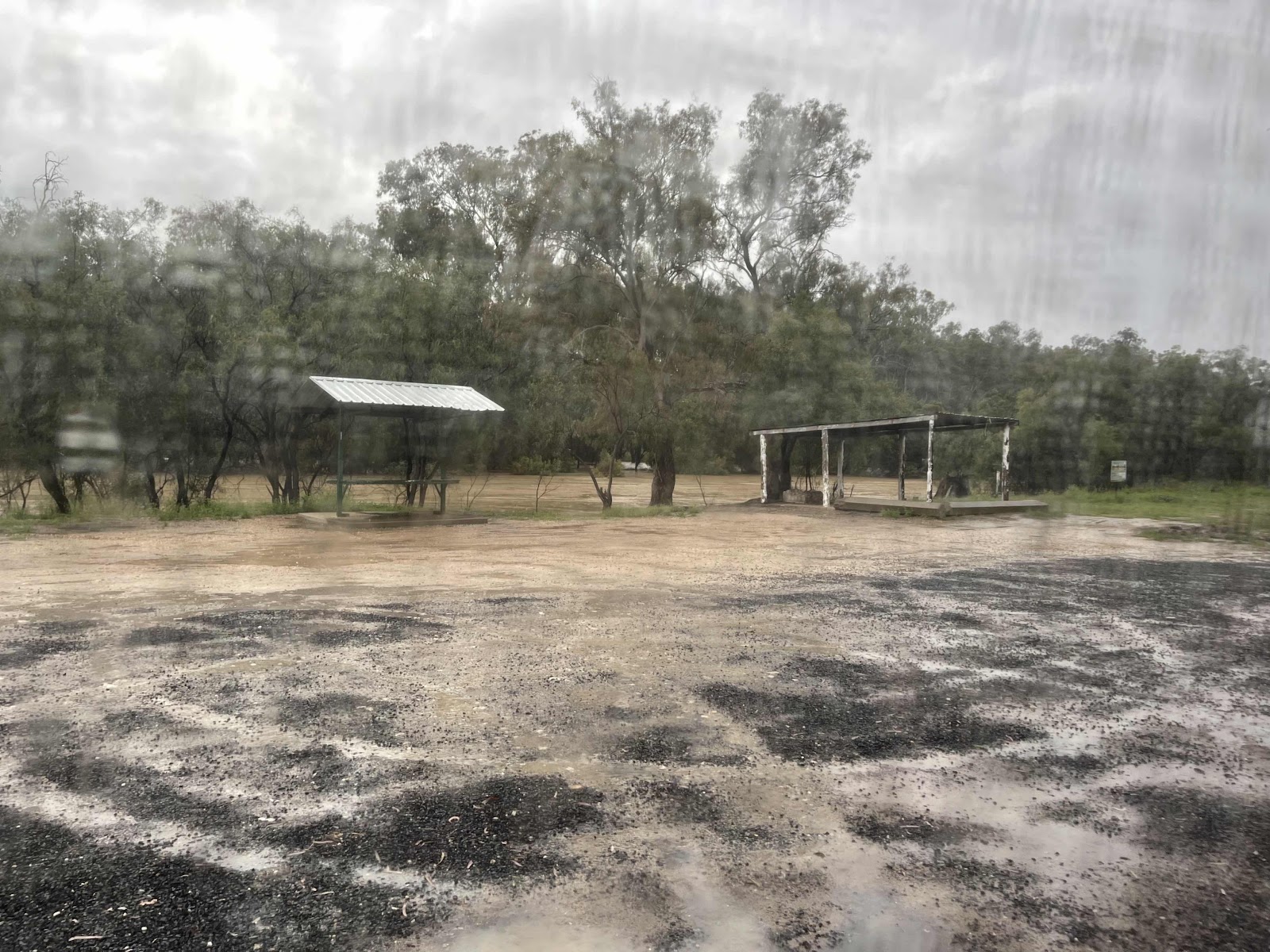
We had parked on the hard core to ensure that we didn’t get bogged.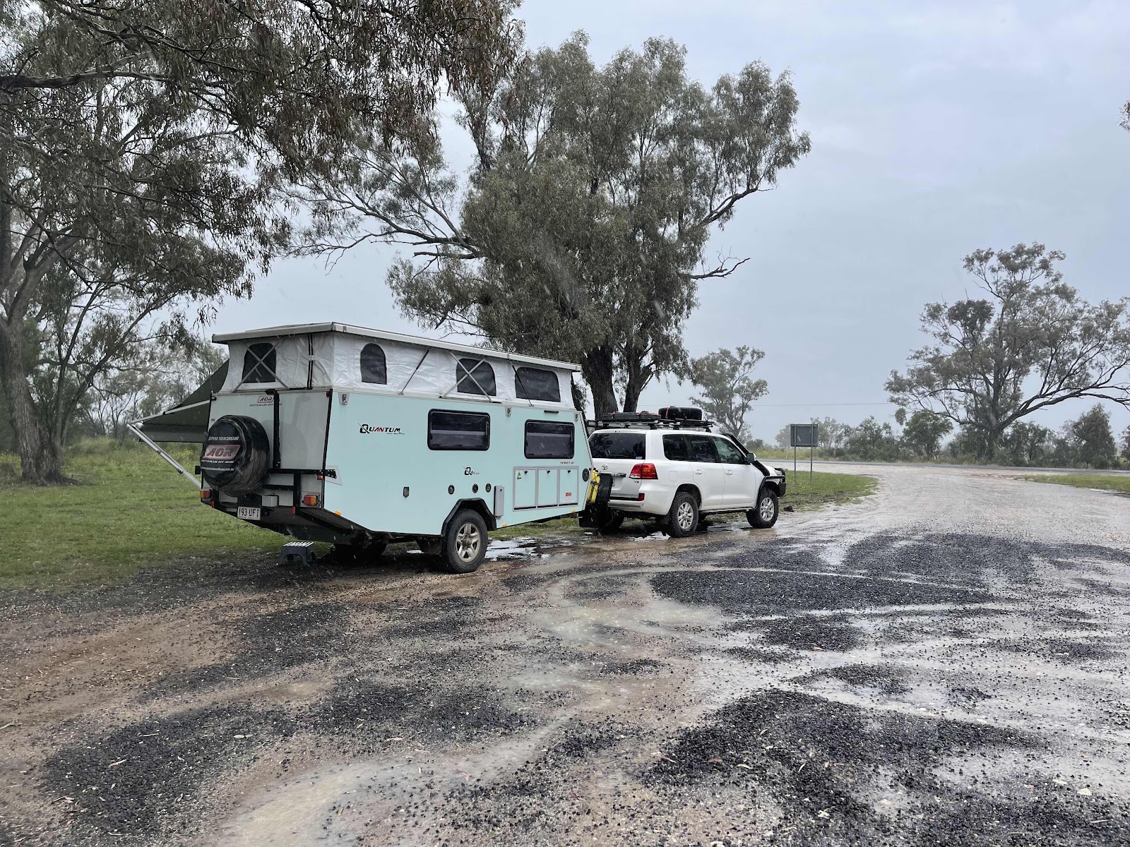
Checked the water levels of the river and it had gone down a bit, judging by the stick that Bill had put there

Had a check of the area down by the river and found this informative sign
We didn’t pack up and move on straight away.


When we turned back out on to the Bollon Dirranbandi road we just saw a truck drive around the road closed sign!!!
We drove back into Dirranbandi


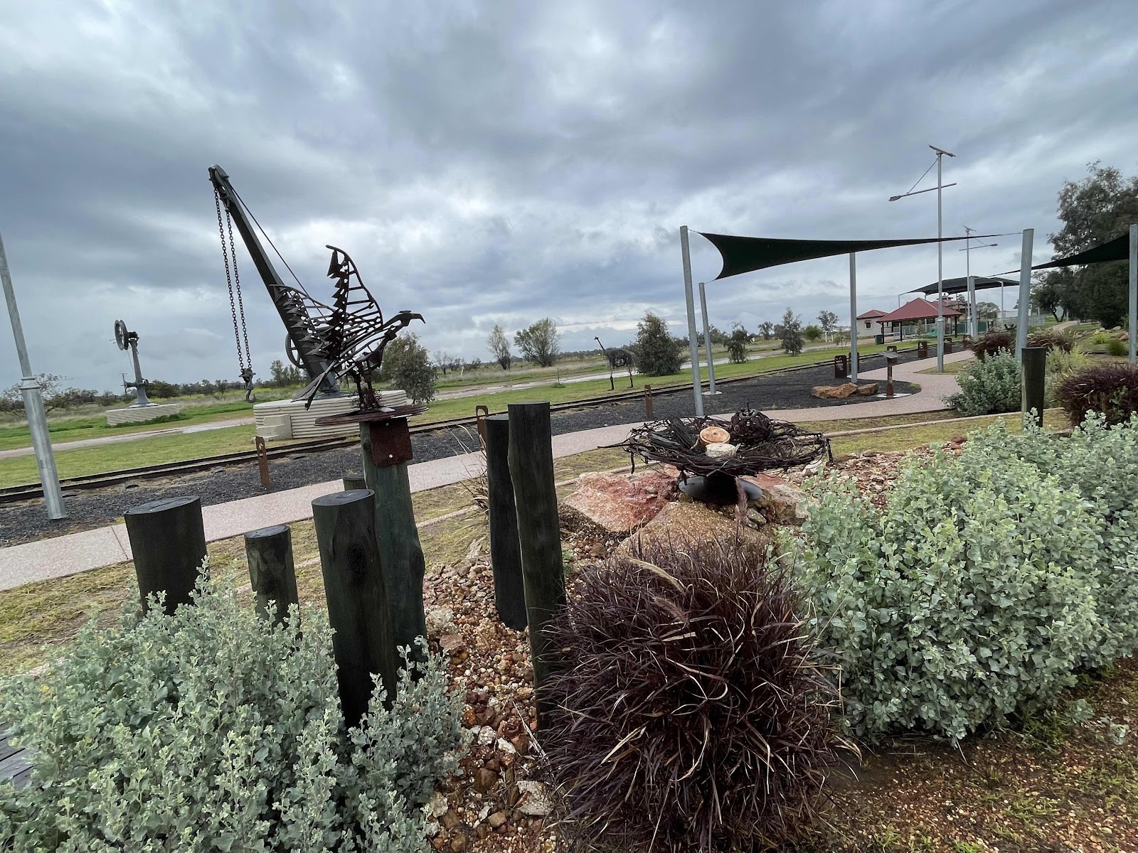
and checked out the park that has been created as part of the Rail and River Precinct

Lots of interesting art work, sculptures and information etc in the park
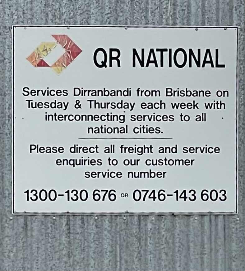


The old rail station


The end of the line

Could not leave the place without visiting the amazing bakery and buying lunch there


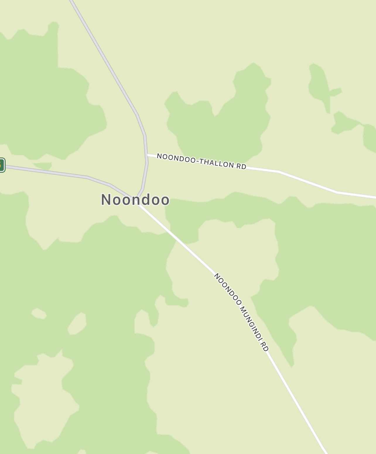
For our altered route we had planned to head south to Mungindi. To do this we had to retrace our route back to Thallon.
There was nowhere to turn and we did not want to risk getting stuck on the very boggy side of the road, so we carried on quite some distance. However, fortunately we came to a junction where we could turn

and head back towards Dirranbandi!!

Began raining quite heavily!!!!

But fortunately there was a good surface on the road

Back where we made our wrong turn!!!


We ended up walking the long way round.
Our view from the van window…
We had parked on the hard core to ensure that we didn’t get bogged.
Checked the water levels of the river and it had gone down a bit, judging by the stick that Bill had put there
Had a check of the area down by the river and found this informative sign
We didn’t pack up and move on straight away.
Took a while to study the maps, study the weather, road conditions etc to decide what we were going to do, seeing as it was obvious that we weren’t going to be able to continue on the route that we had planned.
So, at this point we have decided to completely reverse our overall planned route and travel the opposite direction, hopefully escaping the majority of the flooding
Before we left the area, seeing as we were on the road to Cubbie Station and I had often wondered where it was We drove a little way down that road as far as the Ginnery, got a good view of the swollen Ballone Minor river as we drove over it
When we turned back out on to the Bollon Dirranbandi road we just saw a truck drive around the road closed sign!!!
We drove back into Dirranbandi
and checked out the park that has been created as part of the Rail and River Precinct
Lots of interesting art work, sculptures and information etc in the park
The old rail station
The end of the line
Could not leave the place without visiting the amazing bakery and buying lunch there
For our altered route we had planned to head south to Mungindi. To do this we had to retrace our route back to Thallon.
Unfortunately at the time that we came to a junction where it had a sign pointing to Mungindi and I was trying to work out which way we came we didn’t have signal to check on the google map route I had plugged in to see which way to go. And of course we went the wrong way and ended up on a very wet unsurfaced road..
There was nowhere to turn and we did not want to risk getting stuck on the very boggy side of the road, so we carried on quite some distance. However, fortunately we came to a junction where we could turn
and head back towards Dirranbandi!!
Began raining quite heavily!!!!
But fortunately there was a good surface on the road
Back where we made our wrong turn!!!
and turning back onto the Noondo Thallon Rd


Made it back to Thallon


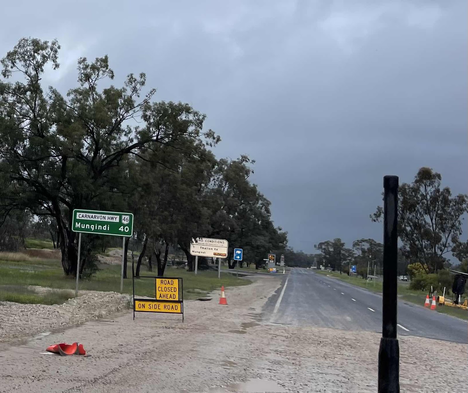
Out on to the Carnarvon Highway
Lots of water lying around

But pleased to see that the road to Mungindi was not closed

This is why they say to proceed with caution. Lots of water over the road


This is where the unsurfaced road that we started out on would have come out.

On the Highway, quite a bit of traffic now

Even this little river had water flowing


Made it back to Thallon
Out on to the Carnarvon Highway
Lots of water lying around
But pleased to see that the road to Mungindi was not closed
This is why they say to proceed with caution. Lots of water over the road
This is where the unsurfaced road that we started out on would have come out.
On the Highway, quite a bit of traffic now
Even this little river had water flowing
Over the border into NSW at Mungindi at the Barwon River


The Barwon

BOM image!!!

Turning off towards Moree on the Carnarvon Highway


Another 122 to Moree

Lots of water beside the road

and on the road


Carole Creek at Garah

Need more of these along the way. Good signal here but not much cop between towns!!


This was meant to be a lay by area


Obviously a large cotton growing area. Lots of cotton bales in paddocks

Another small town we passed through on our way to Moree

Continuing rain and water on the road

Eventually we reach Moree

But drive through it - observing from the car - too wet to get out!!!

Heading for our destination Narrabri on the Newell Highway. I had checked Wikicamps for somewhere suitable to pull up for the night, most rest areas were flooded. I rang the number for the Showgrounds in Narrabri and found there was space there. Hence that being our destination

Couldn’t go past this in Moree without taking a photo

Love this view - looks like kissing birds. It’s wonderful what your imagination can do whilst driving along!!!

Our turn

Welcome sight

Lots more traffic now that we are on the Newell, including vehicles like this with a preceding vehicle with an ‘oversized vehicle following’ sign

Lots of water on the roadside

Observed this new high rail bridge and realised that it is part of the Inland Rail project

Followed sections all the way to Narrabri


With various different sections being constructed independently


Took this photo as it reminded me of a previous occasion when we went this way and went via Mt Kaputar and looked at the amazing Sawn Rocks


Even lots of water in Horsearm Creek which is only a tributary of the Narrabri Creek

Driving through Narrabri to reach the showgrounds

Showgrounds are the other side of Narrabri Creek

The Spot seemed to happily work all day today, sending out points along our route

Wikicamps helped us find this place to camp

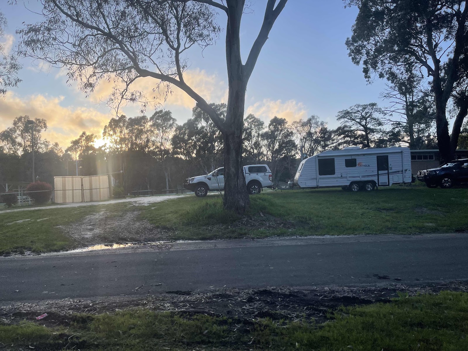
Light was fading as we found somewhere in the grounds to pull-up

After setting up we walked to the nearest hotel for a drink and a bite to eat as it was still raining and we didn’t want to open up the van more than we needed to
The Barwon
BOM image!!!
Turning off towards Moree on the Carnarvon Highway
Another 122 to Moree
Lots of water beside the road
and on the road
Carole Creek at Garah
Need more of these along the way. Good signal here but not much cop between towns!!
This was meant to be a lay by area
Obviously a large cotton growing area. Lots of cotton bales in paddocks
Another small town we passed through on our way to Moree
Continuing rain and water on the road
Eventually we reach Moree
But drive through it - observing from the car - too wet to get out!!!
Heading for our destination Narrabri on the Newell Highway. I had checked Wikicamps for somewhere suitable to pull up for the night, most rest areas were flooded. I rang the number for the Showgrounds in Narrabri and found there was space there. Hence that being our destination
Couldn’t go past this in Moree without taking a photo
Love this view - looks like kissing birds. It’s wonderful what your imagination can do whilst driving along!!!
Our turn
Welcome sight
Lots more traffic now that we are on the Newell, including vehicles like this with a preceding vehicle with an ‘oversized vehicle following’ sign
Lots of water on the roadside
Observed this new high rail bridge and realised that it is part of the Inland Rail project
Followed sections all the way to Narrabri
With various different sections being constructed independently
Took this photo as it reminded me of a previous occasion when we went this way and went via Mt Kaputar and looked at the amazing Sawn Rocks
Even lots of water in Horsearm Creek which is only a tributary of the Narrabri Creek
Driving through Narrabri to reach the showgrounds
Showgrounds are the other side of Narrabri Creek
The Spot seemed to happily work all day today, sending out points along our route
Wikicamps helped us find this place to camp
Light was fading as we found somewhere in the grounds to pull-up
After setting up we walked to the nearest hotel for a drink and a bite to eat as it was still raining and we didn’t want to open up the van more than we needed to
Checked on google maps which way to go
Fortunate we didn’t go that way as there is apparently a locked gate at the exit of the Showgrounds
We ended up walking the long way round.
Good exercise and worked up an appetite
Amazing meals at the pub
We shared a Thai salad with prawns and a chicken Caesar salad washed down with drinks of course
We walked back to the campsite afterwards amongst a chorus of frog calls from the adjacent lagoon

Our route for the day

Our route for the day

Plenty of water out west. Perhaps too much. As Dorothea said - a land of 'Drought and flooding rains. Hope you won't have too many more delays
ReplyDeleteThanks for your comment Lynne
ReplyDeleteTaking it all with the flow - pun intended.
Having a ball
Everyday brings a new adventure
Linda
I thought of Dorothea also Lynne :)
ReplyDelete😀💕
Delete