Day 8 leaving the van behind and exploring around Echuca
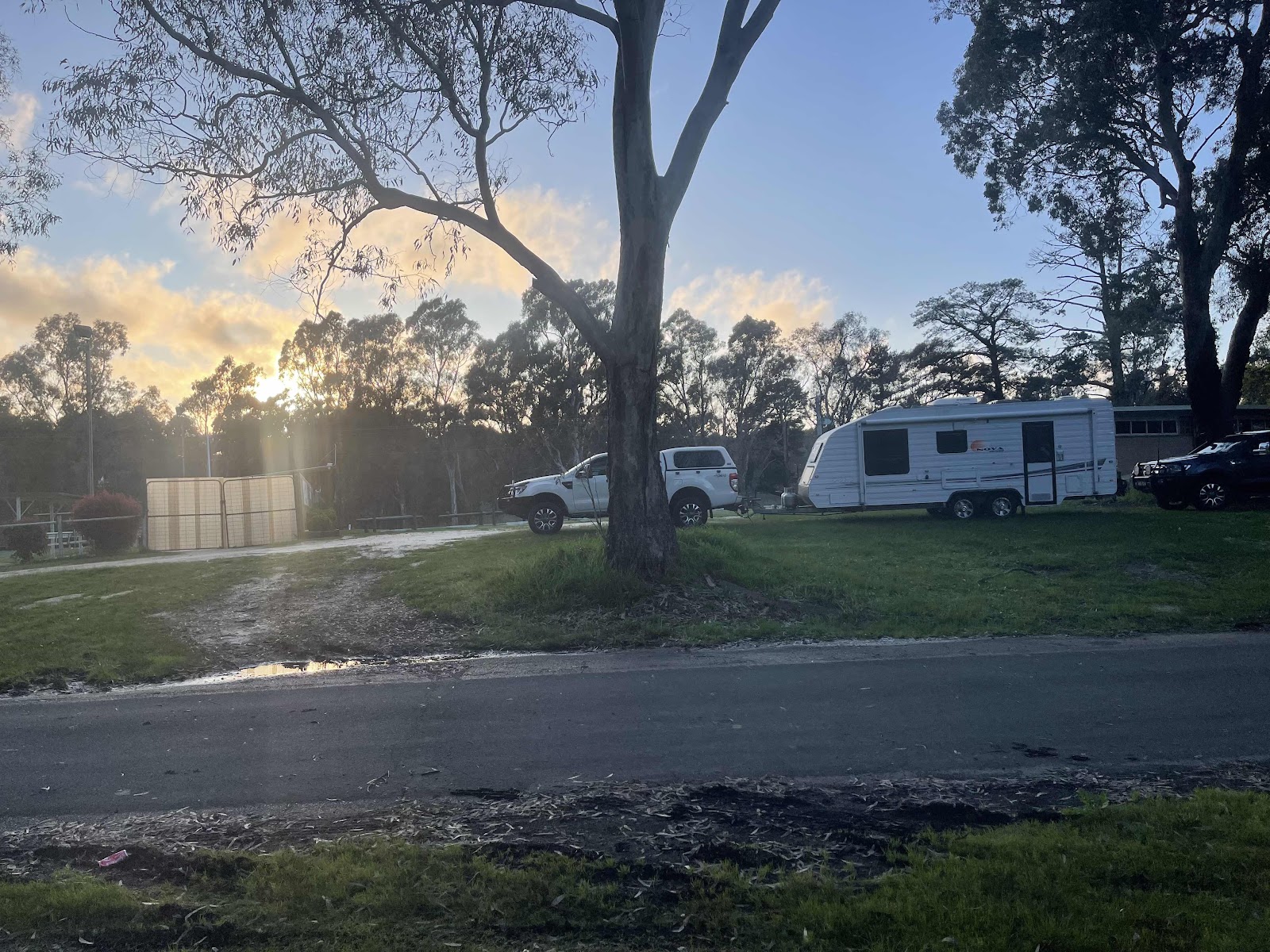
This is the view that I woke up to, looking from my window
Unfortunately quite overcast!!!

I went outside in the end to get a better view

Not as cold as predicted but cold enough!!!!

And it started to rain ☹️
More on the way too it seems

Bill set up the rain water guttering and it is working a treat

First thing we did this morning before tackling our week’s washing in the campsite laundry was to explore the sites further up the river
Bill set up the rain water guttering and it is working a treat
First thing we did this morning before tackling our week’s washing in the campsite laundry was to explore the sites further up the river


We did like the look of Billy’s Camp and it had it’s own amenities. However at the moment it is a bit too boggy and there are no views of the river as it is tucked behind the levee.
I think that we picked the best spot for ourselves

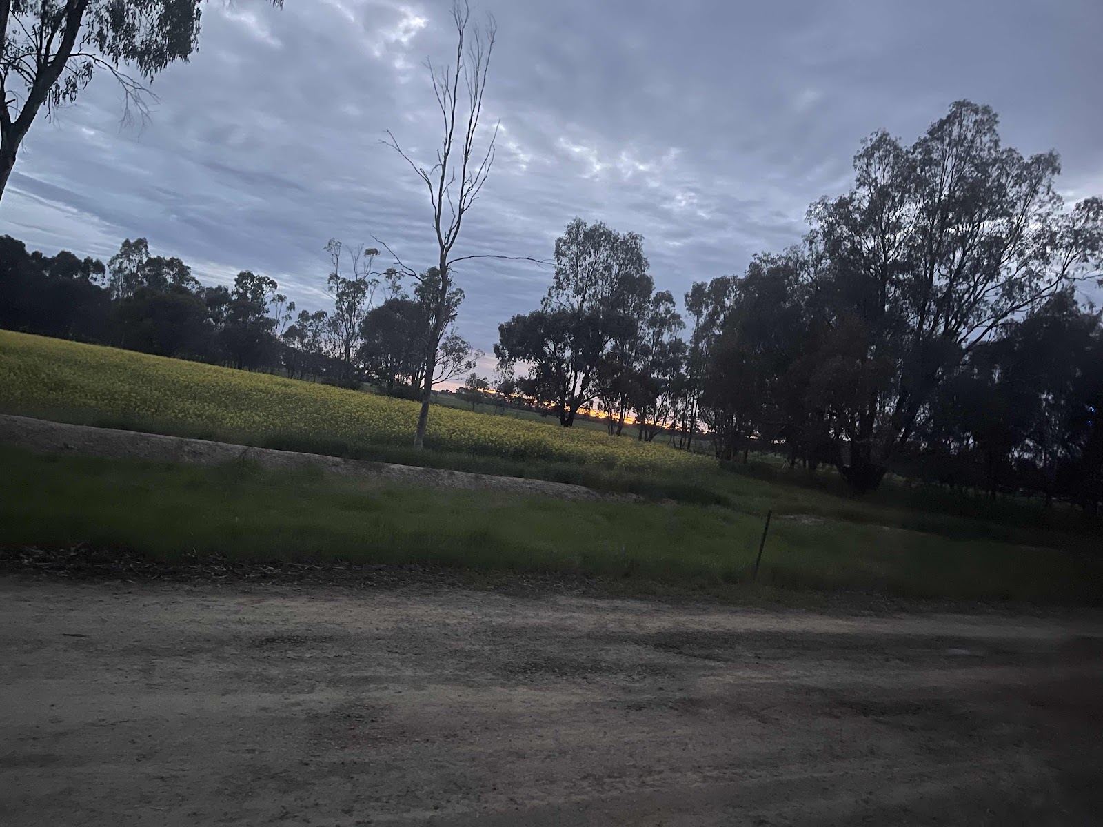
Canola fields wherever you look around this part of the country!!!!


This is the overall map for the resort. Lots of river frontage

This map shows the extension of the land and available camp sites further along the river

Our first trip out for the day after doing all the washing was to head out to the Cape Horn winery that the owners of the resort also owns.
Canola fields wherever you look around this part of the country!!!!
This is the overall map for the resort. Lots of river frontage
This map shows the extension of the land and available camp sites further along the river
Our first trip out for the day after doing all the washing was to head out to the Cape Horn winery that the owners of the resort also owns.
So we headed out over the river via the route that Google maps gave us to Stewart’s Bridge Rd where the winery is


We turned off at the signpost

Onto a gravel road


Over Deep Creek


Over Wallalla Creekl


Then we found ourselves on the other side of the river from the resort


We could see our van on the other side of the river


This photo has a sign ahead on a tree on the right with an arrow pointing ahead to Cape Horn

However the way ahead did not look promising

This is the road ahead !!!!

Bill was confident that the water wasn’t too deep
We turned off at the signpost
Onto a gravel road
Over Deep Creek
Over Wallalla Creekl
Then we found ourselves on the other side of the river from the resort
We could see our van on the other side of the river
This photo has a sign ahead on a tree on the right with an arrow pointing ahead to Cape Horn
However the way ahead did not look promising
This is the road ahead !!!!
Bill was confident that the water wasn’t too deep

So we continued on

I was too nervous and didn’t want to continue cos I couldn’t see clear road ahead so we turned back

We did pass this sign at the beginning of where the water was that didn’t say that the road was closed but I was not comfortable with continuing

This is the google maps that we were using to direct us to the Winery. Google doesn’t know about flooded roads!!!!

We went back out through Nathalia, a historic country town


This statue was in the Main Street


Some historic buildings in Nathalia
Broken Creek Emporium

Court House Emorium

After having a bite to eat at the local bakery, we called into this Heritage Centre.
Court House Emorium
After having a bite to eat at the local bakery, we called into this Heritage Centre.
 Mark in the centre was very helpful in telling us different facts about the area and showed us the amazing artwork on the floor in the centre that becomes 3D on the phone
The detail with the wildlife images was amazing


There was so much other information in the centre worth looking at too


We bought a stubby cooler as a momento from there and we could have stayed there all afternoon but it was time to move on- over Broken Creek

We went to fuel up at the local servo and we were greeted with a lady coming out to fill our tank for us. Something that we haven’t experienced for a long time
Another historic building on the outskirts of the town

Our next destination - Picola

To see this amazing silo art


Back over Broken Creek

We had planned to continue to Echuca from here but we had run out of time so - tomorrow!!!
There was so much other information in the centre worth looking at too
We bought a stubby cooler as a momento from there and we could have stayed there all afternoon but it was time to move on- over Broken Creek
We went to fuel up at the local servo and we were greeted with a lady coming out to fill our tank for us. Something that we haven’t experienced for a long time
Another historic building on the outskirts of the town
Our next destination - Picola
To see this amazing silo art
Back over Broken Creek
We had planned to continue to Echuca from here but we had run out of time so - tomorrow!!!
Interestingly we had seen signs in Nathalia to Echuca going the other direction. We couldn’t work out why. Then we realised that it depends if you are in Victoria or NSW as to the directions provided for Echuca

Stopped to look at this old paddle steamer

Came across this pine tree in the park there

and noticed this plaque below it

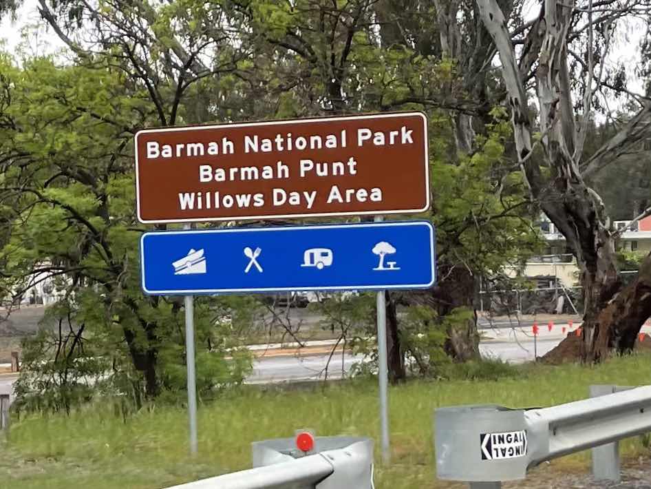
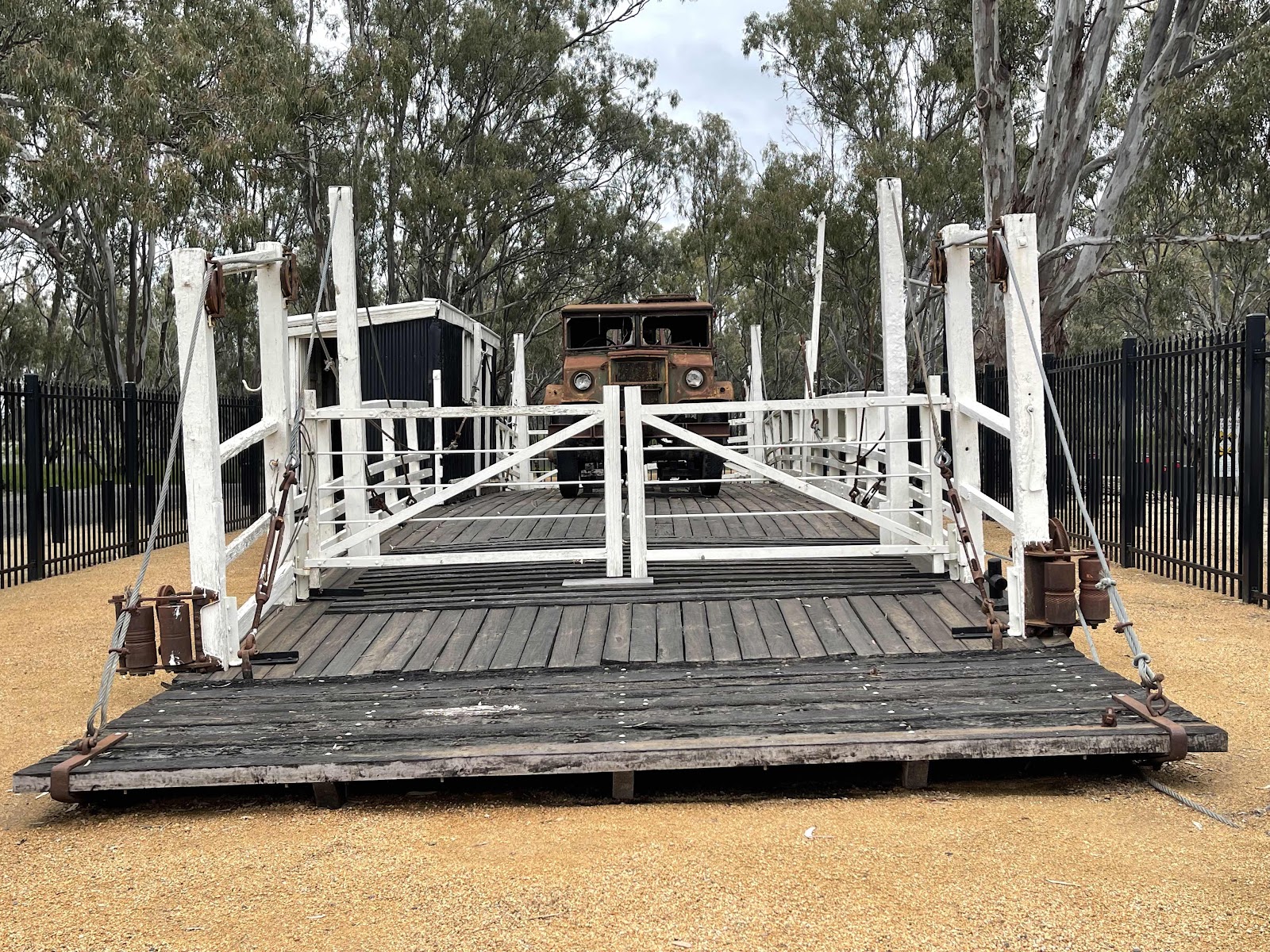
Our next stop was to check out the old punt that used to transport vehicular traffic across the Murray at Barmah


The punt was protected by fencing so Bill climbed onto the car to get a photo over the fence


Next thing - crossing over the Murray we pass back into NSW


We passed through an interesting cutting that we hadn’t noticed yesterday when we came this way in. It’s significance was explained to us by Mark at the Barmah Heritage centre


The crest from the ridge continued quite a distance beside the road . Apparently there was an earthquake 30 thousand years ago that caused a series of land shifts that ended up creating this ridge that the road had been cut through

This shows the route that we travelled today

We drove down to the amenities to have a shower, when we got back. Then had a delicious fish dinner to top off another great day that did not turn out as planned but nevertheless very interesting

Stopped to look at this old paddle steamer
Came across this pine tree in the park there
and noticed this plaque below it
Our next stop was to check out the old punt that used to transport vehicular traffic across the Murray at Barmah
The punt was protected by fencing so Bill climbed onto the car to get a photo over the fence
Next thing - crossing over the Murray we pass back into NSW
We passed through an interesting cutting that we hadn’t noticed yesterday when we came this way in. It’s significance was explained to us by Mark at the Barmah Heritage centre
The crest from the ridge continued quite a distance beside the road . Apparently there was an earthquake 30 thousand years ago that caused a series of land shifts that ended up creating this ridge that the road had been cut through
This shows the route that we travelled today
We drove down to the amenities to have a shower, when we got back. Then had a delicious fish dinner to top off another great day that did not turn out as planned but nevertheless very interesting

Lifes good :-) xoxo
ReplyDeleteSure is
DeleteHow lucky are we to be able to enjoy this beautiful country that we live in