Day 16 Lorne to Bimbi Park
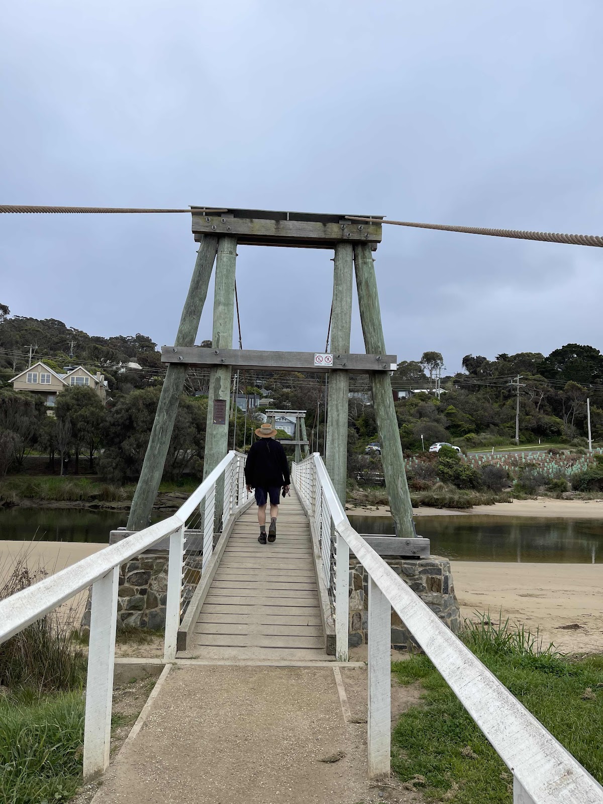
Time to move on out of the van park. So we packed up and moved out but parked over the river so that we could check out the Swing Bridge
We walked along the path on the other side of the river
 Down to the beach with views across to town
 We then walked around along the beach to the estuary with views across to the swing bridge
The estuary of the Erskine River

Info about the Swing Bridgr

Views across the bridge from a derelict cafe

Walked over the bridge to the other side of the river

We then walked back along the pathway the other side with views back across to the bridge


Having fun


Ducks and their chicks in the water along the way


Before leaving Lorne I wanted to go and look at some of the artwork at Qdos
I saw these from the road when we drove past the other day so was curious to know what they were, seems they are meant to represent test crash dummies

Had a look at some of the other artworks there
I particularly liked this artwork called beach box

Had a bit of fun with it


Looked around the area at the other artworks there


We then drove back down to the great ocean road heading west alongside part of the new Tramway track

Continuing on to Apollo Bay


We stopped off at the estuary of the Saint George River as this was the area that our loop walk came down to before turning and going back along the Tramway track. This photo shows views across to where we were


This is where the helicopter landed yesterday


Bill walked down to the beach

And took photos up to the road where we had to park the car

I then took photos of him down on the beach

Good photo of the estuary as we drove away

Such a beautiful drive along the coastline, weather wasn’t the best but it wasn’t raining so just took lots of photos along the way


we had planned to walk to the Sheoak Falls but I had read that there was limited parking in the car park so we pulled in at the parking bay just before the turn off to the car park

Good move as it turned out, as the middle of the walk was right opposite where we had parked and there was easy access to the track from the road

Interesting rock face beside the walkway


Steps on part of the pathway

Stopped to take photos across to the falls


Turned off the walkway towards the falls decided not to go as far as the cave as there wasn’t time


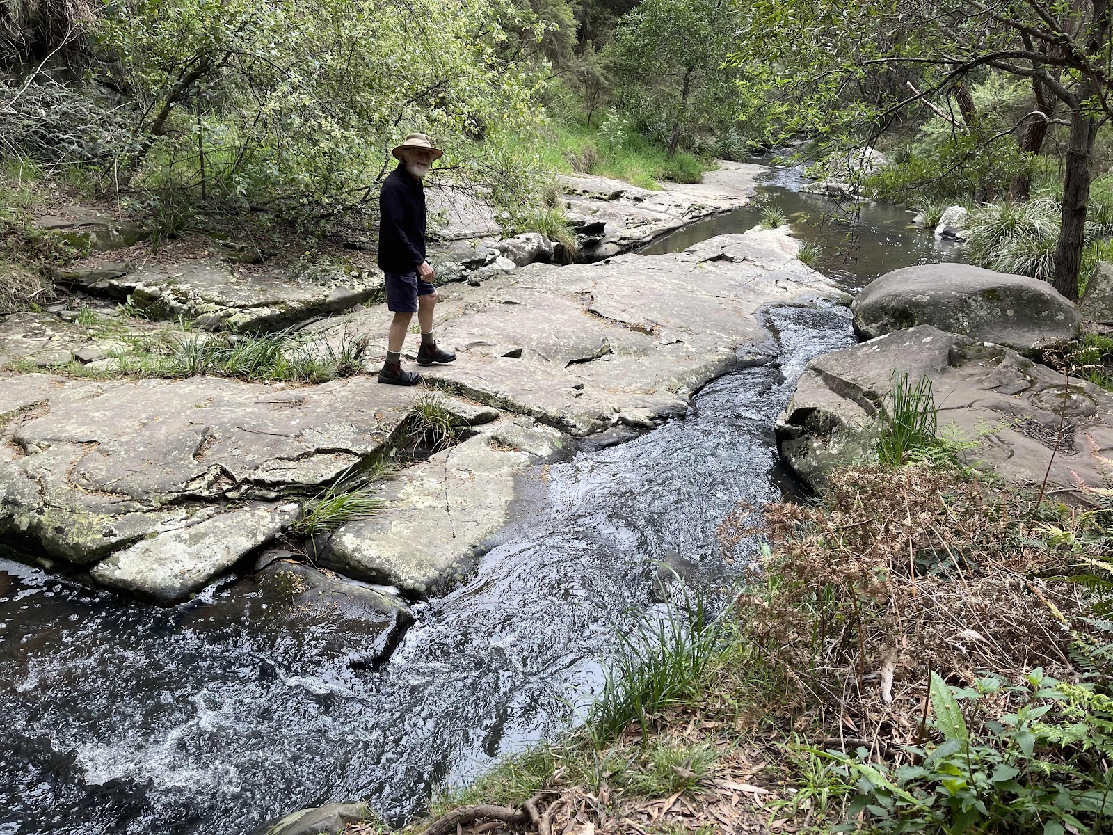
Reaching the falls took lots of photos around this area


Bill walked around on the rocks to get closer to the falls at the side


We then walked along the rocks beside the creek


Views out to the ocean on the walkway back down to the car


Came across a lady that was taking photos of something so we stopped to see what she was taking photos of it was of this bird that we never ascertained what it was!!!
Looked around the area at the other artworks there
We then drove back down to the great ocean road heading west alongside part of the new Tramway track
Continuing on to Apollo Bay
We stopped off at the estuary of the Saint George River as this was the area that our loop walk came down to before turning and going back along the Tramway track. This photo shows views across to where we were
This is where the helicopter landed yesterday
Bill walked down to the beach
And took photos up to the road where we had to park the car
I then took photos of him down on the beach
Good photo of the estuary as we drove away
Such a beautiful drive along the coastline, weather wasn’t the best but it wasn’t raining so just took lots of photos along the way
we had planned to walk to the Sheoak Falls but I had read that there was limited parking in the car park so we pulled in at the parking bay just before the turn off to the car park
Good move as it turned out, as the middle of the walk was right opposite where we had parked and there was easy access to the track from the road
Interesting rock face beside the walkway
Steps on part of the pathway
Stopped to take photos across to the falls
Turned off the walkway towards the falls decided not to go as far as the cave as there wasn’t time
Reaching the falls took lots of photos around this area
Bill walked around on the rocks to get closer to the falls at the side
We then walked along the rocks beside the creek
Views out to the ocean on the walkway back down to the car
Came across a lady that was taking photos of something so we stopped to see what she was taking photos of it was of this bird that we never ascertained what it was!!!
Although Lynda thinks that it may be a white checked honeyeater
 Back down to the road next to the creek

The AllTrails map of our walk
Back down to the road next to the creekThe AllTrails map of our walk

And on our way along the GOR again

With lots of great views along the way

Pulling into lots of these to allow faster vehicles to pass

And stopping off at key lookout spots


Explored around this Cumberland river area


Stopped off at this lookout

With interesting history plaques


With an opportunity to take photos of the amazing rock faces on the side of the road

Continuing travelling - taking photos along the way


Stopped off here


Bill went down to see if he could see parts of the WB Godfrey wreck


There were parts of the wreck visible

Continuing along the great ocean road again taking photos of various different points along the way


We were previously going to stop at Wye River as it had been recommended to us but we made the decision to continue on and hence just drove on through Wye river not even stopping


Pulled in here at Kennett River and ordered lunch at the little cafe


Saw lots of Rosellas there


Bill took a photo of this very sad looking bird with reasons why not to feed the birds

We walked along beside the river along the nature walk

Taking photos of the information signs along the way


We did not go the whole way along the Kennett River nature walk this map shows how far we went

Continued on along the GOR taking shots of the coastline again


Stopping off at specific lookouts
 Amused by this sign for non-Australians


Had to stop for a short while for some roadworks repairing some erosion


Tree lined roadside on the approach to Apollo Bay


Sculptures at the Apollo Bay information centre


The main street of Apollo Bay that we drove through to continue on our way

Turning off towards Port Campbell


Now heading up into the range away from the coastline


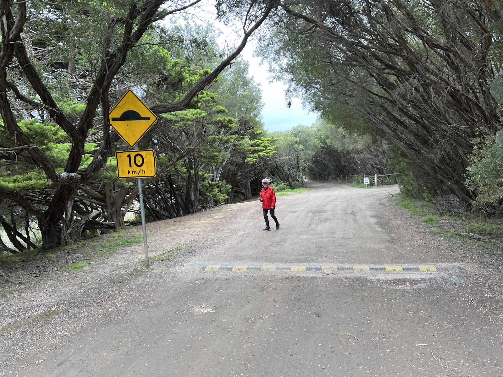
Taking the turn towards the Lighthouse as this is the way to Bimbi Park where we had planned to stay


Pretty tree lined road on the way down

But the countryside suddenly opened out into farming land

Reached the turn off to Bimbi Park in good time


When we arrived at the reception we walked around to check where we would like to camp as we discovered there were several school groups and we did not wish to camp near where they were camped

This is the Hema map track of where we drove today

With lots of great views along the way
Pulling into lots of these to allow faster vehicles to pass
And stopping off at key lookout spots
Explored around this Cumberland river area
Stopped off at this lookout
With interesting history plaques
With an opportunity to take photos of the amazing rock faces on the side of the road
Continuing travelling - taking photos along the way
Stopped off here
Bill went down to see if he could see parts of the WB Godfrey wreck
There were parts of the wreck visible
Continuing along the great ocean road again taking photos of various different points along the way
We were previously going to stop at Wye River as it had been recommended to us but we made the decision to continue on and hence just drove on through Wye river not even stopping
Pulled in here at Kennett River and ordered lunch at the little cafe
Saw lots of Rosellas there
Bill took a photo of this very sad looking bird with reasons why not to feed the birds
We walked along beside the river along the nature walk
Taking photos of the information signs along the way
We did not go the whole way along the Kennett River nature walk this map shows how far we went
Continued on along the GOR taking shots of the coastline again
Stopping off at specific lookouts
Amused by this sign for non-AustraliansHad to stop for a short while for some roadworks repairing some erosion
Tree lined roadside on the approach to Apollo Bay
Sculptures at the Apollo Bay information centre
The main street of Apollo Bay that we drove through to continue on our way
Turning off towards Port Campbell
Now heading up into the range away from the coastline
Taking the turn towards the Lighthouse as this is the way to Bimbi Park where we had planned to stay
Pretty tree lined road on the way down
But the countryside suddenly opened out into farming land
Reached the turn off to Bimbi Park in good time
When we arrived at the reception we walked around to check where we would like to camp as we discovered there were several school groups and we did not wish to camp near where they were camped
This is the Hema map track of where we drove today
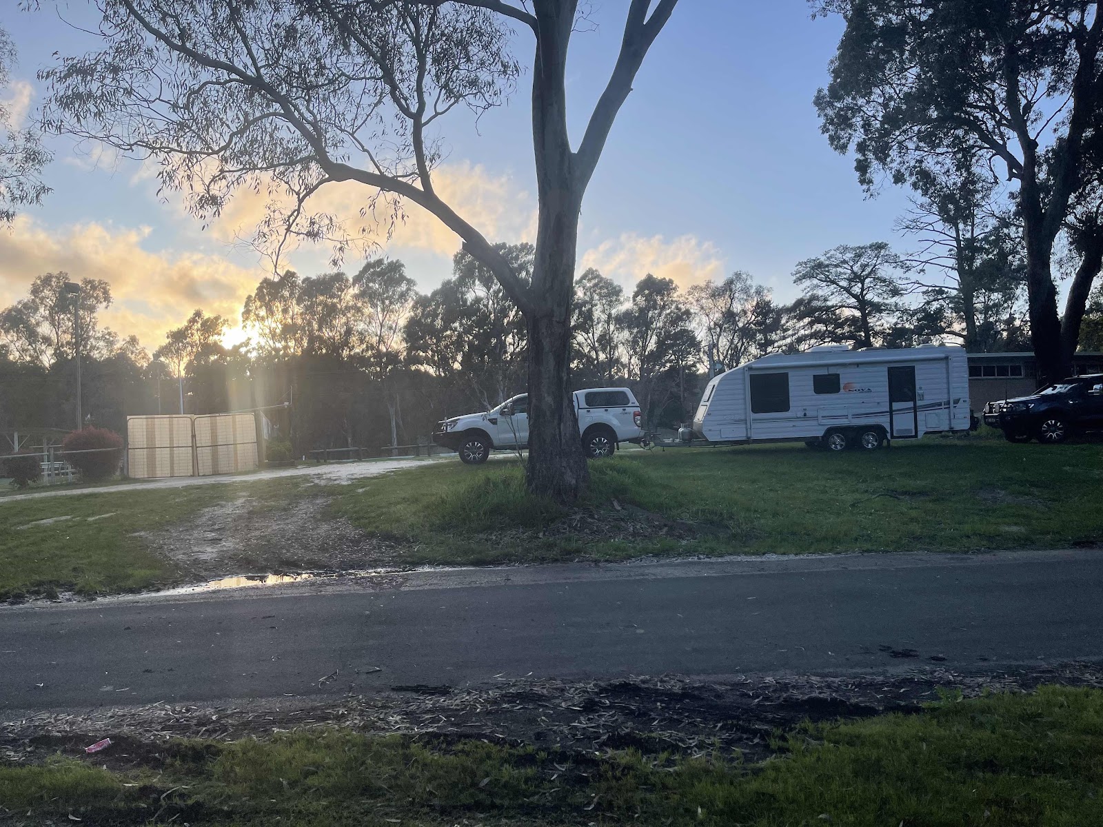
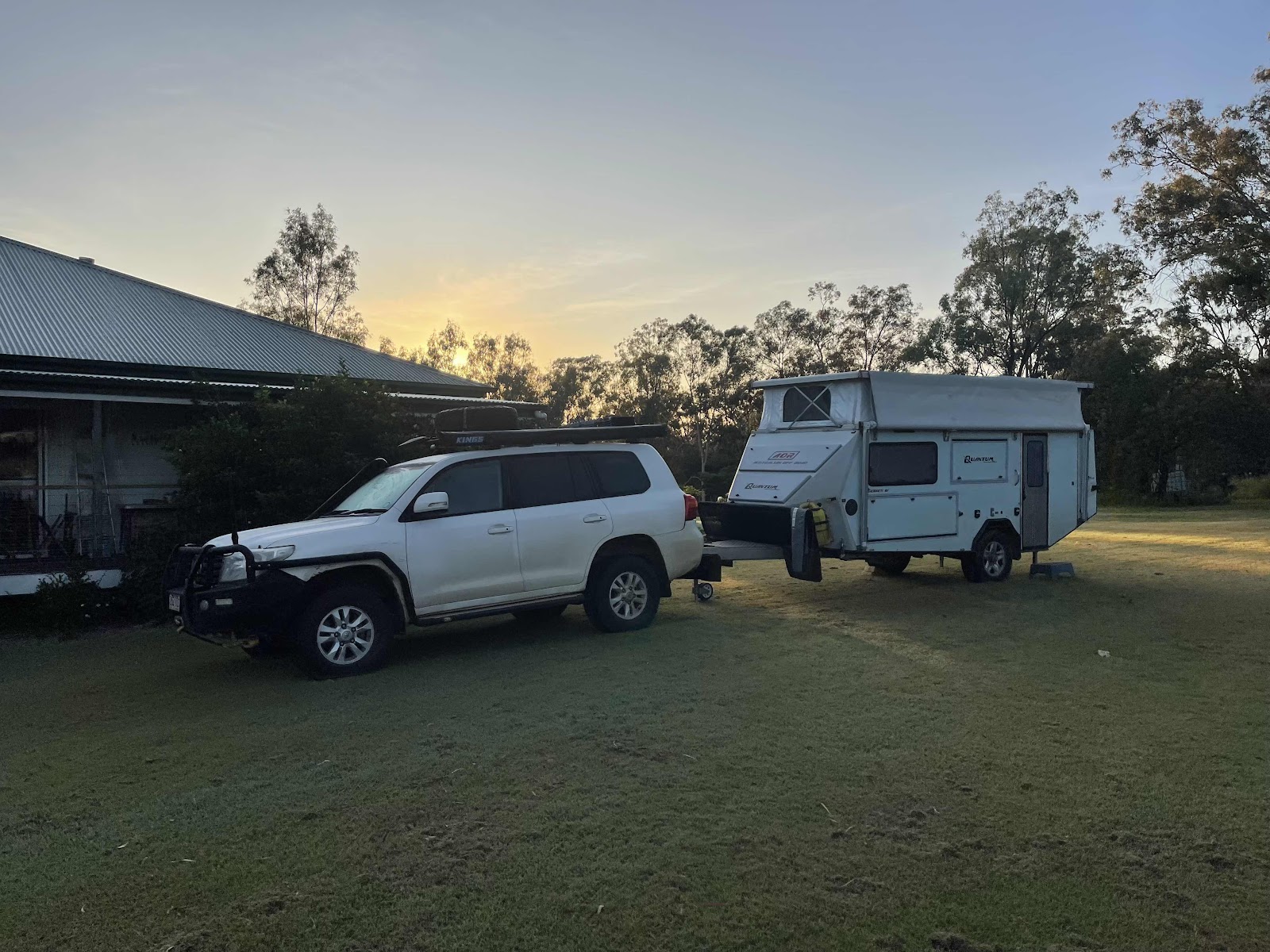
We found a nice levelish grassy spot at the back of the campsite away from others


Where we set up for the night
 Where we set up for the night

It was a bit cold and windy but we were snug and warm inside
Where we set up for the night
Where we set up for the nightIt was a bit cold and windy but we were snug and warm inside
We decided to cook up a packet pasta meal for dinner inside the van as it was too cold to cook outside
By the time we got into bed it had started to get a bit blustery little did we know it was going to get worse

Comments
Post a Comment