Day 20 The Twelve Apostles and more

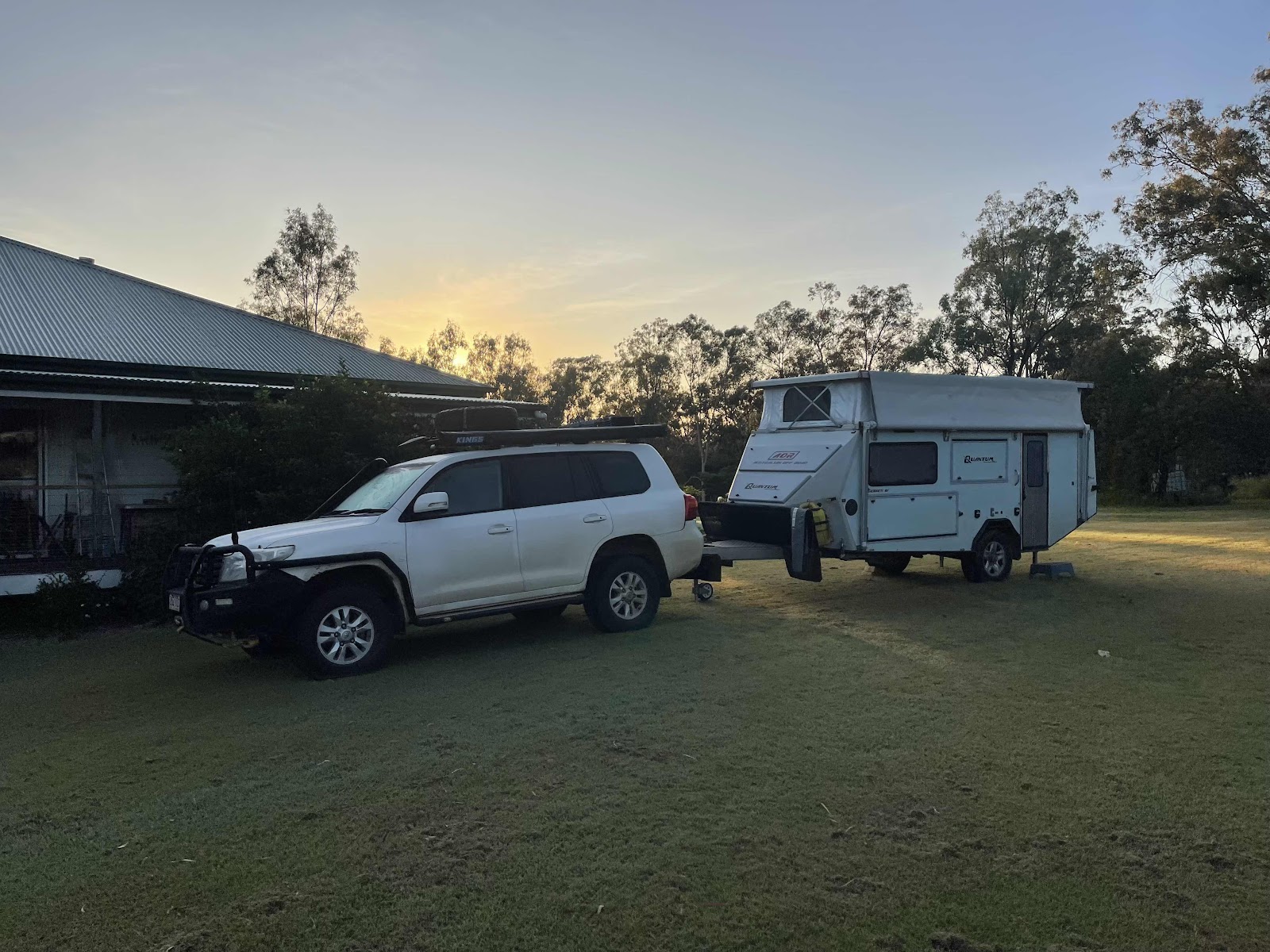
Cold morning - 7 degrees
Our plan for the day…
Stay another night where we are and explore the twelve apostles etc just by car - so much easier without the van


Past sheep paddocks

Heading towards point Campbell

Check out these scenic attractions

First one on the list that was actually just down the road from where we are camped is the famous 12 apostles

Which are all part of the Port Campbell National Park we have moved on from the Cape Otway National Park

First stop Gibson steps


Views from the top before descending the steps


This gate was fortunately open for us.

We walked along the beach so that we could see the other rock behind the first big one

How lucky are we today that the sun is out and the protrusions look so beautiful in the sunshine

View out to see the second hidden one
A group had walked past the corner we decided to turn back at this point


And head back up the steps

My view of Bill going up the steps

And Bill’s view of me down below

This WikiCamps shot shows where we are heading

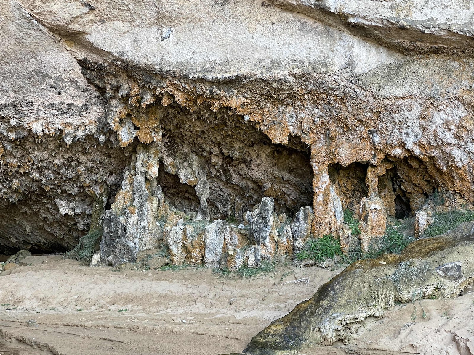
There is fresh water flowing down the rock face just near the steps here making it lush green

Bill on his way back up the steps

Linda on her way back up the steps

Even wildflowers on the hillside here

Past an area where there was construction happening this noticeboard explains what the construction is

Next to turn off to the busy car park to the 12 apostles


We had a brief look in the centre before walking out to the lookout
Interesting useful information on the noticeboard outside the centre


Everywhere we have been for the last week or so there have been masses of beautiful fairy wrens
On the road again for more viewing of top spots along the coastline


So next spot Loch Ard Gorge


We went to Wreck point first


Had our photo taken yeah we stood either side so that the rocks could be seen

But the person taking the photo insisted we stood together on one side and cuddled


Access to The Razorback was from the same point so we checked that out here too


Next we went to Loch Ard Gorge

Spent ages here as there was so much to see


We counted the steps too there were 79 steps


Back up the steps after we had spent quite some time looking around the area


We drove along the road to access the Thunder Cave but accessed the other viewpoints from the same place


Spotted this Rufous Bristlebird on the path

More helicopters flying overhead


Thunder.cave was amazing - lived up to its name as the waves crashing against the rocks sounded like Thunder


Stood for ages waiting for a chance to video the sound as there were quite a few other people there and they were talking


Moved on to check out broken head


And then around to look out where we could see mutton bird Island


Driving back down the road we saw a sign for the Lochard cemetery

So we went down there to look at the grapes there


This one was the Carmichael family plot

This plaque gives information about the people who died - note the number of the Carmichael family

I was interested in this grave because of the name Robe. there was a Robe family plot in the previous cemetery that we visited and I wondered if it was the same family

Wandered around the cemetery looking at other graves and checking the dates on them


From the cemetery you could see over to the lookout on the Headland on the other side


This headstone explains the story of the Carmichael family

Continuing on the road


Still with great views on our left

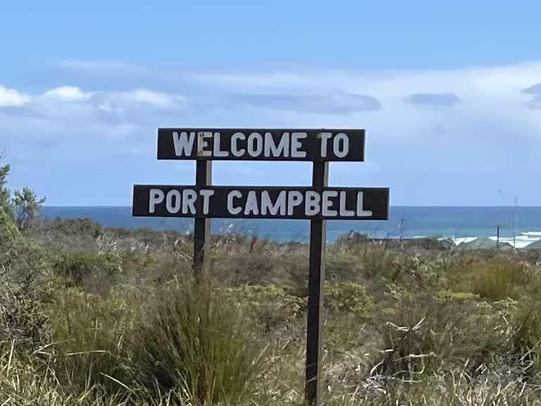
We headed in to Port Campbell


Where we found a cafe with great views of the water where we could have a drink and some food

We each had a drink from the local Prickly Moses brewery myself ginger beer and Bill an ale

After lunch we checked out the Port Campbell foreshore


We also called in to the information centre to see if there was anything particularly interesting in Port Campbell for us to see before we moved on

Some interesting information in the information centre about the shipwrecks and some of the items retrieved from them


We went on part of the discovery walk to try to find the suspension bridge that the person in the information centre told us about that had been specially built for people to get across the river

We walked part the way across the suspension bridge but didn’t continue on the discovery walk because it would have taken too long


We walked round past the pier to try to find the two places that have been highlighted on our map by cat from Bimbi Park for us to visit but we couldn’t find either of the places one of them was Sentinel rocks and the other one was Beacon Steps
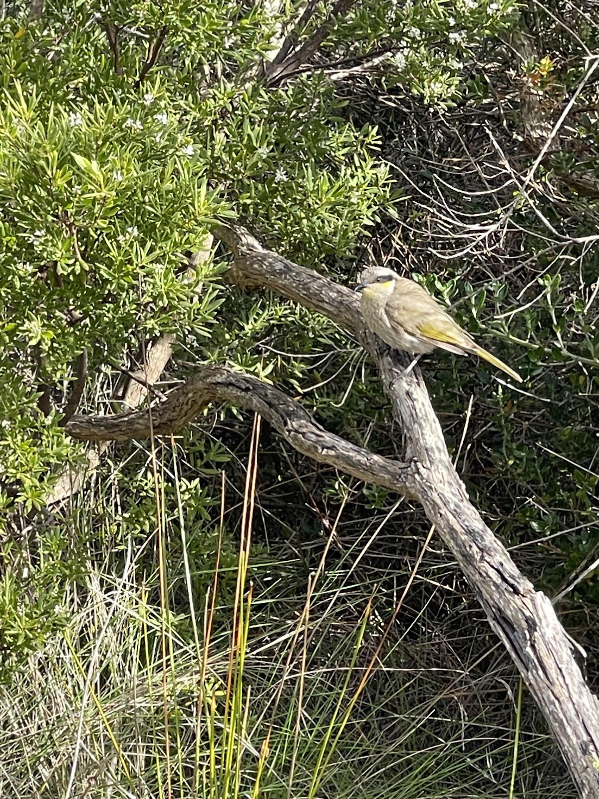
Saw this bird on our walk around though

Lynda Litz suggested that this may be a juvenile singing honeyeater

And we did find this soldiers Memorial on the headland


Interesting information boards next to the jetty

Interesting that this information board mentions a rescue at beacon steps but we still couldn’t fathom out where this was


Lots of rabbits around this area in fact we have been seeing quite a few rabbits around in our recent travels

We walked out onto the jetty but didn’t stay there long as it was very cold and windy


We drove along some of the tracks towards some headlands on our way back from Port Campbell


Such as this one at Sparkes Gully

We had spotted these wind turbines in the distance earlier on in the day and they looked like they weren’t that far away


And Peak Point


And Bakers oven

Stood there for ages trying to get a photo of the waves crashing through the opening


Another spot we stopped at was the Sherbrooke River

We could see across to the walkway to the Sherbrooke river estuary that we went past early in the day and in this photo you can see somebody standing at the end of that pathway on the rock


This wiki camps screenshot shows several of the spots that we had visited today

For our return trip to our camp spot in Princetown we went away from the coast inland to try to see if we could see where the wind turbines were


On our travels we seemed to be getting closer to them

It was a pretty country drive

And closer

And finally we arrived at them…,


crossed these roads to get back onto the road to Princetown

And drove through an area that had obviously been affected by the bushfires


Back onto the B 100 just near Princetown

Driving just above the track that we had driven on the day before taking us along the old ocean road

Our HEMA map tracking for the day


Past sheep paddocks
Heading towards point Campbell
Check out these scenic attractions
First one on the list that was actually just down the road from where we are camped is the famous 12 apostles
Which are all part of the Port Campbell National Park we have moved on from the Cape Otway National Park
First stop Gibson steps
Views from the top before descending the steps
This gate was fortunately open for us.
I guess it has to be closed off sometimes with no access to the steps and the beach

On the way down the steps to the beach


A view back up the steps that we have just come down.
On the way down the steps to the beach
A view back up the steps that we have just come down.
we actually counted the steps out of interest - 87 in total

We walked along the beach to the first rock

Took a screenshot of the WikiCamps page to show where we were and interestingly one of the Sunday cycle messages came up on my screenshot.
We walked along the beach to the first rock
Took a screenshot of the WikiCamps page to show where we were and interestingly one of the Sunday cycle messages came up on my screenshot.
we have been receiving all the Cycle group messages
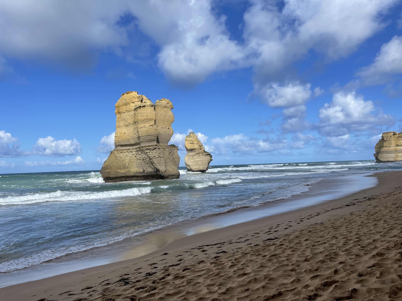
We walked along the beach so that we could see the other rock behind the first big one
How lucky are we today that the sun is out and the protrusions look so beautiful in the sunshine
View out to see the second hidden one
A group had walked past the corner we decided to turn back at this point
And head back up the steps
My view of Bill going up the steps
And Bill’s view of me down below
This WikiCamps shot shows where we are heading
There is fresh water flowing down the rock face just near the steps here making it lush green
Bill on his way back up the steps
Linda on her way back up the steps
Even wildflowers on the hillside here
Past an area where there was construction happening this noticeboard explains what the construction is
Next to turn off to the busy car park to the 12 apostles
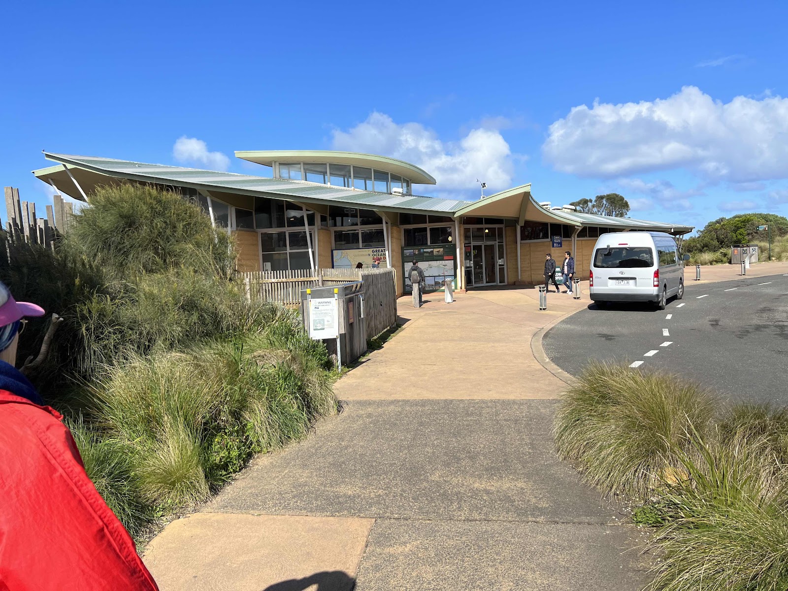
We had a brief look in the centre before walking out to the lookout
Interesting useful information on the noticeboard outside the centre
Everywhere we have been for the last week or so there have been masses of beautiful fairy wrens
finally managed to get a decent photo of one in the middle of the pathway here. others were just walking past obviously not interested in the birds, more interested in the 12 apostles


And here they are what’s left of them in all their glory

And as I said, so lucky the sun was shining today so they looked quite majestic with the sun shining on them

The obligatory photo standing in front of them

We walked further round to a different lookout spot.
And here they are what’s left of them in all their glory
And as I said, so lucky the sun was shining today so they looked quite majestic with the sun shining on them
The obligatory photo standing in front of them
We walked further round to a different lookout spot.
Here we noticed that there was a project to do more work on more look out spots


Where somebody else kindly took photo for us


Needless to say took lots of photos around here


And there were a couple of helicopters flying over they were obviously doing paid helicopter flights for tourists

Tracked on Wikicamps where we walked to Castle Rock look out
Where somebody else kindly took photo for us
Needless to say took lots of photos around here
And there were a couple of helicopters flying over they were obviously doing paid helicopter flights for tourists
Tracked on Wikicamps where we walked to Castle Rock look out
On the road again for more viewing of top spots along the coastline
So next spot Loch Ard Gorge
We went to Wreck point first
Had our photo taken yeah we stood either side so that the rocks could be seen
But the person taking the photo insisted we stood together on one side and cuddled
So we obliged
Access to The Razorback was from the same point so we checked that out here too
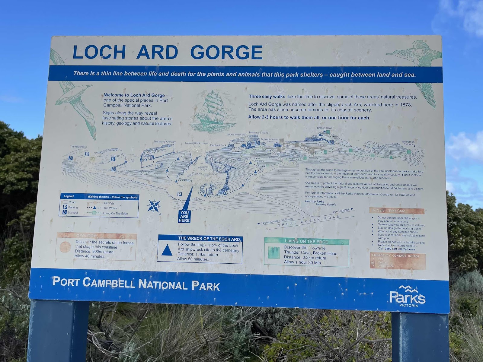
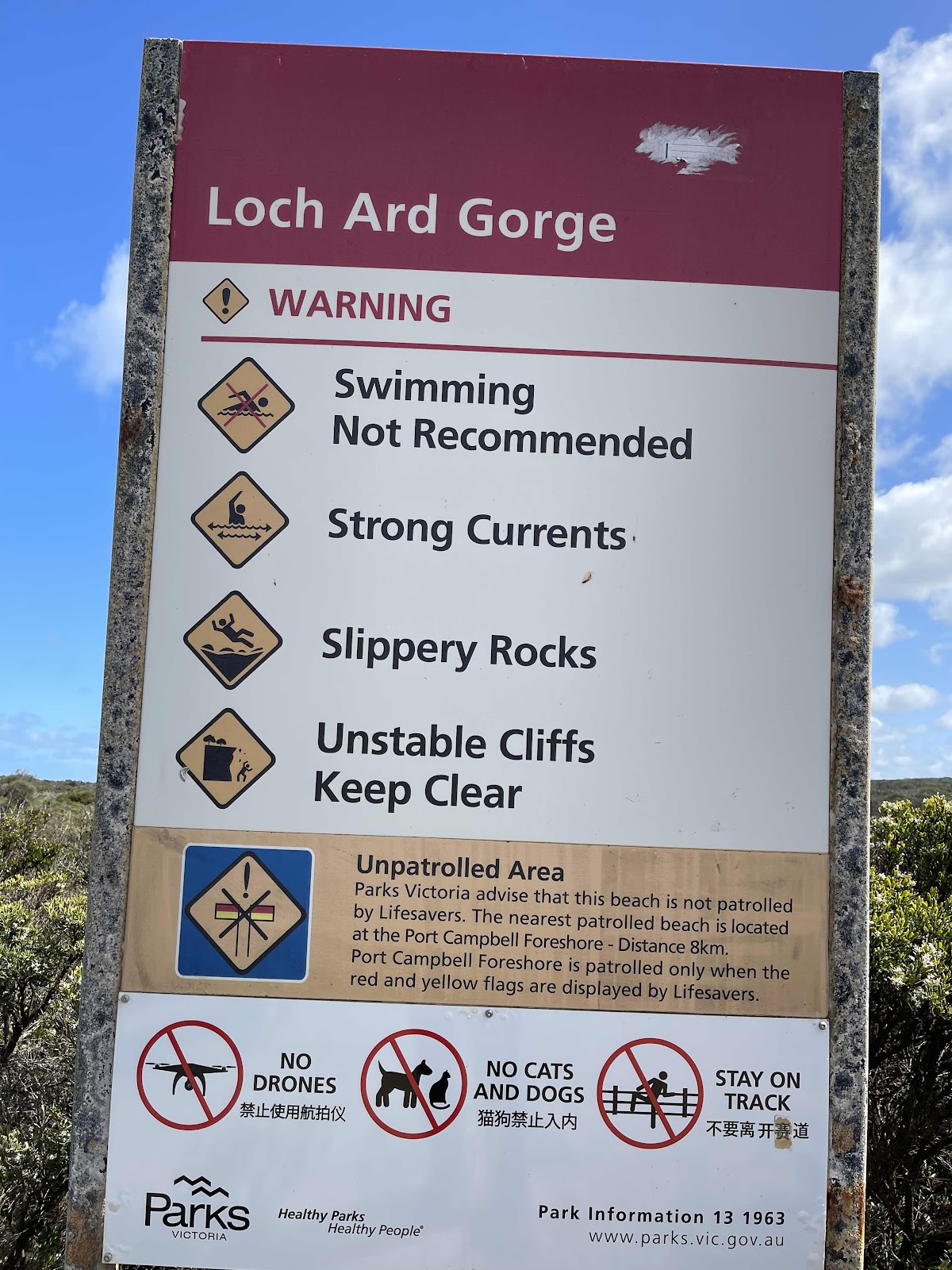
Next we went to Loch Ard Gorge
Spent ages here as there was so much to see
We counted the steps too there were 79 steps
Back up the steps after we had spent quite some time looking around the area
We drove along the road to access the Thunder Cave but accessed the other viewpoints from the same place
Spotted this Rufous Bristlebird on the path
More helicopters flying overhead
Thunder.cave was amazing - lived up to its name as the waves crashing against the rocks sounded like Thunder
Stood for ages waiting for a chance to video the sound as there were quite a few other people there and they were talking
Moved on to check out broken head
And then around to look out where we could see mutton bird Island
Driving back down the road we saw a sign for the Lochard cemetery
So we went down there to look at the grapes there
This one was the Carmichael family plot
This plaque gives information about the people who died - note the number of the Carmichael family
I was interested in this grave because of the name Robe. there was a Robe family plot in the previous cemetery that we visited and I wondered if it was the same family
Wandered around the cemetery looking at other graves and checking the dates on them
From the cemetery you could see over to the lookout on the Headland on the other side
This headstone explains the story of the Carmichael family
Continuing on the road
Still with great views on our left
We headed in to Port Campbell
Where we found a cafe with great views of the water where we could have a drink and some food
We each had a drink from the local Prickly Moses brewery myself ginger beer and Bill an ale
After lunch we checked out the Port Campbell foreshore
We also called in to the information centre to see if there was anything particularly interesting in Port Campbell for us to see before we moved on
Some interesting information in the information centre about the shipwrecks and some of the items retrieved from them
We went on part of the discovery walk to try to find the suspension bridge that the person in the information centre told us about that had been specially built for people to get across the river
We walked part the way across the suspension bridge but didn’t continue on the discovery walk because it would have taken too long
We walked round past the pier to try to find the two places that have been highlighted on our map by cat from Bimbi Park for us to visit but we couldn’t find either of the places one of them was Sentinel rocks and the other one was Beacon Steps
Saw this bird on our walk around though
Lynda Litz suggested that this may be a juvenile singing honeyeater
And we did find this soldiers Memorial on the headland
Interesting information boards next to the jetty
Interesting that this information board mentions a rescue at beacon steps but we still couldn’t fathom out where this was
Lots of rabbits around this area in fact we have been seeing quite a few rabbits around in our recent travels
We walked out onto the jetty but didn’t stay there long as it was very cold and windy
We drove along some of the tracks towards some headlands on our way back from Port Campbell
Such as this one at Sparkes Gully
We had spotted these wind turbines in the distance earlier on in the day and they looked like they weren’t that far away
And Peak Point
And Bakers oven
Stood there for ages trying to get a photo of the waves crashing through the opening
Another spot we stopped at was the Sherbrooke River
We could see across to the walkway to the Sherbrooke river estuary that we went past early in the day and in this photo you can see somebody standing at the end of that pathway on the rock
This wiki camps screenshot shows several of the spots that we had visited today
For our return trip to our camp spot in Princetown we went away from the coast inland to try to see if we could see where the wind turbines were
On our travels we seemed to be getting closer to them
It was a pretty country drive
And closer
And finally we arrived at them…,
crossed these roads to get back onto the road to Princetown
And drove through an area that had obviously been affected by the bushfires
Back onto the B 100 just near Princetown
Driving just above the track that we had driven on the day before taking us along the old ocean road
Our HEMA map tracking for the day

Comments
Post a Comment