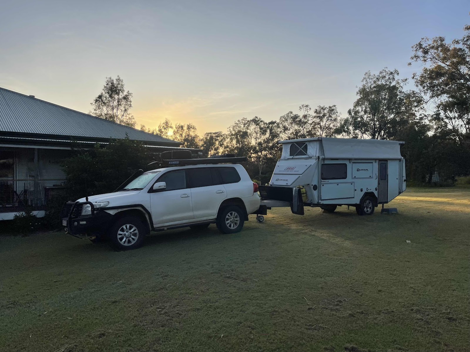
Day 28 travelling south west
Didn’t take any photos last night of this amazing camp kitchen right behind our camp site, that we used, so I made sure I took photos this morning.


this was the area behind the camp kitchen where Bill lit the fire and we sat and ate our dinner watching TV

On the road, passed this mill - well known brand


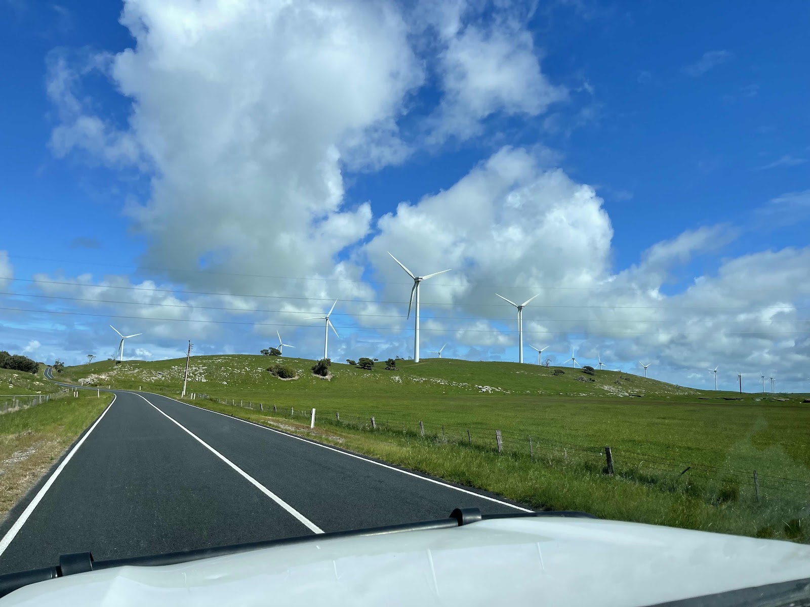
I had read about this wind farm on woakwine range so wanted to go and see them. They weren’t quite on our way but only just south of where we had ended up last night

So we drove along the road beside them along the tourist drive. There were apparently 135 of them. Supposed to be the largest wind farm in the Southern Hemisphere


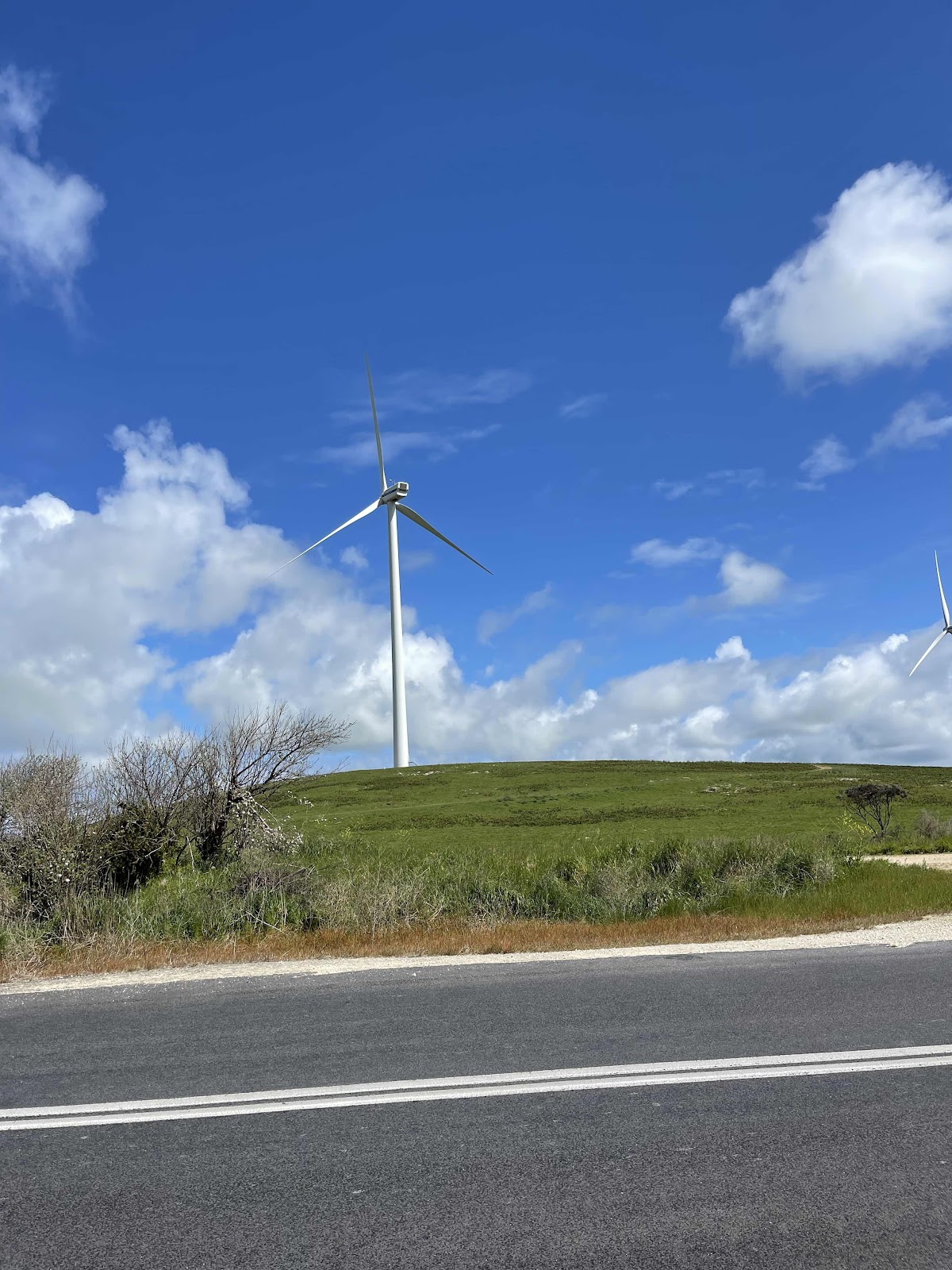

Took lots of photos as they stretched on for miles

Past this place I did not go in and have a tasting

Continuing on through very green pastures

An area where roadside trees are being planted

Heading for Kingston for our first stop

However pulled up here for a mini break


On the road again
Most of the road was like this pretty straight with coastal bush on the right side

A wombat sign - wow, I think I would get pretty excited if I saw one crossing the road, seeing as we never normally get to see one at all!!!

we bypassed Beachport although accidentally turned off and had to turn back


So back out onto the southern Port Highway

With Lake George on our left


Then passed Lake St Clair and Lake Eliza

A wombat sign - wow, I think I would get pretty excited if I saw one crossing the road, seeing as we never normally get to see one at all!!!
we bypassed Beachport although accidentally turned off and had to turn back
So back out onto the southern Port Highway
With Lake George on our left
Then passed Lake St Clair and Lake Eliza
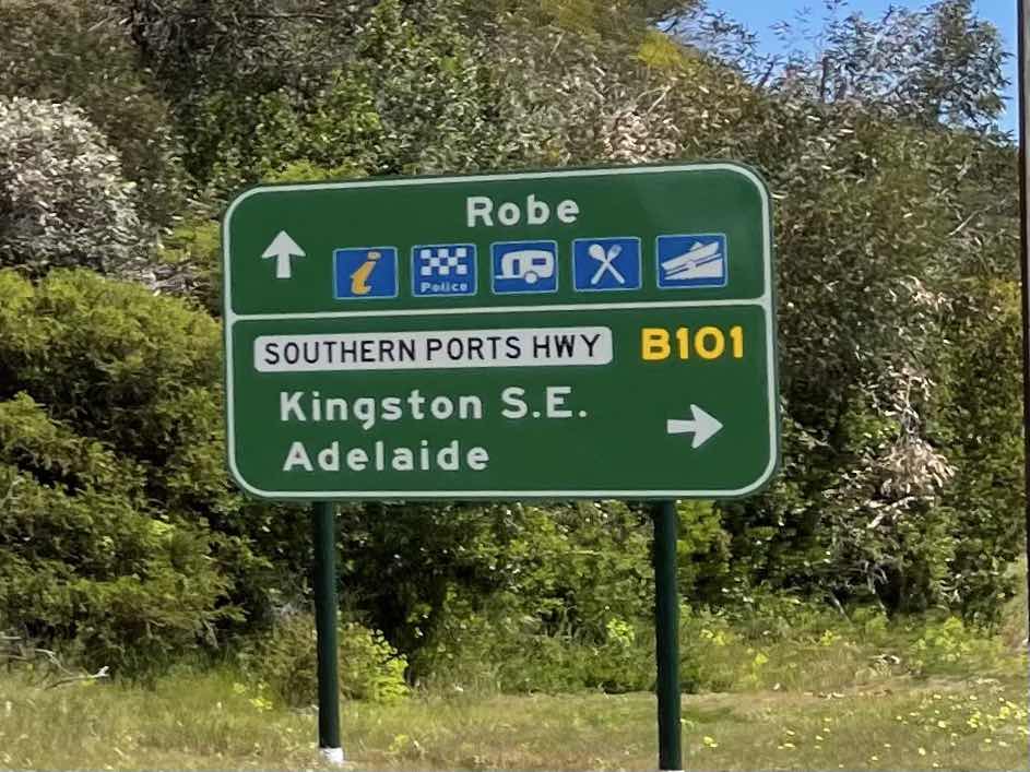
All this sounded very tempting but we also bypassed Robe


Continuing on to Kingston

Through Mount Benson

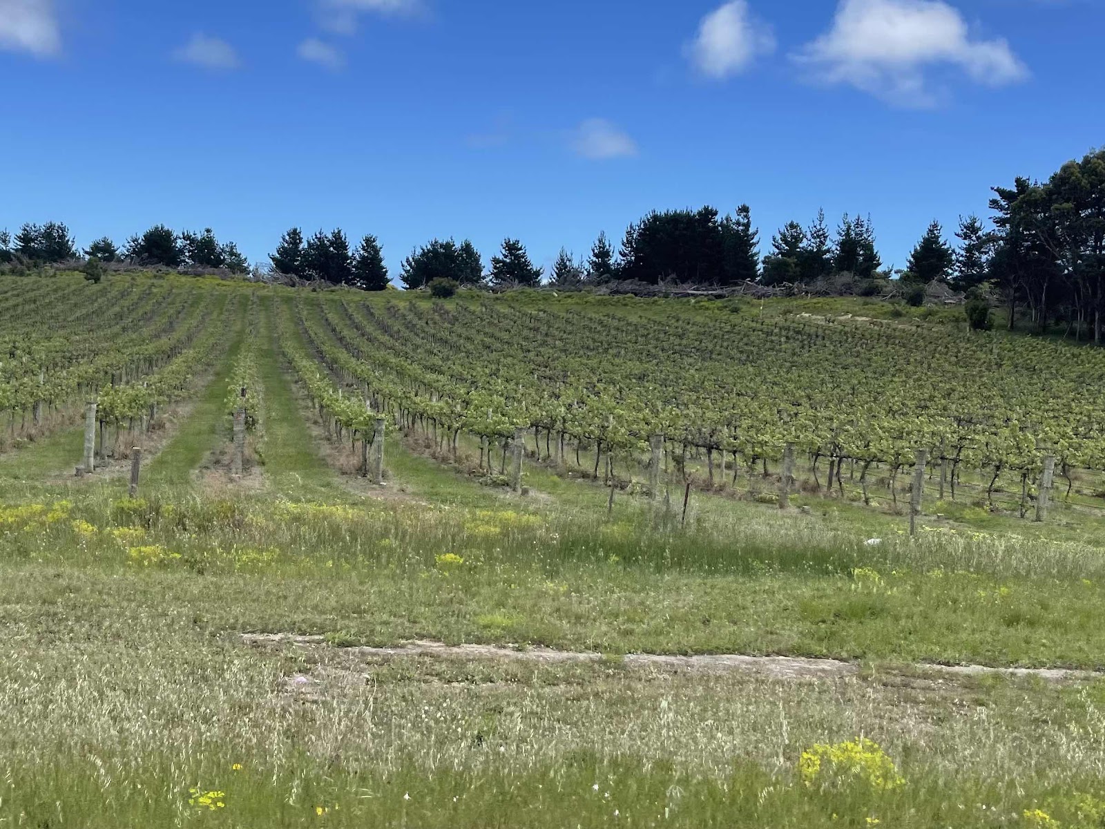
Past vineyards
Eventually reaching Kingston

Past pine forest some very newly planted

And some mature and some already felled

Had to stop and get a photo of this that I had seen as a point of interest on WikiCamps
Continuing on to Kingston
Through Mount Benson
Past vineyards
Eventually reaching Kingston
Past pine forest some very newly planted
And some mature and some already felled
Had to stop and get a photo of this that I had seen as a point of interest on WikiCamps
Someone with a good sense of humour making fun of the toilet paper issue with Covid

Wanted to see the Lighthouse at Cape Jaffa and we nearly turned down here but in fact the Lighthouse has been moved to Kingston

So further down the road we took the turn to the road along the beach front


We drove to the end to the jetty
Wanted to see the Lighthouse at Cape Jaffa and we nearly turned down here but in fact the Lighthouse has been moved to Kingston
So further down the road we took the turn to the road along the beach front
We drove to the end to the jetty
This mosaic was on the back of the toilet block

This mural was on the back of the noticeboard for the campsite

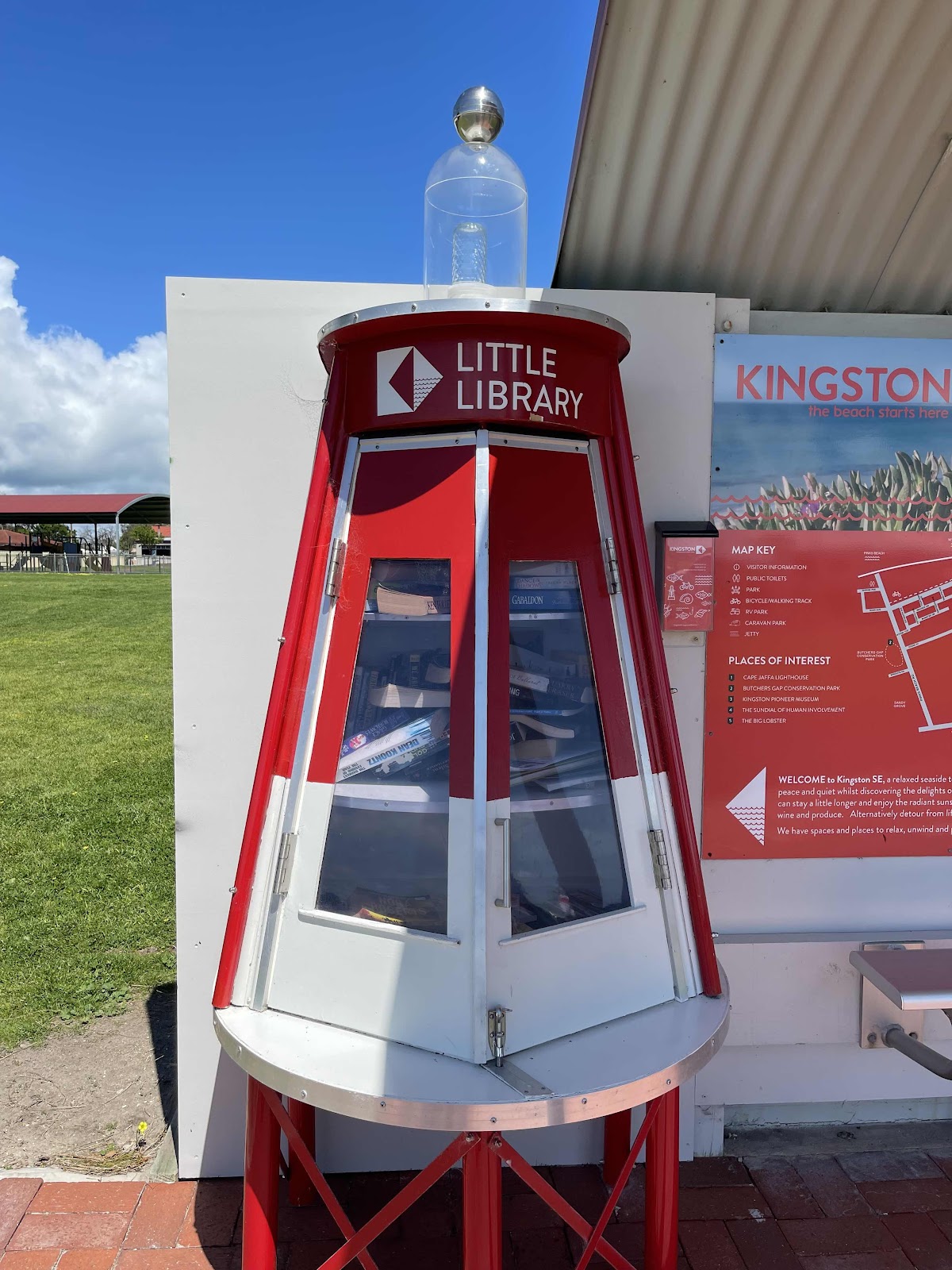
A novel and appropriate for this area Street library


We ordered fish and chips at the lobster shack and walked out along the jetty back along the beach whilst waiting for it


Delicious meal that we ate inside and we also bought some fish to take away with us in our freezer

Some historical facts about Kingston


Stopped at the historical Cape Jaffa Lighthouse


Interesting life boat here, nothing to do with the Cape Jaffa Lighthouse but nevertheless a tourist attraction with an interesting story


we were allowed up to the first level of the Lighthouse

But would have had to do a tour if we wanted to go further and because we were time poor we opted out of a tour


View of the Lighthouse round the back as we drove out of Kingston

Heading towards the Princes Highway out of Kingston

Past a little lake feature in the town

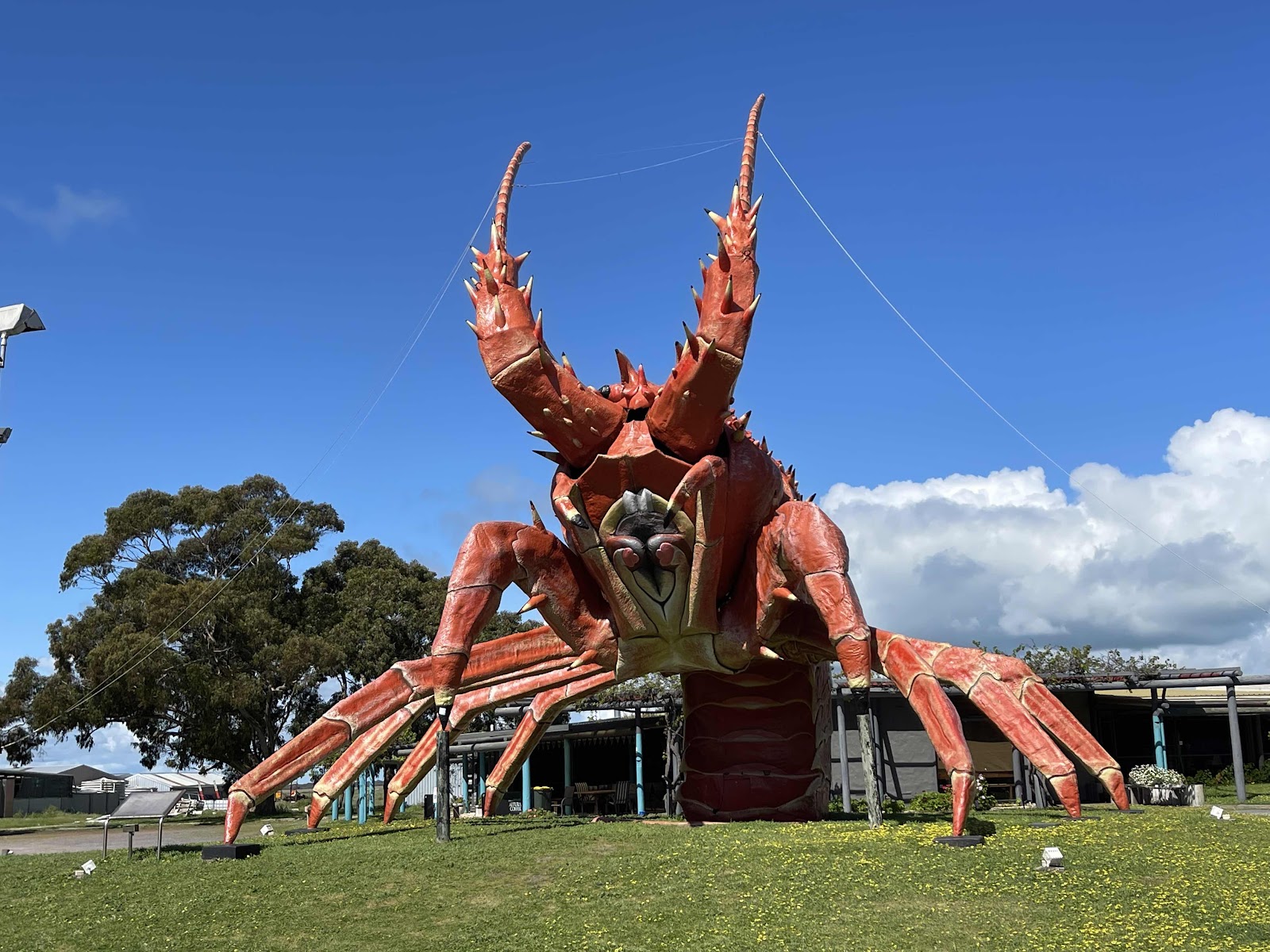
And past the big lobster
On to the Princes Highway now

And into the Coorong region


Passing turn off to some of the campgrounds that we had considered putting in at and camping for the night

Just as well we had altered that plan as the whole of the Coorong National Park was closed


We had considered calling in at Chinamans well but of course because it is part of the National Park it was closed


Plenty of views of the waterways of the Coorong along the way

This road was also closed as it goes through the National Park


Arrived at salt Creek with an intention to pause there


This place had a huge open sign on it but in fact it was very closed and has been closed for years


However a very enterprising person has opened up and is operating a coffee van so we stopped for a coffee and a munchie

Next to the coffee van was this old oil rig

With information boards telling its story


I had noticed on WikiCamps that there was a little nature walk here but needless to say it was closed too because it is part of the National Park


At this point on the journey we started to get lots of views of sections of the Coorong waterway


Heading towards Meningie
Meningie not too far away now
This mural was on the back of the noticeboard for the campsite
A novel and appropriate for this area Street library
We ordered fish and chips at the lobster shack and walked out along the jetty back along the beach whilst waiting for it
Delicious meal that we ate inside and we also bought some fish to take away with us in our freezer
Some historical facts about Kingston
Stopped at the historical Cape Jaffa Lighthouse
Interesting life boat here, nothing to do with the Cape Jaffa Lighthouse but nevertheless a tourist attraction with an interesting story
we were allowed up to the first level of the Lighthouse
But would have had to do a tour if we wanted to go further and because we were time poor we opted out of a tour
View of the Lighthouse round the back as we drove out of Kingston
Heading towards the Princes Highway out of Kingston
Past a little lake feature in the town
And past the big lobster
On to the Princes Highway now
And into the Coorong region
Passing turn off to some of the campgrounds that we had considered putting in at and camping for the night
Just as well we had altered that plan as the whole of the Coorong National Park was closed
We had considered calling in at Chinamans well but of course because it is part of the National Park it was closed
Plenty of views of the waterways of the Coorong along the way
This road was also closed as it goes through the National Park
Arrived at salt Creek with an intention to pause there
This place had a huge open sign on it but in fact it was very closed and has been closed for years
However a very enterprising person has opened up and is operating a coffee van so we stopped for a coffee and a munchie
Next to the coffee van was this old oil rig
With information boards telling its story
I had noticed on WikiCamps that there was a little nature walk here but needless to say it was closed too because it is part of the National Park
At this point on the journey we started to get lots of views of sections of the Coorong waterway
Heading towards Meningie
Meningie not too far away now
We had originally thought of travelling further but felt that we should possibly stop off in Meningie especially as we had been told by a couple of people about a caravan park there that we could stop at

I had wanted to stop at a place at the side of the road to at least get a decent view of the Coorong especially as the sun was shining across it

So we eventually found one where I could walk down to the waters edge


Noticed this lettering at the side of the pullin area, not sure what it represents


Another interesting place highlighted on WikiCamps that we were not going to stop at

We did stop here though another place mentioned on WikiCamps that is supposed to be a pink lake not very pink though

Approaching Meningie


We followed the caravan park signs


Eventually reaching the entrance to the lake Albert caravan park which is where we had finally decided to pull up for the night

Another piece of humour at the entrance to the park

Our HEMA Maps plotting of our journey of the day
I had wanted to stop at a place at the side of the road to at least get a decent view of the Coorong especially as the sun was shining across it
So we eventually found one where I could walk down to the waters edge
Noticed this lettering at the side of the pullin area, not sure what it represents
Another interesting place highlighted on WikiCamps that we were not going to stop at
We did stop here though another place mentioned on WikiCamps that is supposed to be a pink lake not very pink though
Approaching Meningie
We followed the caravan park signs
Eventually reaching the entrance to the lake Albert caravan park which is where we had finally decided to pull up for the night
Another piece of humour at the entrance to the park
Our HEMA Maps plotting of our journey of the day

We opted for an unpowered site which was the best choice as we had the whole area to ourselves down at the end of the caravan park right next to the lake


The camp kitchen that we didn’t use as we were quite far from it


Chasely rang us while we were sitting looking out at the lake

Enjoyed stunning sunsets over the lake to end the day


Comments
Post a Comment