Day 30 Our day on Kangaroo Island
Up early to catch the first ferry over to Kangaroo Island
It was still dark when we got up as we had to be at the ferry stop at 7 am
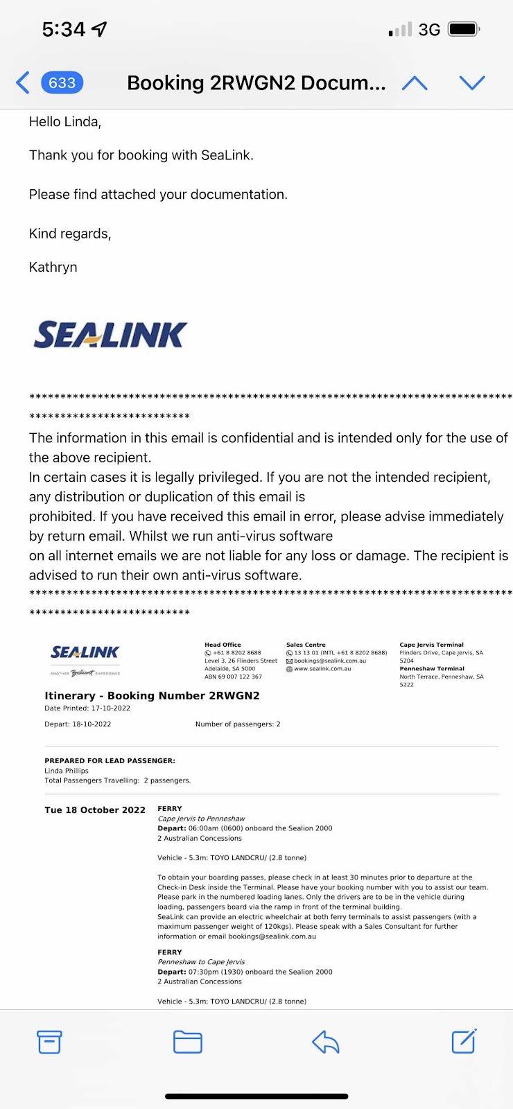
On the ferry and on the way by 7:30
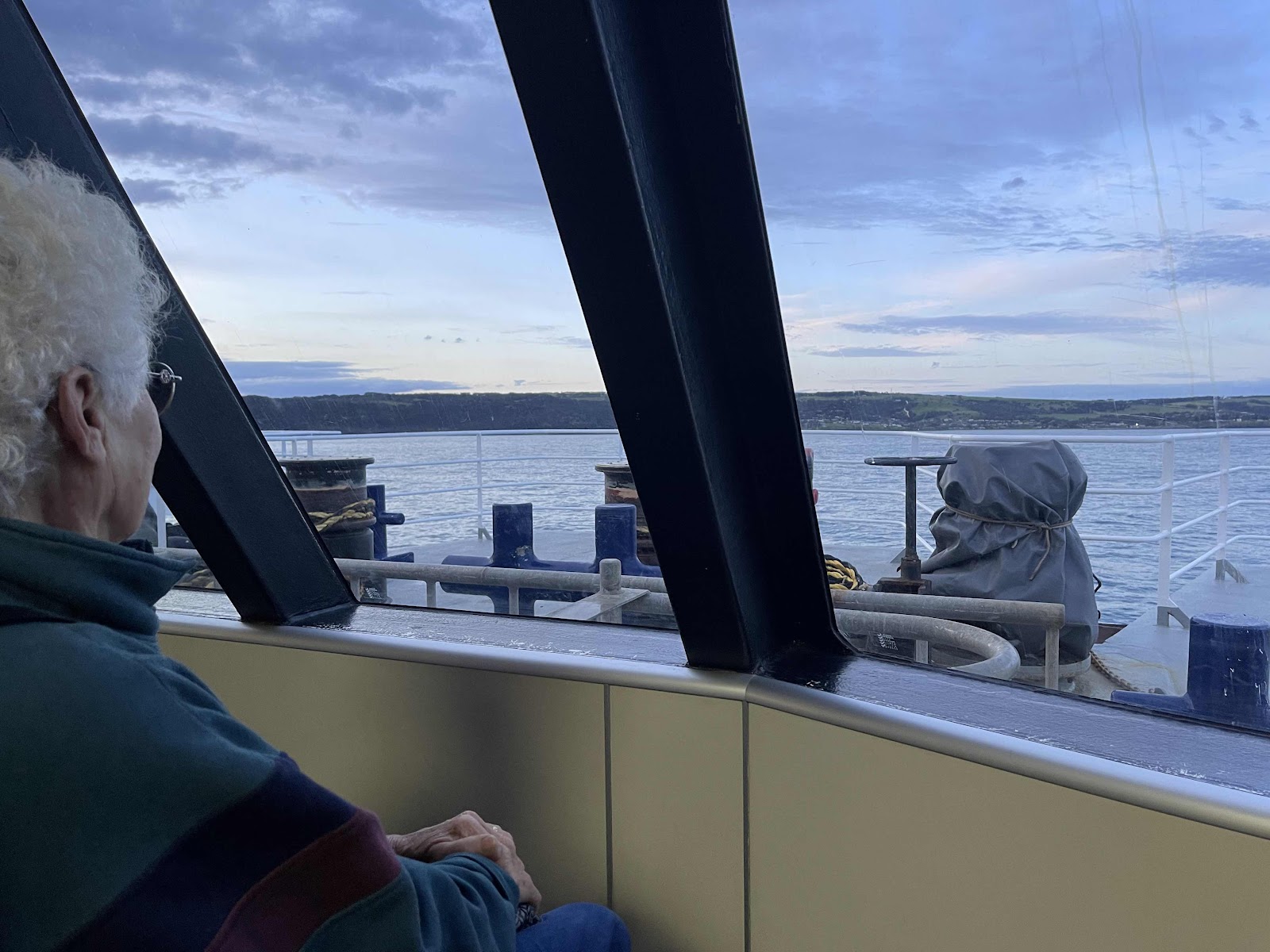
And what a beautiful sunrise during our 45 minute trip over there

Sat at the front to be able to see ahead
And what a beautiful sunrise during our 45 minute trip over there
Sat at the front to be able to see ahead
Only a few people on the ferry

We hadn’t had any coffee or breakfast before we left so we had coffee and cheese and ham croissants

Approaching Penneshaw


Where we pulled into for morning tea

Small town with very few people around


Stopped off at the cemetery on our way back out of Cape Borda


This was the road we were going to short cut across on

So we had to go around


Reached the entrance to the Flinders Chase National Park


Called in at the information centre and paid our entry fee to the National Park and was given a map with information about the places to go to and what to see


Had to get a photo of one of these yacca plants as I had read about them when we stopped at the bunker hill lookout


We turned into Weirs Cove first as the girl at the information centre recommended we went there for our picnic lunch as it had fantastic views


Interesting history about the jetty at the bottom of this cliff


Interesting history about the area on this information board


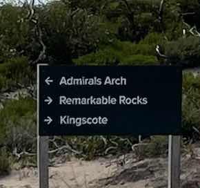
Next we headed for the Cape du Couedic Lighthouse


Then we headed down towards Admirals Arch


We had no idea what to expect so were very impressed with this boardwalk

With amazing views down to the rocks where there were seals


The boardwalk just kept going around and down


Until we reached what we then discovered was the Admirals Arch


On our way back from the Admirals Arch we checked out the lighthouse


Before leaving this area we went on the heritage walk


Next we drove over to the Remarkable Rocks, there again not knowing what to expect


Pleasantly surprised to find that we could actually walk off the end of the boardwalk and onto the rocks

So we spent quite some time walking over and exploring them


But then we realised we had better head back across the island to make sure we reached Penneshaw to catch the ferry in time

 Bill spotted these geese on our way past the information centre


On the way back we passed many signs to areas that we were not going to be able to visit


The construction here is for a desalination plant

Back to Penneshaw in time

As the ferry was just pulling in from its trip across from Cape Jervis


Had seats on the ferry at the front again spotted these wind turbines on the hills just above where we are camping


Another beautiful sunset as we were arriving at Cape Jervis


Our Hema maps record of our days travels on Kangaroo Island

The map that we had been given at the Information Centre highlighting the places of interest

We hadn’t had any coffee or breakfast before we left so we had coffee and cheese and ham croissants
Approaching Penneshaw
We didn’t stop to look at any attractions in Penneshaw as we had limited time and we had an idea of where we wanted to go and what we wanted to see


Our plan was to drive across to one side of the island basically through the middle and then return via the south hence doing a loop and not retracing our steps
Our plan was to drive across to one side of the island basically through the middle and then return via the south hence doing a loop and not retracing our steps
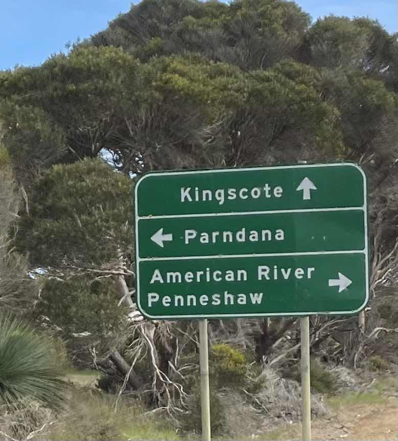
So we headed off in the direction of Kingscote


Information centre wasn’t open yet but fortunately we did have a map


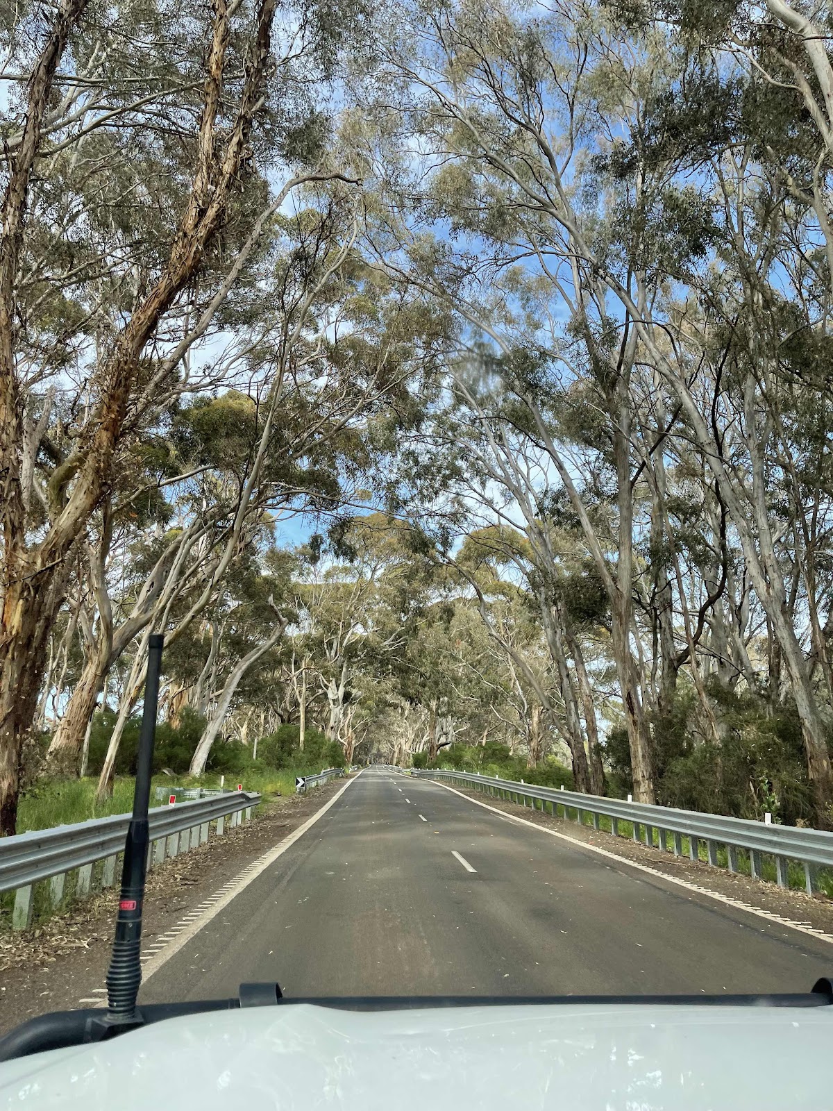
Enjoying the scenery on the way


Noticed steps going up the side of the hill ahead


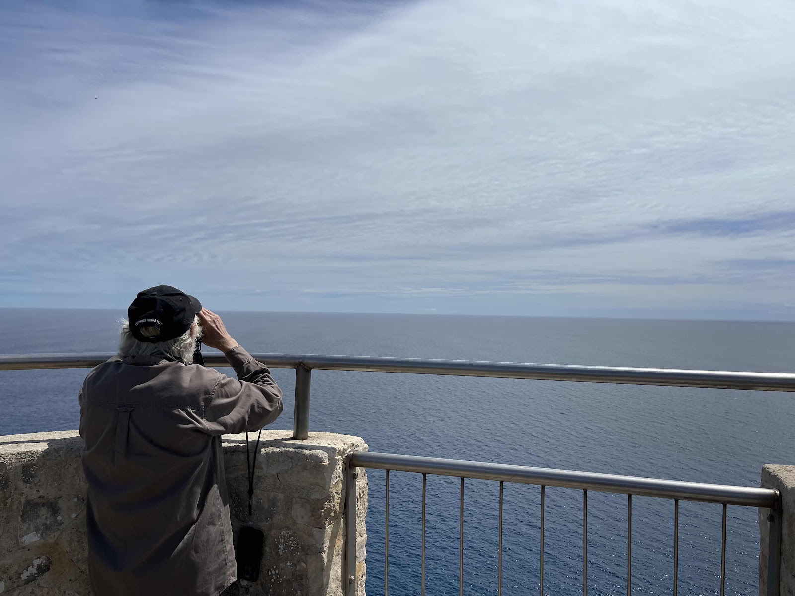
Stopped off at a viewing platform first


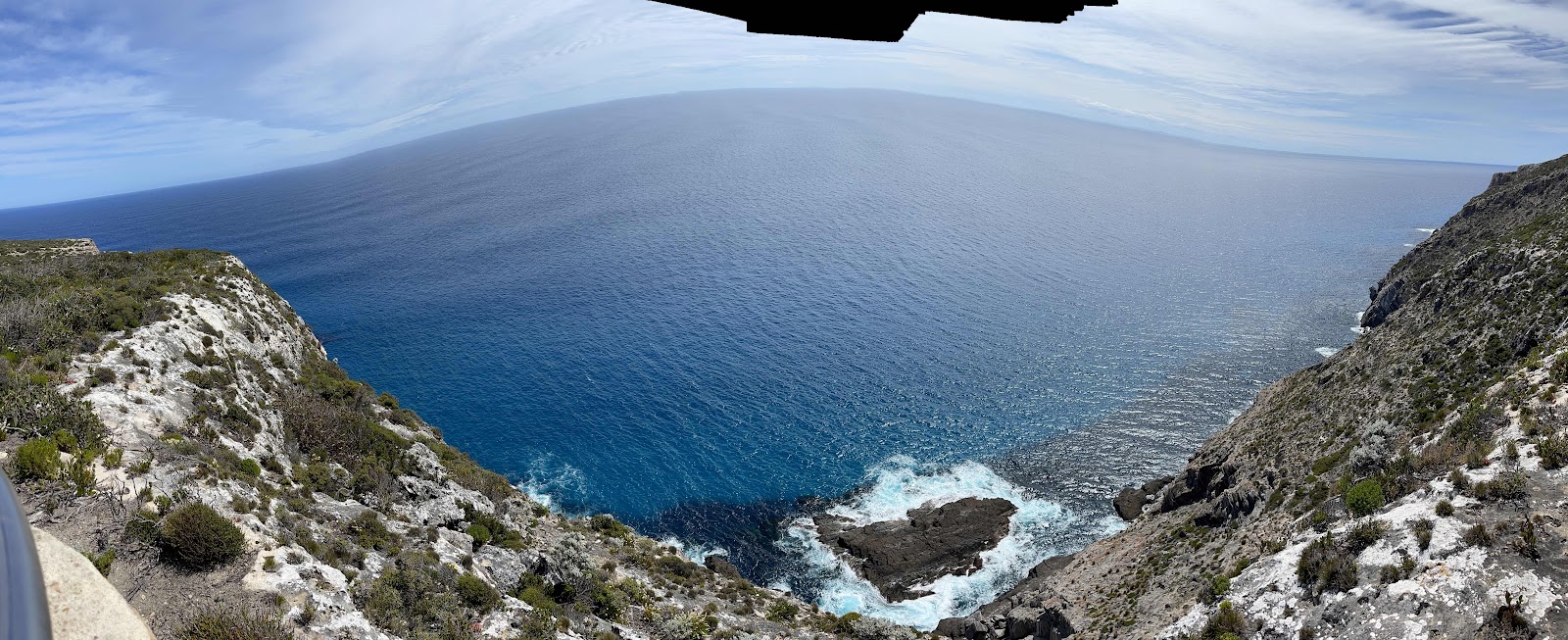
With our first views of the coastline


Next stop was prospect Hill


Where we tackled the climb up the many steps


Amazing views from the top of prospect Hill

The car is just a tiny spec below we are so high up


On the way down we counted the steps


403 altogether

Continuing on the road to Kingscote passing signs for attractions at other places


We did stop at this junction


Roadworks occurring

Took photos of the scenery

And of road junctions to keep track of where we went


And also signs of places we weren’t going to go to


Turned off to Kingscote via Burdon Drive

So that we could go along the waterfront


Passed this interesting sculpture on a corner


Arrived at Kev’s sister Kay‘s house and rang her from outside as we had rung her the day before to tell her that we had not been able to get to camp on Kangaroo Island and that we were only going to spend a day so she was not expecting us to visit

She was at home with her dog Luna that her grandchildren had bought her


Sent a picture of the spot message to Kev and Paula so that they would see that we were at Kay’s house


Didn’t stay long at Kay‘s house


Refuelled in Kingscote
Information centre wasn’t open yet but fortunately we did have a map
Enjoying the scenery on the way
Noticed steps going up the side of the hill ahead
Stopped off at a viewing platform first
With our first views of the coastline
Next stop was prospect Hill
Where we tackled the climb up the many steps
Amazing views from the top of prospect Hill
The car is just a tiny spec below we are so high up
On the way down we counted the steps
403 altogether
Continuing on the road to Kingscote passing signs for attractions at other places
We did stop at this junction
Roadworks occurring
Took photos of the scenery
And of road junctions to keep track of where we went
And also signs of places we weren’t going to go to
Turned off to Kingscote via Burdon Drive
So that we could go along the waterfront
Passed this interesting sculpture on a corner
Arrived at Kev’s sister Kay‘s house and rang her from outside as we had rung her the day before to tell her that we had not been able to get to camp on Kangaroo Island and that we were only going to spend a day so she was not expecting us to visit
She was at home with her dog Luna that her grandchildren had bought her
Sent a picture of the spot message to Kev and Paula so that they would see that we were at Kay’s house
Didn’t stay long at Kay‘s house
Refuelled in Kingscote
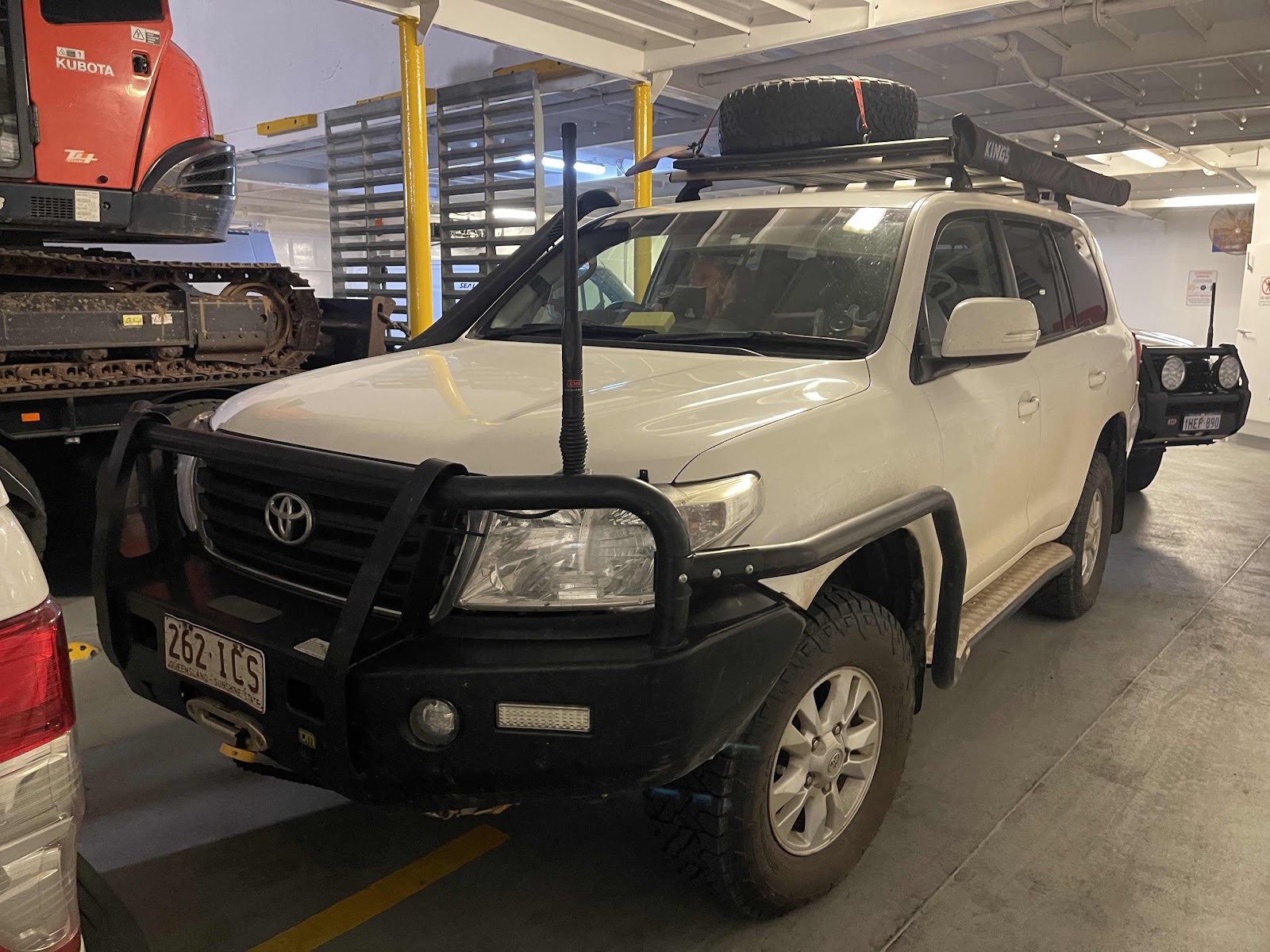
Took this photo of the back of the car to show that Bill had washed all the mud and dirt off in case the car was rejected from going on the ferry for carrying mud on it

Had to get photos of the island beehive for Corina Bronwyn


The signage of the road that we took


They are even growing canola on Kangaroo Island


We have been going this route for quite a few days now. I hadn’t realised that the Southern Ocean Drive continued on around Kangaroo Island

Signs of the bushfires of 2020


A very pretty sign for the town of Parndana
Had to get photos of the island beehive for Corina Bronwyn
The signage of the road that we took
They are even growing canola on Kangaroo Island
We have been going this route for quite a few days now. I hadn’t realised that the Southern Ocean Drive continued on around Kangaroo Island
Signs of the bushfires of 2020
A very pretty sign for the town of Parndana
Where we pulled into for morning tea
Small town with very few people around
We were the only ones in the cafe
They had this interesting map of where the fires had been on the island


Spotted this on our way out of Pandarna

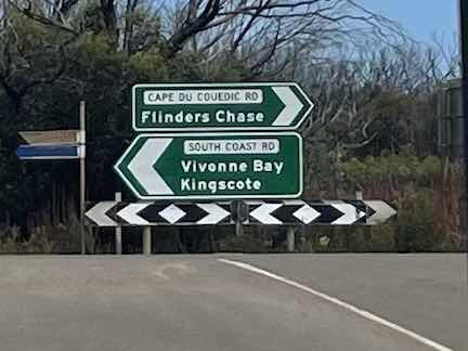
One of the places that we didn’t call into


Carrying on to the other side of the island to Cape Borda
Spotted this on our way out of Pandarna
One of the places that we didn’t call into
Carrying on to the other side of the island to Cape Borda
Road was a gravel one but a good one


Took quite a few photos of all the dead trees in the plantations from the bushfires


Spotted these wedge tail eagles


On passing this sign we discovered that shackle Road was closed and this was the road that we were going to short cut across to Flinders Chase along


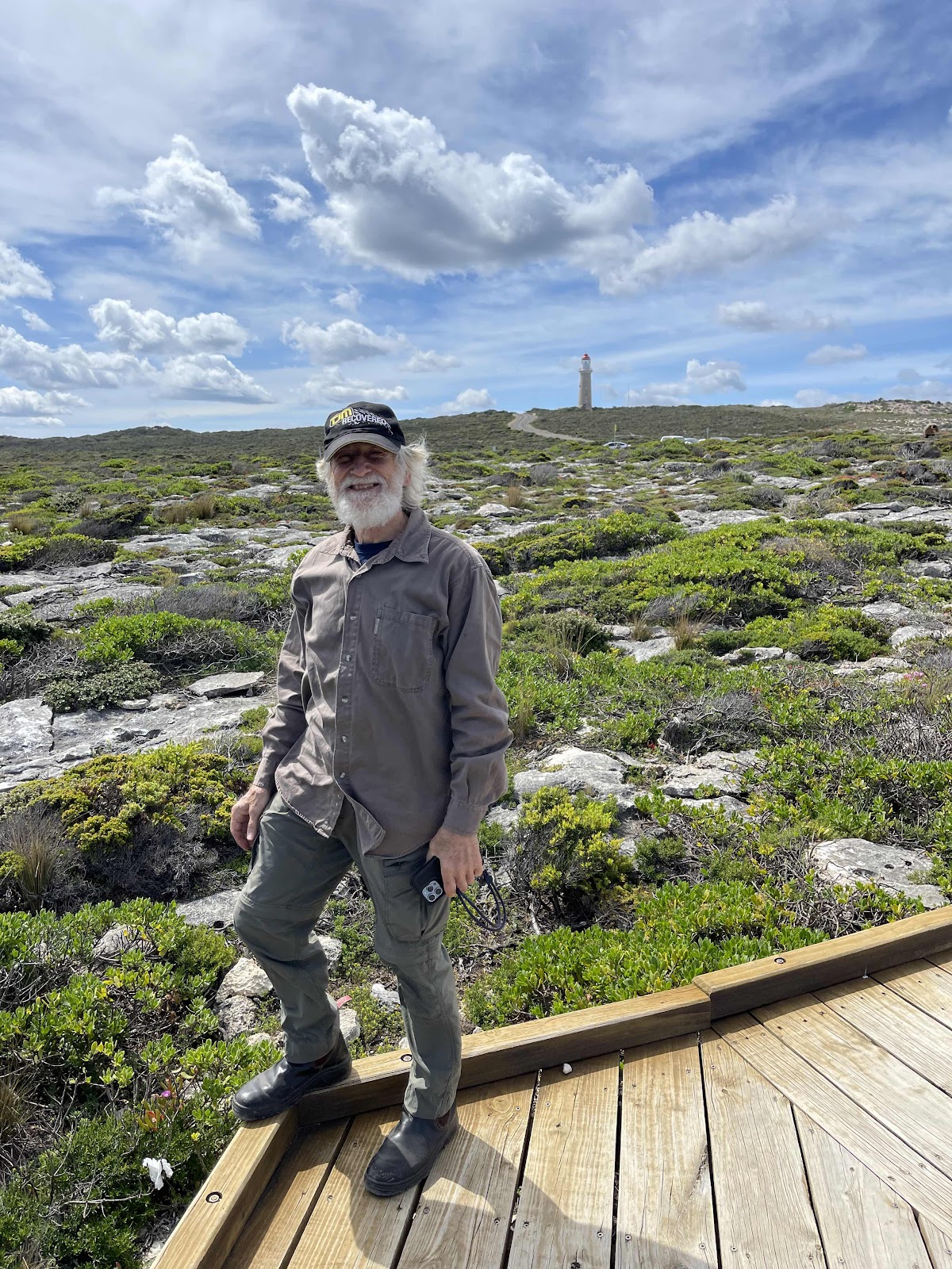
Arrived at the Cape Borda Lightstation and looked around the area here


And then then went on the clifftop hike to the lookout above Scott Cove


Spotted a sea eagle whilst on the hike


Bill’s sense of humour 😜


This was where we were…


I traced our time at Cape Borda with AllTrails
Took quite a few photos of all the dead trees in the plantations from the bushfires
Spotted these wedge tail eagles
On passing this sign we discovered that shackle Road was closed and this was the road that we were going to short cut across to Flinders Chase along
Arrived at the Cape Borda Lightstation and looked around the area here
And then then went on the clifftop hike to the lookout above Scott Cove
Spotted a sea eagle whilst on the hike
Bill’s sense of humour 😜
This was where we were…
I traced our time at Cape Borda with AllTrails
Stopped off at the cemetery on our way back out of Cape Borda
This was the road we were going to short cut across on
So we had to go around
Reached the entrance to the Flinders Chase National Park
Called in at the information centre and paid our entry fee to the National Park and was given a map with information about the places to go to and what to see
Had to get a photo of one of these yacca plants as I had read about them when we stopped at the bunker hill lookout
We turned into Weirs Cove first as the girl at the information centre recommended we went there for our picnic lunch as it had fantastic views
Interesting history about the jetty at the bottom of this cliff
Interesting history about the area on this information board
Next we headed for the Cape du Couedic Lighthouse
Then we headed down towards Admirals Arch
We had no idea what to expect so were very impressed with this boardwalk
With amazing views down to the rocks where there were seals
The boardwalk just kept going around and down
Until we reached what we then discovered was the Admirals Arch
On our way back from the Admirals Arch we checked out the lighthouse
Before leaving this area we went on the heritage walk
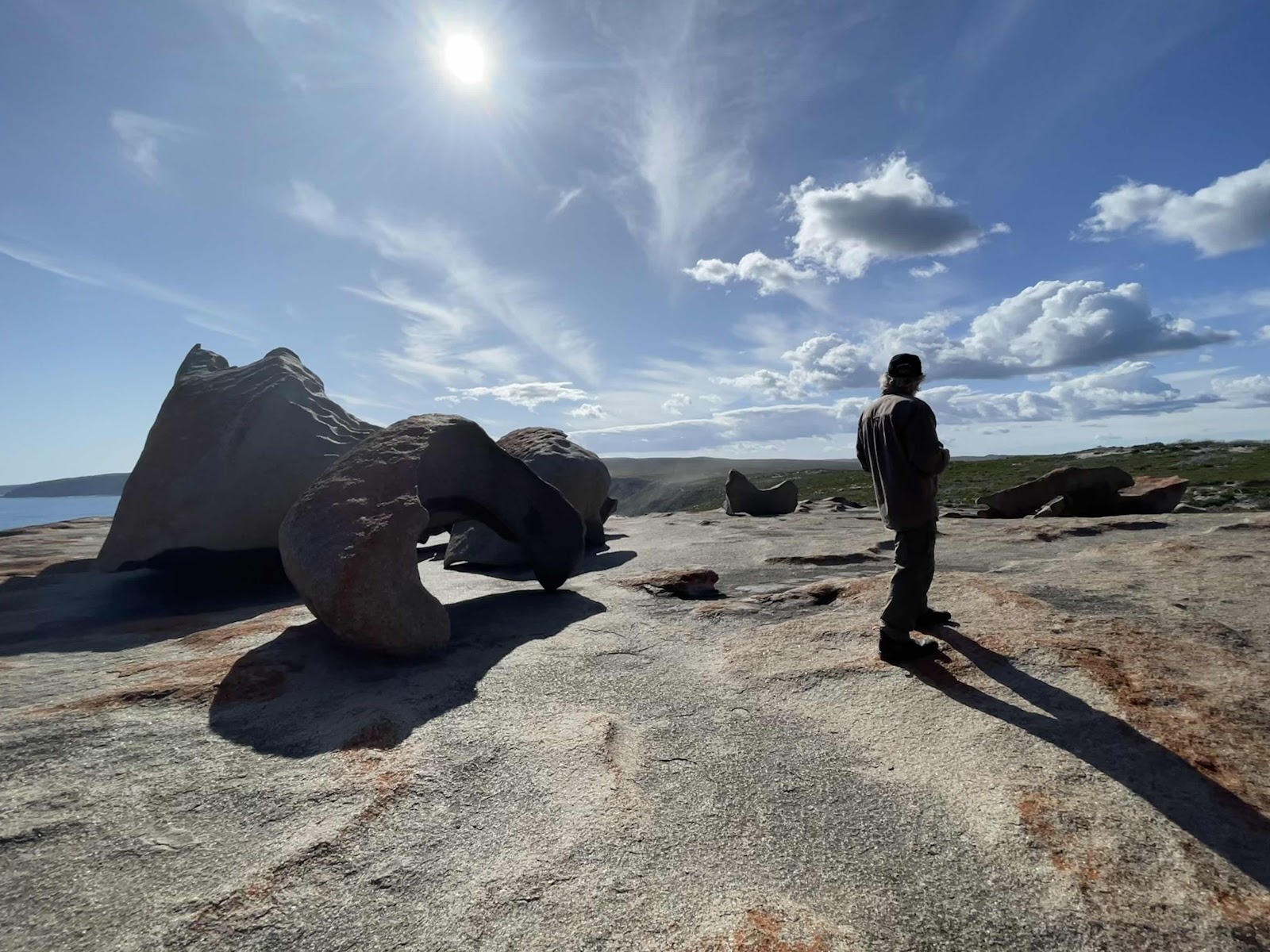
Next we drove over to the Remarkable Rocks, there again not knowing what to expect
Pleasantly surprised to find that we could actually walk off the end of the boardwalk and onto the rocks
So we spent quite some time walking over and exploring them
My AllTrails tracking map shows we did quite a bit of wandering around the rocks
But then we realised we had better head back across the island to make sure we reached Penneshaw to catch the ferry in time
Bill spotted these geese on our way past the information centreOn the way back we passed many signs to areas that we were not going to be able to visit
The construction here is for a desalination plant
Back to Penneshaw in time
As the ferry was just pulling in from its trip across from Cape Jervis
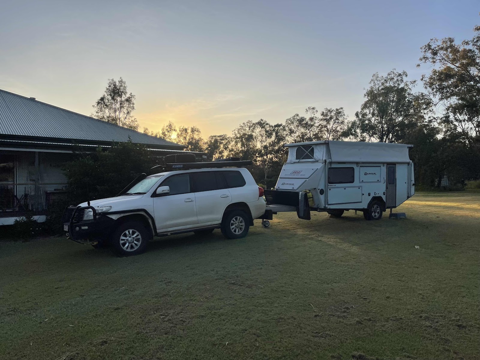
Had seats on the ferry at the front again spotted these wind turbines on the hills just above where we are camping
Another beautiful sunset as we were arriving at Cape Jervis
Our Hema maps record of our days travels on Kangaroo Island
The map that we had been given at the Information Centre highlighting the places of interest

Comments
Post a Comment