Day 35 Mt Remarkable to Eyre Peninsula
Heavy rain during the night but fortunately it had slowed to a bit of a drizzle by morning
We had set up in a spot where water was going to go through and lie round but it was not a huge problem

We decided to have a morning walk before heading out of the park and we chose to do the Daveys Gully loop walk

That started from the day visitors area just along from our camp spot


A very pleasant walk and a nice surprise as to the course it took as we had not managed to find any information about it other than that it was a loop walk


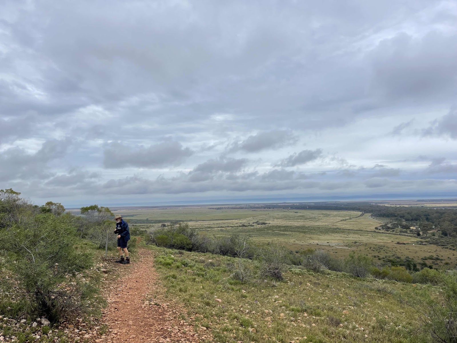
It was a very interesting walk as it went through different terrains, up and down and up high with great views

Through lush growth

Over some boardwalks


Over rocky edges


With the path almost doubling back on its self across a valley as can be seen by each of us standing on the path over the other side


There were markers at some places along the way denoting how far along the walk we had come

And views across the valley to the cliff face that is above the campground

As the track turned towards the coastline we were rewarded with views of the ocean


Animal scats on the track


Spotted roos and wallabies along the way


Not sure what this is that we came across but it looks like the cover is over some sort of shaft


As we came down the hill we could see the campground

And we could see our car and van in amongst the trees


The walk ended at one end of the day visitors car park with absolutely no sign indicating that this was the Daveys Gully track

My AllTrails tracking showed where the walk went


Soon we reached Port Augusta as Sundrop Farms were just on the outskirts

The approaches to Port Augusta have water either side of the roadway


We turned into the city centre to go to the outback Centre

Where we had morning tea

Where they had a rail trolley with information about the Ghan on it


Beautiful mosaic work on the wall on the road side that I spotted as we left the city


Crossing the bridge over bird lake

Hard to get Photos now as it was raining

These were interesting signs as they show how pivotal the roads are through Port Augusta from one side of Australia to another

We took the turn onto the Eyre Highway

Where I got excited about seeing the place name on the road sign of the destination of our journey

Because the weather didn’t look too good and was a bit threatening I looked on BOM to check

I also looked up to check how our hometown Brisbane was faring with the weather

The countryside on the way to Whyalla

Good straight highway
Earlier in the day I had looked up options of where we might stay tonight and this Lions run campsite looked like a good option so we drove into it and around and chose somewhere where we could leave the car hooked up so that we could easily drive off in the morning

Very cold and very windy but an okay site good hard gravel and level and away from others

We ended up leaving the awning rolled up so that it wasn’t flapping in the wind and we ended up staying inside the van and having our dinner inside the van where it was cosy and warm
We decided to have a morning walk before heading out of the park and we chose to do the Daveys Gully loop walk
That started from the day visitors area just along from our camp spot
A very pleasant walk and a nice surprise as to the course it took as we had not managed to find any information about it other than that it was a loop walk
It was a very interesting walk as it went through different terrains, up and down and up high with great views
Through lush growth
Over some boardwalks
Over rocky edges
With the path almost doubling back on its self across a valley as can be seen by each of us standing on the path over the other side
There were markers at some places along the way denoting how far along the walk we had come
And views across the valley to the cliff face that is above the campground
As the track turned towards the coastline we were rewarded with views of the ocean
Animal scats on the track
Spotted roos and wallabies along the way
Not sure what this is that we came across but it looks like the cover is over some sort of shaft
As we came down the hill we could see the campground
And we could see our car and van in amongst the trees
The walk ended at one end of the day visitors car park with absolutely no sign indicating that this was the Daveys Gully track
My AllTrails tracking showed where the walk went
We had packed up mostly everything before we left to go on our walk so we basically just needed to take down the pop top and head off to our next destination
Driving out we noticed these ruins of the Bootoota Homestead

Said goodbye to the remarkable Mount Remarkable National Park

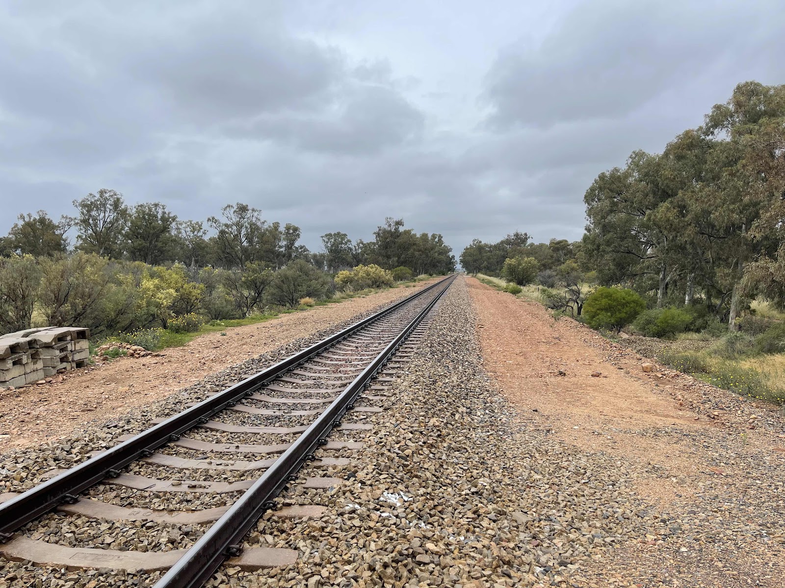
On the highway and again crossing the rail line, apparently Crystal Brook where we were yesterday has more trains passing through it than any other town in the southern hemisphere


Came across another area with lots of wind turbines on the way to Port Augusta


We also passed Sundrop Farms.
Said goodbye to the remarkable Mount Remarkable National Park
On the highway and again crossing the rail line, apparently Crystal Brook where we were yesterday has more trains passing through it than any other town in the southern hemisphere
Came across another area with lots of wind turbines on the way to Port Augusta
We also passed Sundrop Farms.
Searching on the Internet provided an explanation of their activities and processes….
This explains the presence of the huge array of solar panels a vast expense of greenhouses and the huge tower…
Soon we reached Port Augusta as Sundrop Farms were just on the outskirts
The approaches to Port Augusta have water either side of the roadway
We turned into the city centre to go to the outback Centre
Where we had morning tea
Where they had a rail trolley with information about the Ghan on it
Beautiful mosaic work on the wall on the road side that I spotted as we left the city
Crossing the bridge over bird lake
Hard to get Photos now as it was raining
These were interesting signs as they show how pivotal the roads are through Port Augusta from one side of Australia to another
We took the turn onto the Eyre Highway
Where I got excited about seeing the place name on the road sign of the destination of our journey
Because the weather didn’t look too good and was a bit threatening I looked on BOM to check
I also looked up to check how our hometown Brisbane was faring with the weather
The countryside on the way to Whyalla
Good straight highway
Interesting overtaking option here - the middle lane with a line down the centre can be used by cars coming in either direction as long as there is no car in sight coming from the opposite direction

Over the busy rail line


This is where the highways separated we are going to Ceduna via the coast along the Lincoln Highway


Heading to Whyalla first


getting closer


Starting to see some of the industrial part of Whyalla


Stopped off to look at the HMAS Whyalla and read about it


Drove up to Hammock Hill Lookout


Obviously another tourist spot
Over the busy rail line
This is where the highways separated we are going to Ceduna via the coast along the Lincoln Highway
Heading to Whyalla first
getting closer
Starting to see some of the industrial part of Whyalla
Stopped off to look at the HMAS Whyalla and read about it
Drove up to Hammock Hill Lookout
Obviously another tourist spot
I did not look happy here I was freezing, the wind that was blowing was very cold

However I did manage to crack a smile
 Bill‘s turn


We drove out of town past these attractions

Our next destination Cowell


Sights along the way


Then we reached the little town of Cowell


First thing we saw was these magnificently painted silos which of course we had to go and look at

Interesting story behind the pictures that had been painted on the silo and about the person depicted

We had forgotten to find a service station in Whyalla and refuel and so went for the cheapest one in Cowell which happened to be a self service one

Took us a while to work out what we had to do because it had been awhile since we had used one of these
However I did manage to crack a smile
Bill‘s turnWe drove out of town past these attractions
Our next destination Cowell
Sights along the way
Then we reached the little town of Cowell
First thing we saw was these magnificently painted silos which of course we had to go and look at
Interesting story behind the pictures that had been painted on the silo and about the person depicted
We had forgotten to find a service station in Whyalla and refuel and so went for the cheapest one in Cowell which happened to be a self service one
Took us a while to work out what we had to do because it had been awhile since we had used one of these
Another couple came along and tried to use the machine when we were in the middle of using it, they had problems which caused us problems because it meant we couldn’t get the receipt so we took this photo of the usage but then eventually we managed to get a receipt. We have been recording the mileage on the receipt to work out how much fuel we have been using

Drove around the block to get a picture of these gorgeous sculptures of sea life which this area is well known for

This is our HEMA maps depiction of where we drove today
Drove around the block to get a picture of these gorgeous sculptures of sea life which this area is well known for
This is our HEMA maps depiction of where we drove today
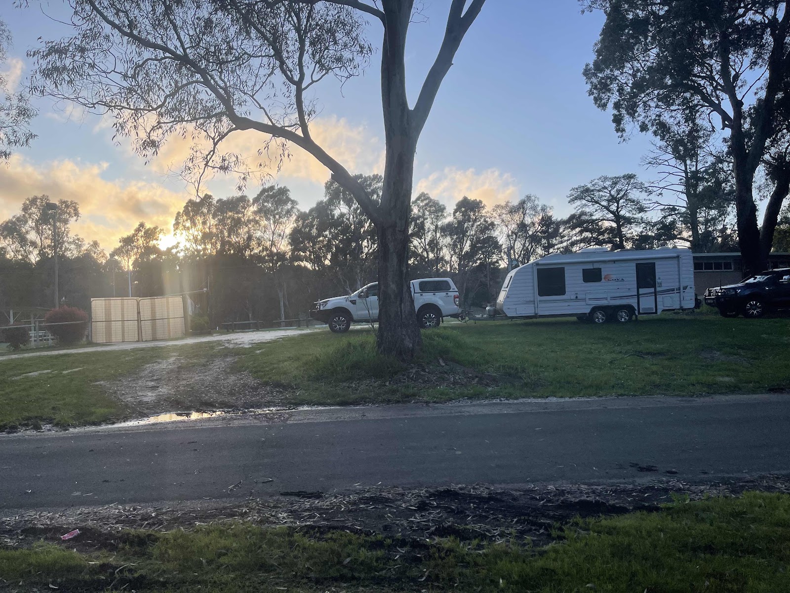
Earlier in the day I had looked up options of where we might stay tonight and this Lions run campsite looked like a good option so we drove into it and around and chose somewhere where we could leave the car hooked up so that we could easily drive off in the morning
Very cold and very windy but an okay site good hard gravel and level and away from others
We ended up leaving the awning rolled up so that it wasn’t flapping in the wind and we ended up staying inside the van and having our dinner inside the van where it was cosy and warm

Comments
Post a Comment