Day 36 Cowell to Port Lincoln
Cold wet miserable morning
We headed back into the town to use the amenities there
 Came across this lovely new playground that is almost nearing completion
 there were two workmen there that I chatted to who told me they could turn on the water slide if I would like ha ha hah they obviously said it as a joke as they said the weather at the moment was definitely unusually cold and wet for this time of the year

We drove down to the waterfront where there was also a new building that looks like it was going to be a cafe


There were a couple of tractors down at the boat ramp bringing in fishing boats

Looks like they were bringing in their oyster catch haul


We noticed this sign and in fact we did part of this drive later

We checked out this shelter
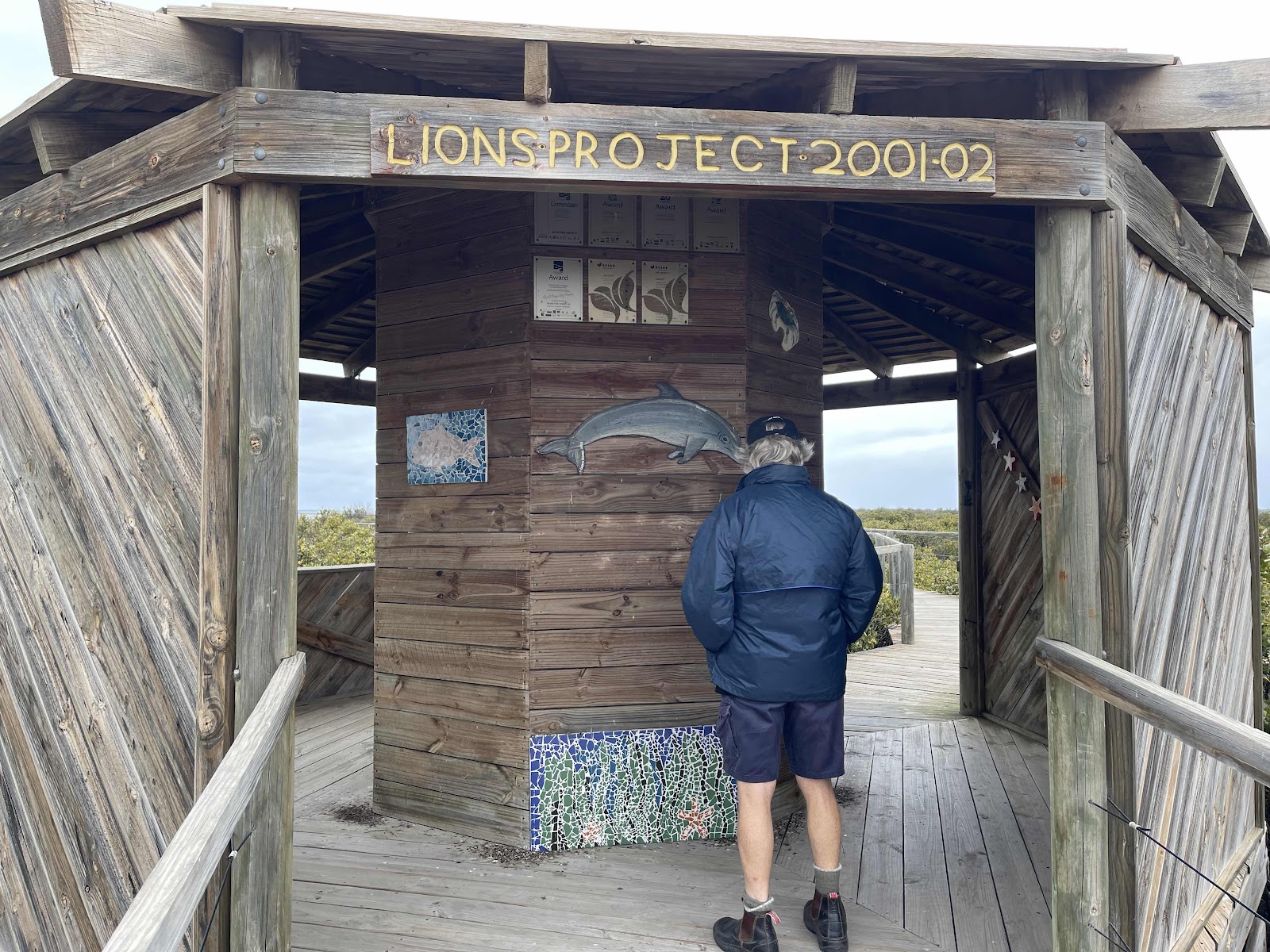
That had some information on signboards in it with some mosaics


We walked out on the boardwalk that started at that little shelter

The lookout at the end of the boardwalk had some good views out from it


After that we headed back out onto the road heading south towards Port Lincoln

Noticed some fresh tree plantings on the side of the road as the landscape did look quite sparse

Spotted a kite flying overhead

We could see out to the ocean from this scenic drive

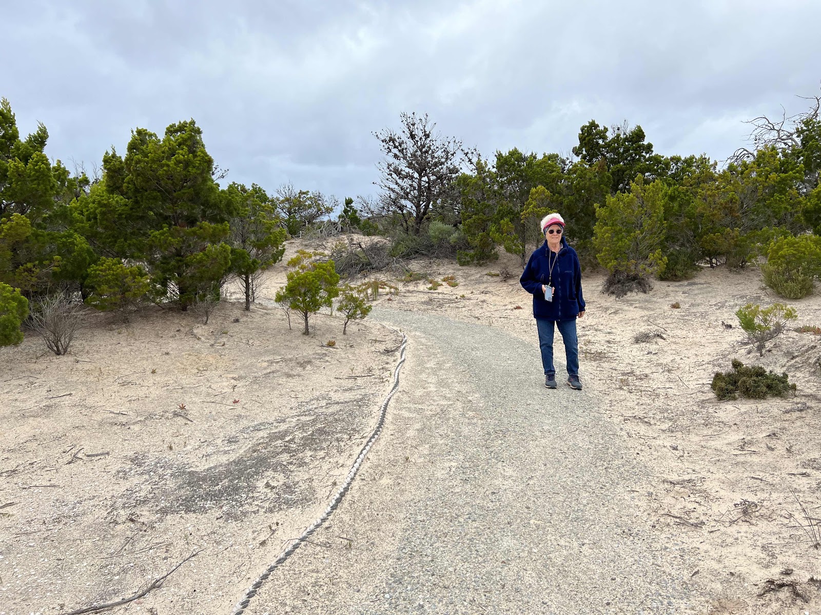
Having chosen to drive along the scenic drive the road ended up as gravel


We could see some campers set up along the cliff top

This was one of the turn offs to the clifftop campsites

We reached the tiny town of Port Gibbon

But did not stop there

We continued on the scenic drive and stopped next to the track to the look out

Great views from there too but would have been nice if the sun had been shining


Bit of information at the lookout


Continuing on the tourist Drive


We ended up back on the Lincoln highway again


Approaching Arno Bay we decided to pull in there


And head for the boardwalk


There were two walks that we could go on


We chose to go on the mangrove Trail walk first


There was a shelter partway along with lots of information


The boardwalk took us along a heathland with lots of flowering shrubs


and mangroves


And this expanded bit around town shows our sightseeing driving
As well as welcoming us and giving us information about the area, Lyn had presented us with this cookie pack with some biscuits and some chocolate that we enjoyed when we got back to our van that evening


There were a couple of tractors down at the boat ramp bringing in fishing boats
Looks like they were bringing in their oyster catch haul
We noticed this sign and in fact we did part of this drive later
We checked out this shelter
That had some information on signboards in it with some mosaics
We walked out on the boardwalk that started at that little shelter
The lookout at the end of the boardwalk had some good views out from it
After that we headed back out onto the road heading south towards Port Lincoln
Noticed some fresh tree plantings on the side of the road as the landscape did look quite sparse
Spotted a kite flying overhead
We could see out to the ocean from this scenic drive
Having chosen to drive along the scenic drive the road ended up as gravel
We could see some campers set up along the cliff top
This was one of the turn offs to the clifftop campsites
We reached the tiny town of Port Gibbon
But did not stop there
We continued on the scenic drive and stopped next to the track to the look out
Great views from there too but would have been nice if the sun had been shining
Bit of information at the lookout
Continuing on the tourist Drive
We ended up back on the Lincoln highway again
Approaching Arno Bay we decided to pull in there
And head for the boardwalk
There were two walks that we could go on
We chose to go on the mangrove Trail walk first
There was a shelter partway along with lots of information
The boardwalk took us along a heathland with lots of flowering shrubs
and mangroves
We reached a section where there was an additional loop on the trail to a wet well

This section had some Pine trees hence the name on the seat


It also had some thick rope around the edges of the path


We reached the historic site but could not see any evidence of a well soak


Managed to find a section beside the path where there were both types of pig face growing as per the signs


Bill found this memorial plaque


Unfortunately we reached a section of the boardwalk that was under repair so we had to turn around and go back the way we came as my map of the walk shows


Managed to catch a photo of the green back crabs before they disappeared into their holes


This was the sign at the other end of the closed section

Having got back to the car park we decided to head out on the boardwalk the other direction to the mouth of the creek
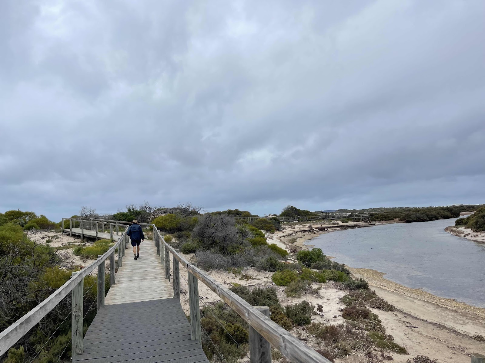


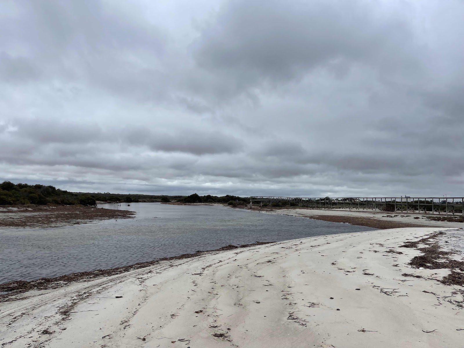
Where there was a look out at the end and we could walk down onto the beach


This is my all trails tracking of the walks in both directions

It was definitely morning tea/lunch time so we decided to head off to the Arno Bay cafe using WikiCamps for directions

However unfortunately it was not open and there was no other cafe in town

So we went back out onto the highway heading south


We bypassed Port Neill


and we bypassed Lipson Cove


And headed for Tumby Bay


The first thing we did was try to find somewhere to park with the van and then we headed off to the only place that we could see open which was the bakery where we ended up having some lunch and a drink
This section had some Pine trees hence the name on the seat
It also had some thick rope around the edges of the path
We reached the historic site but could not see any evidence of a well soak
Managed to find a section beside the path where there were both types of pig face growing as per the signs
Bill found this memorial plaque
Unfortunately we reached a section of the boardwalk that was under repair so we had to turn around and go back the way we came as my map of the walk shows
Managed to catch a photo of the green back crabs before they disappeared into their holes
This was the sign at the other end of the closed section
Having got back to the car park we decided to head out on the boardwalk the other direction to the mouth of the creek
Where there was a look out at the end and we could walk down onto the beach
This is my all trails tracking of the walks in both directions
It was definitely morning tea/lunch time so we decided to head off to the Arno Bay cafe using WikiCamps for directions
However unfortunately it was not open and there was no other cafe in town
So we went back out onto the highway heading south
We bypassed Port Neill
and we bypassed Lipson Cove
And headed for Tumby Bay
The first thing we did was try to find somewhere to park with the van and then we headed off to the only place that we could see open which was the bakery where we ended up having some lunch and a drink
This town had a lot of street art so we walked around and took photos of some of them


This snapper was my favourite one

I tagged this one from WikiCamps as it looks like there were six entries in a street art competition in 2021 and this one I have tagged here is the one in the photo below


After walking back to where we had to parked the car we also found these


This sign was on the foreshore

We took the photo of this interesting monument

And I looked up on the Internet afterwards for an understanding of what it all meant……

More of the street art as we drove away


We then stopped off at the entrance to the highway where the massive silos had murals on them


It was interesting how the murals changed as you walked along to the viewing point


This snapper was my favourite one
I tagged this one from WikiCamps as it looks like there were six entries in a street art competition in 2021 and this one I have tagged here is the one in the photo below
After walking back to where we had to parked the car we also found these
This sign was on the foreshore
We took the photo of this interesting monument
And I looked up on the Internet afterwards for an understanding of what it all meant……
More of the street art as we drove away
We then stopped off at the entrance to the highway where the massive silos had murals on them
It was interesting how the murals changed as you walked along to the viewing point
Bill found this really pretty flower

Where there was a whole field of them in front of the mural

We then headed back onto the Lincoln Highway to Port Lincoln


Alongside the bay

With the huge port loading bays in sight ahead

Driving through town


We then headed back onto the Lincoln Highway to Port Lincoln
Alongside the bay
With the huge port loading bays in sight ahead
Driving through town
Heading towards the place that we had selected on WikiCamps to stay the night

It sounded great on WikiCamps


And had an impressive entrance but on driving in and around we felt this was not suitable for us

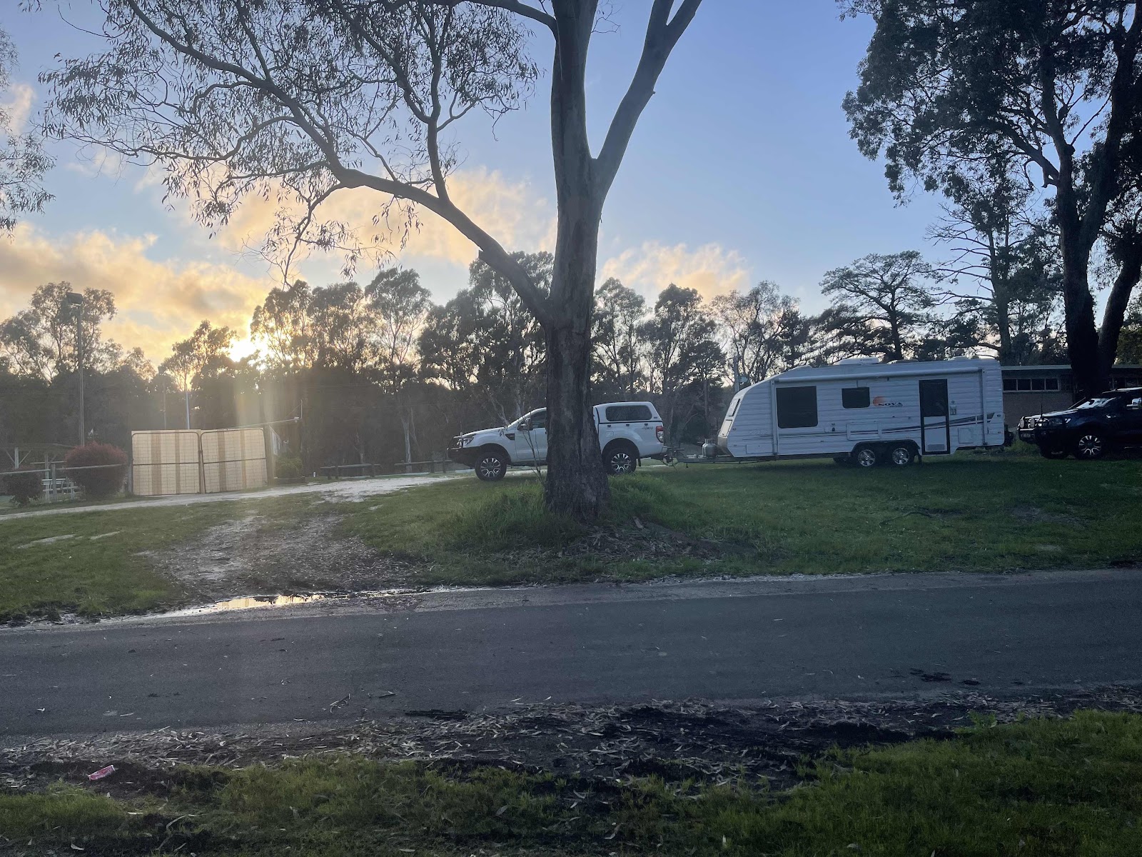
So we looked up on WikiCamps for another one close by that sounded really good so we headed off in that direction not far along the way

We were delighted with our change of choice we were welcomed by very very friendly lady Lyn who gave us lots of information about the surrounding area as well

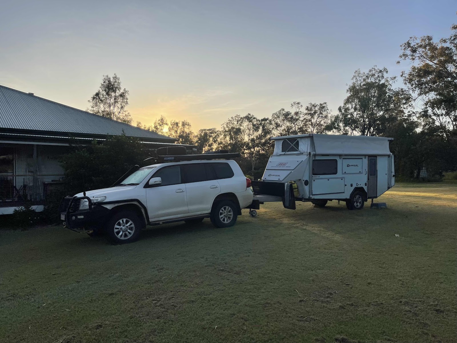
Having set up our van in a lovely little nook in the bushes we unhooked and headed back into town for some sightseeing


Took photo of this statue of Maykbe diva

Drove along the foreshore

And drove around the marina looking at all the many fishing boats


We then drove on to Billy Lights point

Nice views at the point


And went for a bit of a walk around the point

Saw this lizard outside the art gallery

Went past Matthew Flinders and his cat sculpture on our way back into town to do our shopping and to buy some wine and then go to the Grand Tavern to have dinner and drinks

And this memorial archway


This is the HEMA maps tracking of our days journey
It sounded great on WikiCamps
And had an impressive entrance but on driving in and around we felt this was not suitable for us
So we looked up on WikiCamps for another one close by that sounded really good so we headed off in that direction not far along the way
We were delighted with our change of choice we were welcomed by very very friendly lady Lyn who gave us lots of information about the surrounding area as well
Having set up our van in a lovely little nook in the bushes we unhooked and headed back into town for some sightseeing
Took photo of this statue of Maykbe diva
Drove along the foreshore
And drove around the marina looking at all the many fishing boats
We then drove on to Billy Lights point
Nice views at the point
And went for a bit of a walk around the point
Saw this lizard outside the art gallery
Went past Matthew Flinders and his cat sculpture on our way back into town to do our shopping and to buy some wine and then go to the Grand Tavern to have dinner and drinks
And this memorial archway
This is the HEMA maps tracking of our days journey
And this expanded bit around town shows our sightseeing driving
As well as welcoming us and giving us information about the area, Lyn had presented us with this cookie pack with some biscuits and some chocolate that we enjoyed when we got back to our van that evening

Comments
Post a Comment