Day 42 Streaky Bay and moving on to Smoky Bay
Just had to post photos of this amazing camp kitchen that just happened to be very close where our van was and so we used it a lot
And this is the ladies amenities that was also very close to where we were
With this amazing shower/toilet room of which there were several in the ladies section
After we had hitched up before leaving the caravan park we walked down to the beach just below the caravan park
With views across to the islands that the caravan park was named after
Did a bit of exploring around the overhanging rocks
Before heading out to smoky Bay we decided to explore Streaky Bay as we had not done that the day before
Some pretty murals on the buildings


Took photos of the pub where we had dinner the night before

And this life like statue of local winning jockey


Photo of the pier

Finally managed to get a photo of this seafood frontier sign I had seen lots of little signs along the way stating the seafood way

There were a few of these coloured painted tiles on the ends of some of the seats in one of the streets

With an explanation of the picture on the top of the seat
Took photos of the pub where we had dinner the night before
And this life like statue of local winning jockey
Photo of the pier
Finally managed to get a photo of this seafood frontier sign I had seen lots of little signs along the way stating the seafood way
There were a few of these coloured painted tiles on the ends of some of the seats in one of the streets
With an explanation of the picture on the top of the seat
This one was about transport

This one was about community


And this one was about service


We felt like morning tea before we left Streaky Bay so Bill walked around the streets to try and find an open cafe and found this fabulous one called Funk’d which was packed because it appeared to be the only cafe open in the town.
This one was about community
And this one was about service
We felt like morning tea before we left Streaky Bay so Bill walked around the streets to try and find an open cafe and found this fabulous one called Funk’d which was packed because it appeared to be the only cafe open in the town.
We found a cozy seat out the back in a gorgeous little indoor garden area

After morning tea actually coffee we were back on the road again on the Flinders Highway


Towards Smoky Bay


However we pulled in to Perbulie Beach on the way


With a turn off not far along the road


Just had to take a photo of these gazanias growing wild everywhere
After morning tea actually coffee we were back on the road again on the Flinders Highway
Towards Smoky Bay
However we pulled in to Perbulie Beach on the way
With a turn off not far along the road
Just had to take a photo of these gazanias growing wild everywhere
They are actually weeds here


A pretty Beach

With rocky outcrops


With steps down to the beach with these gorgeous little shelters

It reminded me very much of the beaches that I was used to in Kenya with the lovely white sand the seaweed on the beach and the beach shelters


On the highway again


We turned into Haslam

And checked out the beach there

Went down the boat ramp

Where they’ve made a barrier along the edge made of tyres joined together

We walked around to the jetty

And walked on it


To the end where we nearly got blown away by the gusty wind


Read the information boards at Haslam before leaving


Mural on the side of the building at Haslam

Back out on the Haslam highway to the Flinders Highway

Continued on the Flinders Highway until we came to the turn off to Acramans Creek conservation area


We turned down this road as it also lead to Smoky Bay our final destination for the day but after a little while realised that it probably wasn’t the best road be going on under these conditions so we came back out again onto the main highway


Turned off into smoky Bay


To book in to the caravan park where Hilary and Tony were staying


After setting up our van, having lunch in the kitchen and chatting to Hilary and Tony we headed off for the afternoon to Point Brown

Good gravel road out


Stopped to look at a lookout point


Drove around the headland where there were a few campers setup


We were following the directions on the map to point Brown

And got a bit lost amongst the tracks going every which way

We eventually found the track that headed to wards the rock pools


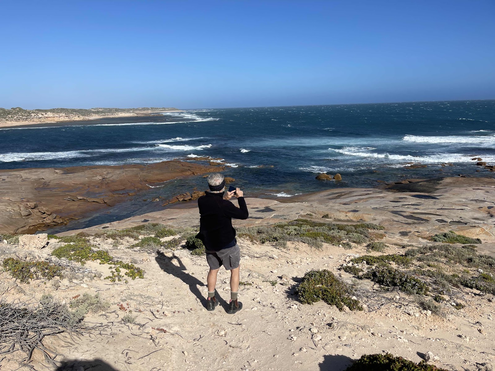
And walked down to the rock pools in the howling gale

The sand blowing up with the wind was hitting my face


We finally found the track down to the rocks

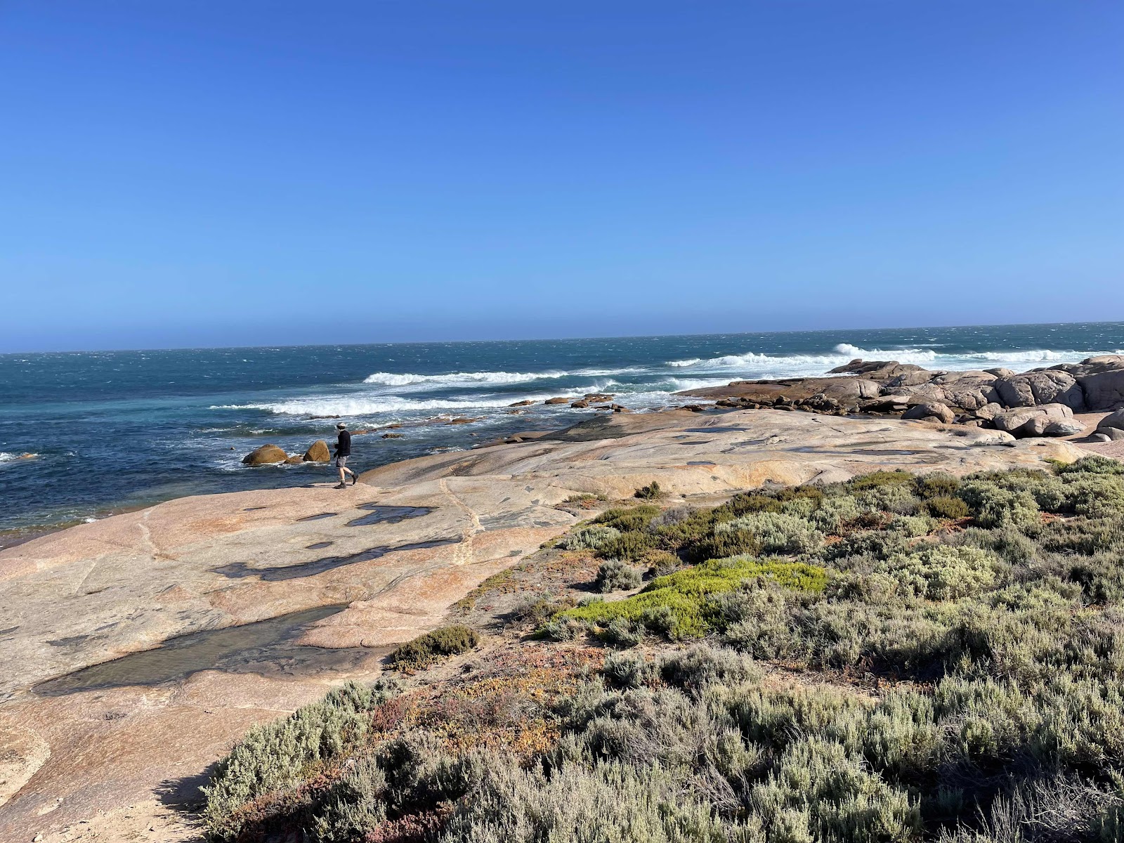
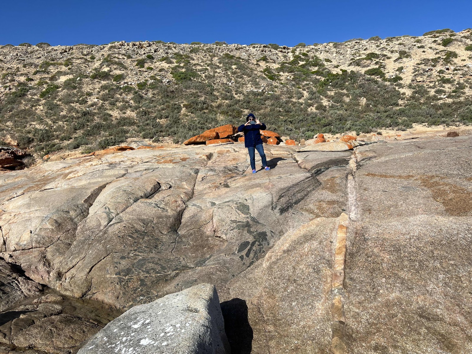
and eventually got down onto the rocks where there were lots of pretty rock pools


Bill went down to one of the rock pools and felt that the water was warm and inviting. pity the wind was so strong and cold and hence made it uninviting


This is the spot image of where the rock pools were
A pretty Beach
With rocky outcrops
With steps down to the beach with these gorgeous little shelters
It reminded me very much of the beaches that I was used to in Kenya with the lovely white sand the seaweed on the beach and the beach shelters
On the highway again
We turned into Haslam
And checked out the beach there
Went down the boat ramp
Where they’ve made a barrier along the edge made of tyres joined together
We walked around to the jetty
And walked on it
To the end where we nearly got blown away by the gusty wind
Read the information boards at Haslam before leaving
Mural on the side of the building at Haslam
Back out on the Haslam highway to the Flinders Highway
Continued on the Flinders Highway until we came to the turn off to Acramans Creek conservation area
We turned down this road as it also lead to Smoky Bay our final destination for the day but after a little while realised that it probably wasn’t the best road be going on under these conditions so we came back out again onto the main highway
Turned off into smoky Bay
To book in to the caravan park where Hilary and Tony were staying
After setting up our van, having lunch in the kitchen and chatting to Hilary and Tony we headed off for the afternoon to Point Brown
Good gravel road out
Stopped to look at a lookout point
Drove around the headland where there were a few campers setup
We were following the directions on the map to point Brown
And got a bit lost amongst the tracks going every which way
We eventually found the track that headed to wards the rock pools
And walked down to the rock pools in the howling gale
The sand blowing up with the wind was hitting my face
We finally found the track down to the rocks
and eventually got down onto the rocks where there were lots of pretty rock pools
Bill went down to one of the rock pools and felt that the water was warm and inviting. pity the wind was so strong and cold and hence made it uninviting
This is the spot image of where the rock pools were
We had set directions to point Brown thinking that’s where the rock pools were that is why we got a little lost

On the road back out from the rock pools

We discovered a turn off to the left

And on checking the maps we found it also went back to Smoky Bay and was a shorter route

And a prettier route as it went beside the shoreline


And it came out near to the caravan park

Took this photo although it looks a nice sunny day it is blowing a gale and is very cold it is evident by the direction of the leaves on the palms and of the white caps on the ocean

We discovered that there was a restaurant in the nearby community club so Hilary booked for dinner for all of us for 630
On the road back out from the rock pools
We discovered a turn off to the left
And on checking the maps we found it also went back to Smoky Bay and was a shorter route
And a prettier route as it went beside the shoreline
And it came out near to the caravan park
Took this photo although it looks a nice sunny day it is blowing a gale and is very cold it is evident by the direction of the leaves on the palms and of the white caps on the ocean
We discovered that there was a restaurant in the nearby community club so Hilary booked for dinner for all of us for 630
It was so good to catch up with them after three years. They have been in their van since the beginning of Covid and have been travelling in all different directions since the opening of the borders They are heading in the opposite direction to us so this was the first and only opportunity we had to catch up
This is our HEMA map tracking for the day
And this shows all the driving around that we did at Point Brown!!!
Comments
Post a Comment