Day 45 moving on from Ceduna
Up early as disturbed by the sound of a noisy truck at 4 o’clock
Heading out onto the Eyre Highway


Leaving the Flinders Highway behind


Farewell to Ceduna and heading towards Wirrulla


Flat countryside - wheat growing countryside- exactly as I had commented in my 2018 blog

Sign at a rest area

Breakfast was early and a long time ago so we were needing to have a coffee break. This was the first place that we came to.


We had no idea what the secret was. Found out later that it had an inland jetty. We never saw it!!!


Fortunately there was a general purpose store there where we were able to get a coffee. However She did not have anything in the store that we felt was suitable to eat for morning tea with a coffee and it was very cold and there was nowhere nice to sit so we took our coffees, sat in the car and drank them and had some of the munchies that we had in the car with us
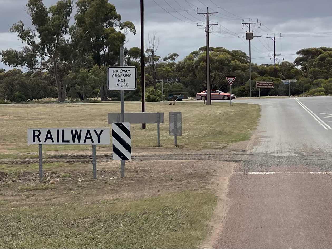
The rail line was beside the roadway for quite some distance along this way. So each time we turned off the highway we crossed the rail line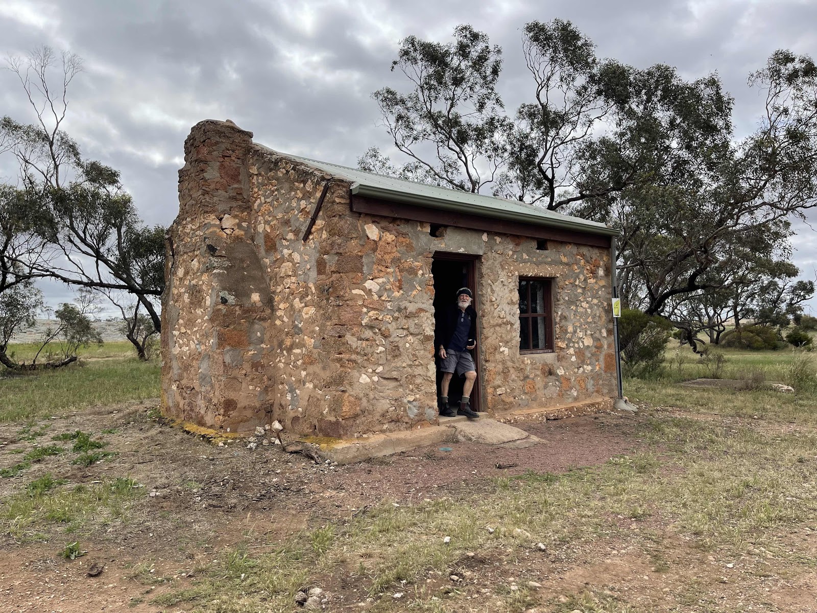
Which we parked near to

And near to this outback dunny which was real outback dunny


Came across this interesting drainage system from the rock where they had built a wall around the base of the rock to catch the water off the rock to channel the water along this drain


Into a pool
Before leaving the area we continued the drive around the rock


Spotted this pretty park on our way out of Minnipa having driven through Minnipa after our rock exploring

Back on the highway

Checking out distances and wondering where to stay the night as the day was wearing on


This Pipeline was all the way along beside the highway with the occasional kilometre sign next to it presuming that that is the distance from Port Augusta

Passed the turn off across to the Flinders Highway and Port Kenny

And reaching Wudinna


Where we turned into the town to find the Showgrounds as WikiCamps had mentioned that there was camping there


Followed the signs

And found the park that looked like it had plenty of room

The HEMA map tracking of our drive today

And the tracking of our drive around from Minnipa

There were other vans in the Showgrounds but they were all around the perimeter which is where the power was so we set up in the middle behind some bushes facing away from the wind

And away from everyone else

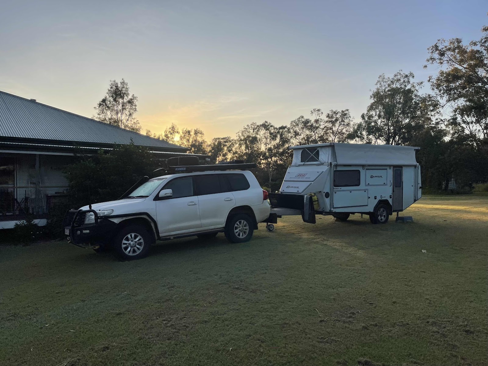
We set up the kitchen seeing as it wasn’t raining to cook up our dinner having sat outside and enjoyed drinks and nibbles first

Not a particularly good sunset but a pretty sky all the same

We both got up early anyway as we had decided that we would wash the sheets before we left.
Unfortunately we did not have enough dollar coins but Bill went off to the service station got fuel and got some dollar coins
Another dull morning but at least the wind has died down making it much easier to pack up
Bill topped up the water tanks in the van and we also emptied the blackwater at the dump point
We were out of the park and on the road by 10:30
Heading out onto the Eyre Highway
Leaving the Flinders Highway behind
Farewell to Ceduna and heading towards Wirrulla
Flat countryside - wheat growing countryside- exactly as I had commented in my 2018 blog
Sign at a rest area
Breakfast was early and a long time ago so we were needing to have a coffee break. This was the first place that we came to.
We had no idea what the secret was. Found out later that it had an inland jetty. We never saw it!!!
Fortunately there was a general purpose store there where we were able to get a coffee. However She did not have anything in the store that we felt was suitable to eat for morning tea with a coffee and it was very cold and there was nowhere nice to sit so we took our coffees, sat in the car and drank them and had some of the munchies that we had in the car with us
The rail line was beside the roadway for quite some distance along this way. So each time we turned off the highway we crossed the rail line
The typical rail crossing sign.


But in fact no trains would be using this track

Bill had noticed a different train symbol so walked back to get a photo of it. In fact it wasn’t different. It was just that a piece had peeled off it

Poochera our next destination


Passing the turn off to Streaky Bay


I remembered the dinosaur ant so we pulled in to have a look

Seems it has been moved because I remember it being in the forecourt of a service station. Turns out there is no operating service station in the town any more anyway


Took photos of all the information boards


And check around the whole area where the dinosaur ant was as we had not seen any of this last time we went through

Especially this interesting Humpty


Or the associated workshed out the back

Or the toilets


So that was Poochera
But in fact no trains would be using this track
Bill had noticed a different train symbol so walked back to get a photo of it. In fact it wasn’t different. It was just that a piece had peeled off it
Poochera our next destination
Passing the turn off to Streaky Bay
I remembered the dinosaur ant so we pulled in to have a look
Seems it has been moved because I remember it being in the forecourt of a service station. Turns out there is no operating service station in the town any more anyway
Took photos of all the information boards
And check around the whole area where the dinosaur ant was as we had not seen any of this last time we went through
Especially this interesting Humpty
Or the associated workshed out the back
Or the toilets
So that was Poochera
Still in the Streaky Bay district it seems that all the towns in Streaky Bay have these symbolic town signs at the entrance

Back on the highway

And out of the streaky Bay district

But still on the Eyre peninsula

Excellent and interesting road surface

We pulled in at the next town we came to


Parked and went into the local store which in fact was the service station the post office the takeaway shop the cafe, in fact the everything store in this town
Back on the highway
And out of the streaky Bay district
But still on the Eyre peninsula
Excellent and interesting road surface
We pulled in at the next town we came to
Parked and went into the local store which in fact was the service station the post office the takeaway shop the cafe, in fact the everything store in this town
This little home-made cart was next to the petrol pump

It was also the information centre
It was also the information centre
We asked about the roads into the Gawler ranges as this was where we were hoping to go to next. There was a lack of certainty so it was suggested that we rang the number that was on the map that we had picked up, which is what I did.
Sadly the roads were still closed which meant we could not go into the Gawler ranges

It was our plan to purchase something to eat here and take it with us to eat in the park. They had yuros on the menu and we didn’t know what they were so the lass behind the counter explained what they were so we ordered one to share between us

On the way out we passed this very closed delapidated post office building.


We had been told earlier on in our travels about the Pildappa rock so we took our lunch out there to eat at the rock.
It was our plan to purchase something to eat here and take it with us to eat in the park. They had yuros on the menu and we didn’t know what they were so the lass behind the counter explained what they were so we ordered one to share between us
On the way out we passed this very closed delapidated post office building.
We had been told earlier on in our travels about the Pildappa rock so we took our lunch out there to eat at the rock.
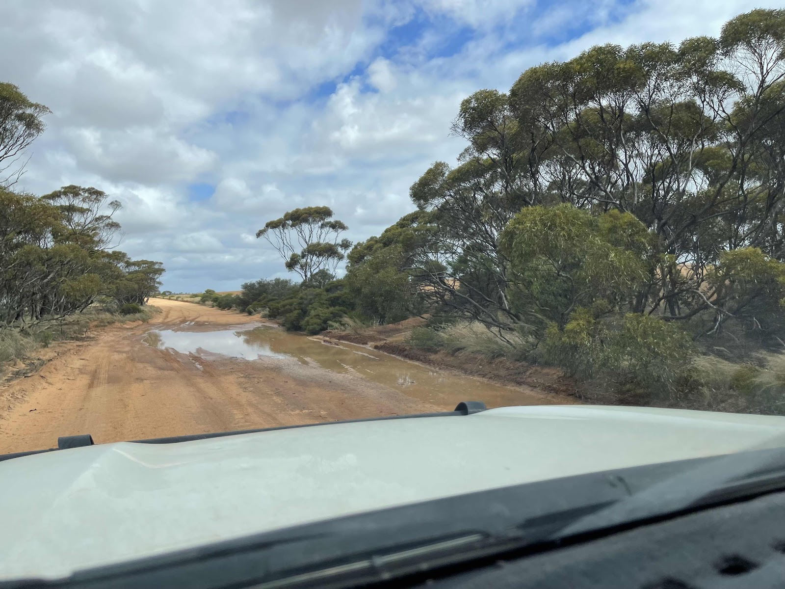
The road out to the rock was the same road as the road out to the Gawler ranges

No signs on the road to say that it was closed but we were not going to risk it

We continued out on the gravel road to Pildappa rock


Where we first of all ate our yuros looking at the rock, before exploring it


so off we set up onto it

We took lots of photos from the top as we went from one end to the other exploring different nooks and crannies


 Bill had thought to track our movements on top of the rock using Gaia but only after reaching one end

Having come down from the top of the rock we then took photos of the wave in the rock

Couldn’t get a good photo of the complete wave as some inconsiderate person had decided to back and park their van right up against the edge of the rock even though there was a sign that said to stay 50 m from the edge of the rock when camping


This is the map that we picked up on route that we actually picked up to use for the Gawler ranges

However it did have a picture of the loop that went around from Pildappa rock to Tcharkuldu rock

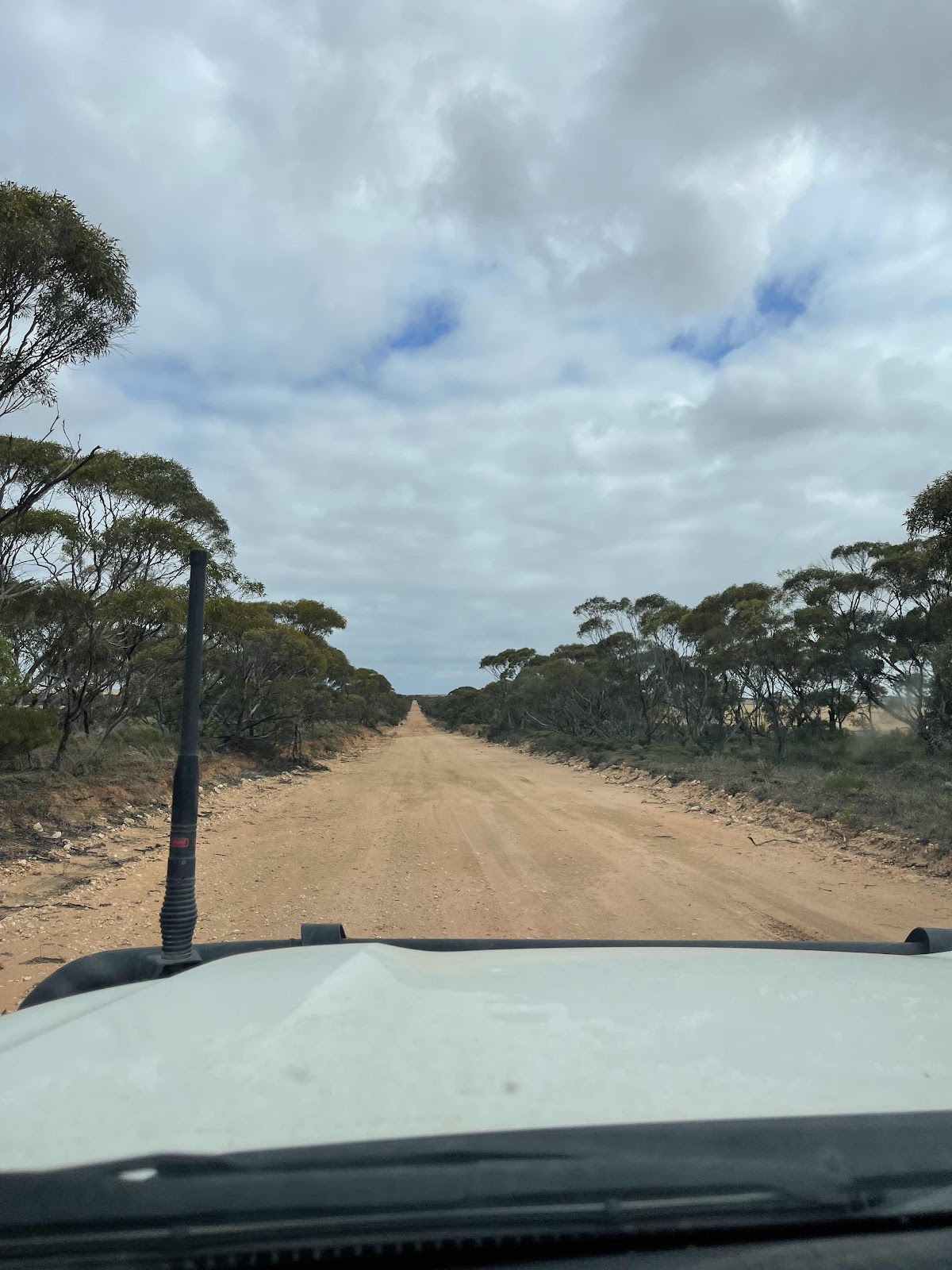
So after driving around rock out on the Loop Road

Not a bad road but I suspect not often used as I think people going out to check Tcharkuldu Rock would be coming out directly from Minnipa


Eventually arrived at the entrance


We checked out all the information boards at the entrance

And then headed out along the road around the rock

Came across this hut
No signs on the road to say that it was closed but we were not going to risk it
We continued out on the gravel road to Pildappa rock
Where we first of all ate our yuros looking at the rock, before exploring it
so off we set up onto it
We took lots of photos from the top as we went from one end to the other exploring different nooks and crannies
Bill had thought to track our movements on top of the rock using Gaia but only after reaching one endHaving come down from the top of the rock we then took photos of the wave in the rock
Couldn’t get a good photo of the complete wave as some inconsiderate person had decided to back and park their van right up against the edge of the rock even though there was a sign that said to stay 50 m from the edge of the rock when camping
This is the map that we picked up on route that we actually picked up to use for the Gawler ranges
However it did have a picture of the loop that went around from Pildappa rock to Tcharkuldu rock
So after driving around rock out on the Loop Road
Not a bad road but I suspect not often used as I think people going out to check Tcharkuldu Rock would be coming out directly from Minnipa
Eventually arrived at the entrance
We checked out all the information boards at the entrance
And then headed out along the road around the rock
Came across this hut
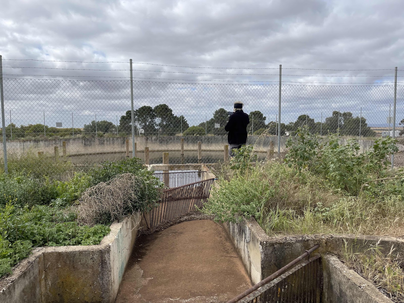
Which we parked near to
And near to this outback dunny which was real outback dunny
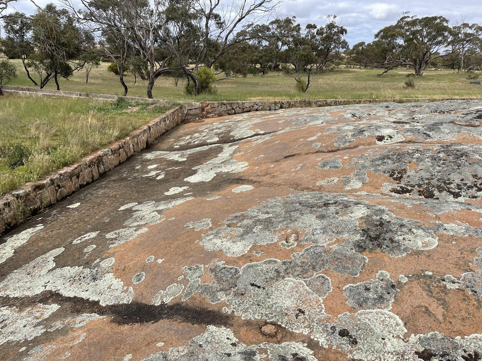
Came across this interesting drainage system from the rock where they had built a wall around the base of the rock to catch the water off the rock to channel the water along this drain
Into a pool
Very clever idea


We spent quite some time exploring this rock climbing up to the trig point

Again lots of photos taken here


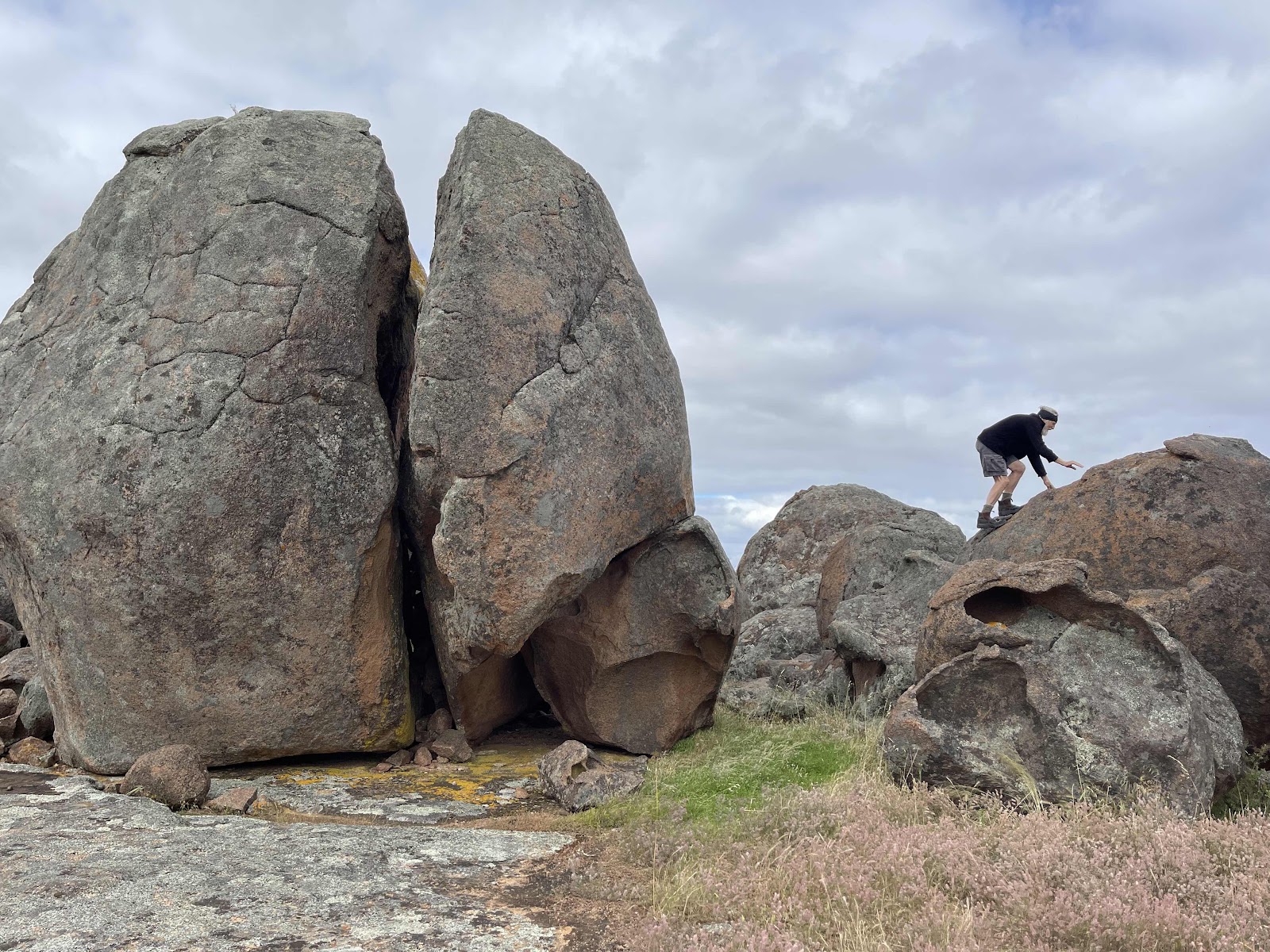


Again Bill tracked where we walked using Gaia
We spent quite some time exploring this rock climbing up to the trig point
Again lots of photos taken here
Again Bill tracked where we walked using Gaia
Before leaving the area we continued the drive around the rock
Spotted this pretty park on our way out of Minnipa having driven through Minnipa after our rock exploring
Back on the highway
Checking out distances and wondering where to stay the night as the day was wearing on
This Pipeline was all the way along beside the highway with the occasional kilometre sign next to it presuming that that is the distance from Port Augusta
Passed the turn off across to the Flinders Highway and Port Kenny
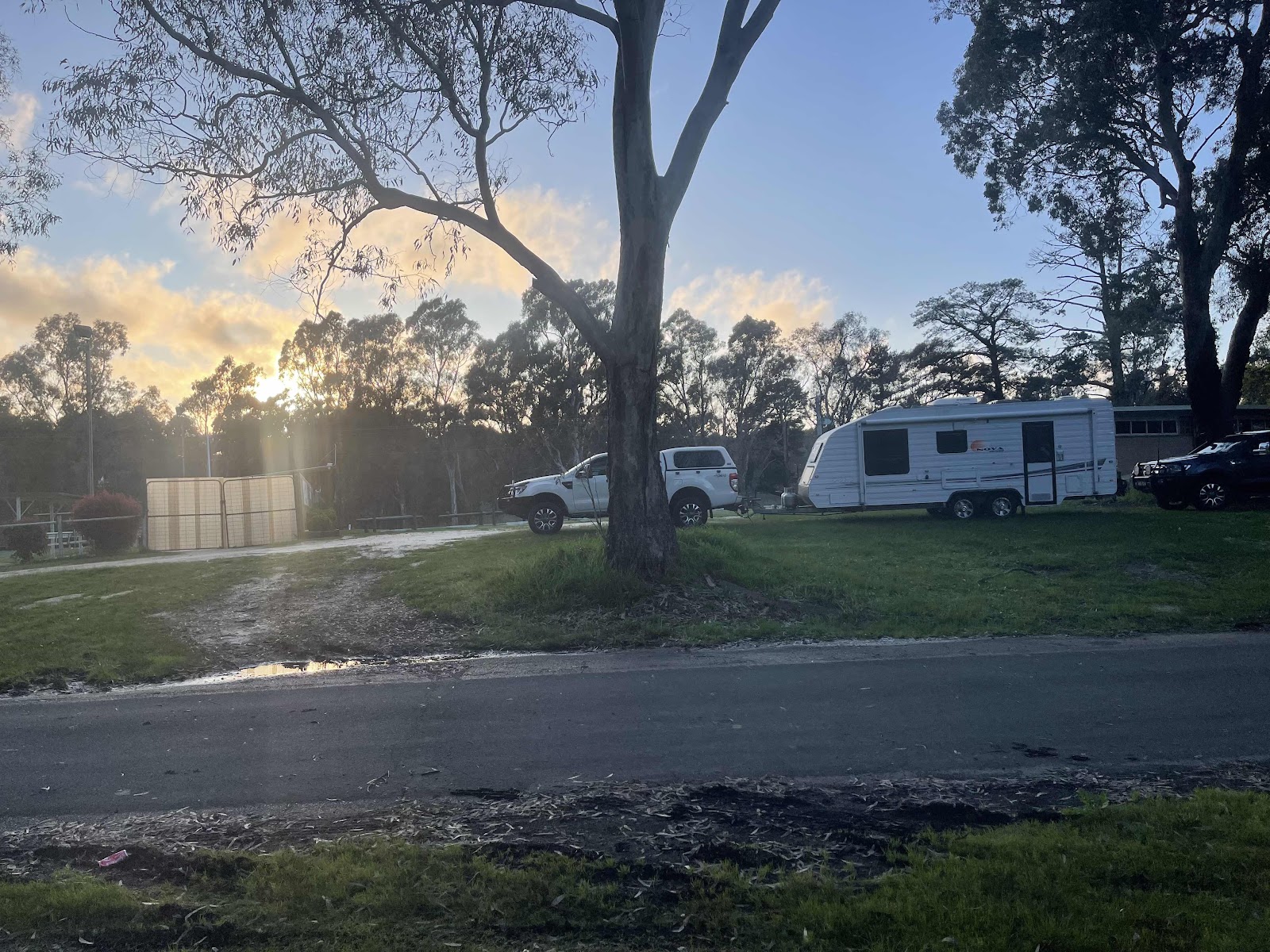
And reaching Wudinna
Where we turned into the town to find the Showgrounds as WikiCamps had mentioned that there was camping there
Followed the signs
And found the park that looked like it had plenty of room
The HEMA map tracking of our drive today
And the tracking of our drive around from Minnipa
There were other vans in the Showgrounds but they were all around the perimeter which is where the power was so we set up in the middle behind some bushes facing away from the wind
And away from everyone else
We set up the kitchen seeing as it wasn’t raining to cook up our dinner having sat outside and enjoyed drinks and nibbles first
Not a particularly good sunset but a pretty sky all the same

Comments
Post a Comment