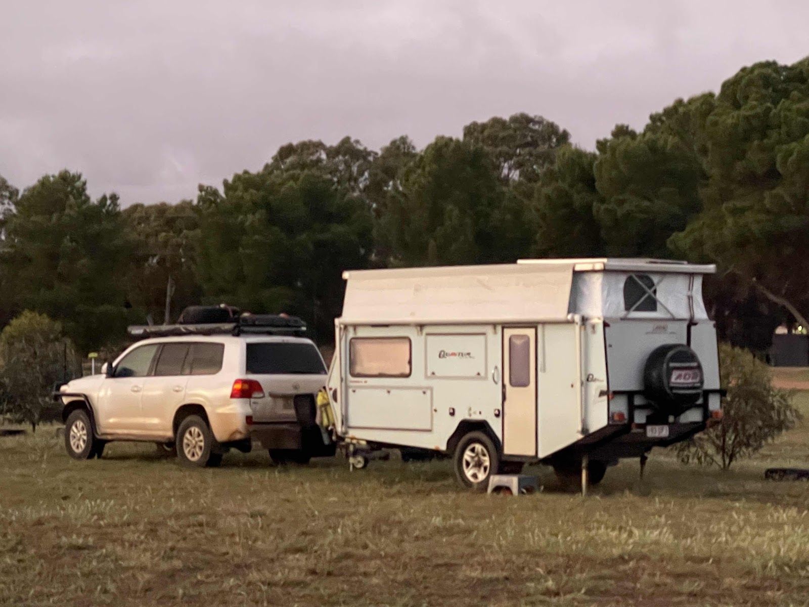
Day 46 Wudinna to Nutbush Retreat 😜
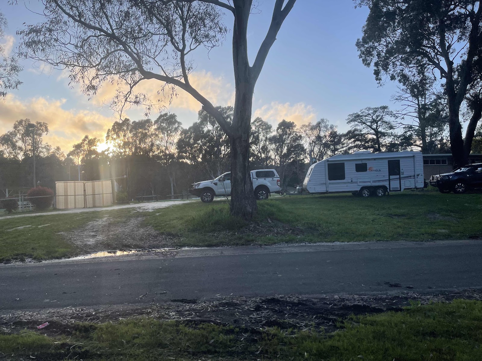
Although did rain a bit in the night and was spitting food likely some of the time in the morning it was pleasant but slightly overcast morning to leave a nice little spot in the middle of the recreation area in Wudinna
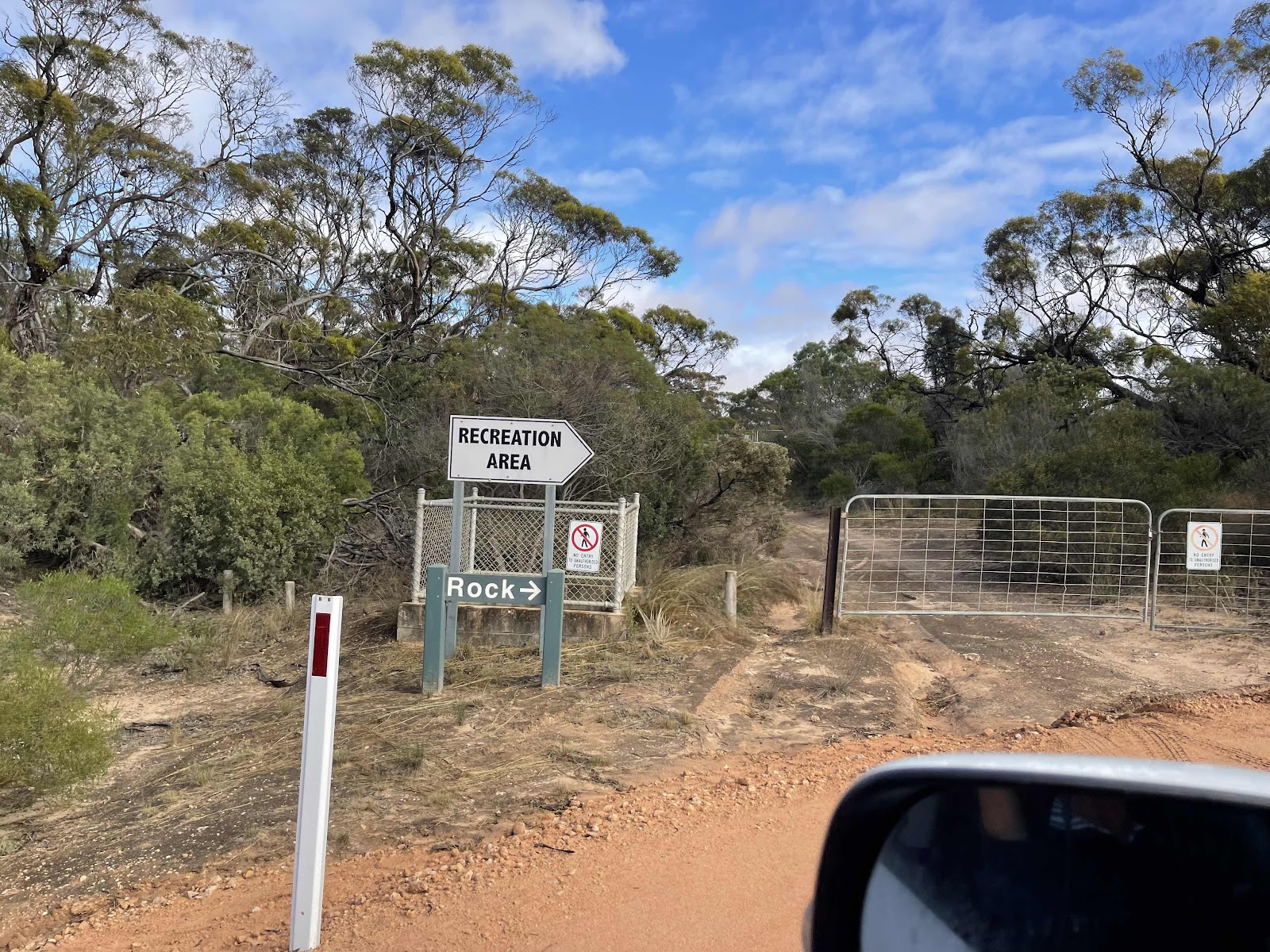
We had seen this sign on our way in last night and read about the interesting rocks in the area so we decided to head out here before moving on

This sign outlined interesting rocks that we could explore in the area

Sadly we went past the turn off to the Gawler ranges National Park which is where we had originally planned to go until we rang up and discovered the road was still closed however there was no road closed sign at the start of this road

Anyway we headed towards the Mount Wudinna tourist Drive

Having first stopped off at the junction to look at these gorgeous metal sculpture of an emu with her chicks


At what looks like to be a new structure

I’m from here it was a gravel road

But a good gravel road where they are obviously in the process of maintaining it

I noticed a pathway to the side of the road and wondered what it was
I did discover later

Past these wheat storage containers that looked like emus in a field

The first place on the circuit loop was Polda rock

So we turned in there


And headed off to climb up and over it


Stopping off first at the lake where the water had been collected using the channelling system around the edges where a rock wall had been built


Several photos now of our journey up and around and over the rock


At the end I walked a little bit along the track that takes you all the way round

Observing this beautiful coloured grass blowing in the breeze

I did an all trails track of our walk over the rock

Leaving the rock behind we continued on the scenic drive loop


Passing Turtle Rock


And stopping to read the notice about it

And taking photos of it from the road but not walking to it as we wanted to continue on to Mount Wudinna


Stopped to read all the signs at the entrance


Taking note of the different trails and choosing the one that went to the top of the mountain


Starting off out at the multi Trail starting point


And then heading off on the Trail to the top of the mountain

Lots of instructional signs and information boards along the way


The signs being next to the relevant point of interest


Reaching the top of Mount Wudinna

Just had to take a photo of this tiny plant in flower growing out of the rock

Found several of these tags placed at the same distance around the central checkpoint

This multi directional marker was also at the top of the mountain

I took several photos of the item in the distance that the directional marker was pointing to


Past these wheat storage containers that looked like emus in a field
The first place on the circuit loop was Polda rock
So we turned in there
And headed off to climb up and over it
Stopping off first at the lake where the water had been collected using the channelling system around the edges where a rock wall had been built
Several photos now of our journey up and around and over the rock
At the end I walked a little bit along the track that takes you all the way round
Observing this beautiful coloured grass blowing in the breeze
I did an all trails track of our walk over the rock
Leaving the rock behind we continued on the scenic drive loop
Passing Turtle Rock
And stopping to read the notice about it
And taking photos of it from the road but not walking to it as we wanted to continue on to Mount Wudinna
Stopped to read all the signs at the entrance
Taking note of the different trails and choosing the one that went to the top of the mountain
Starting off out at the multi Trail starting point
And then heading off on the Trail to the top of the mountain
Lots of instructional signs and information boards along the way
The signs being next to the relevant point of interest
Reaching the top of Mount Wudinna
Just had to take a photo of this tiny plant in flower growing out of the rock
Found several of these tags placed at the same distance around the central checkpoint
This multi directional marker was also at the top of the mountain
I took several photos of the item in the distance that the directional marker was pointing to
Bill took this close-up photo of little Mount Wudinna

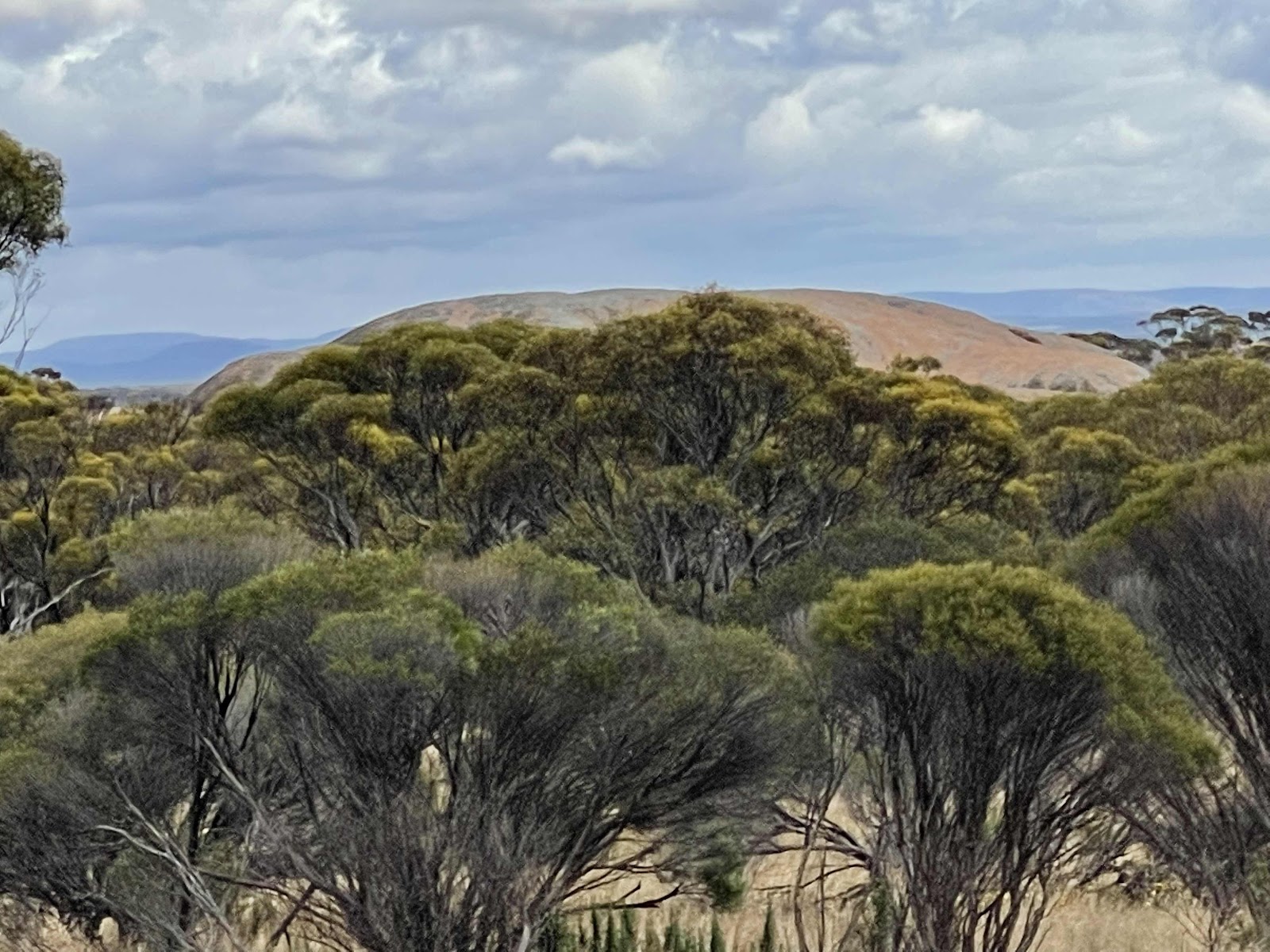
View across to Polda rock

Linda taking photos of the many views from the top


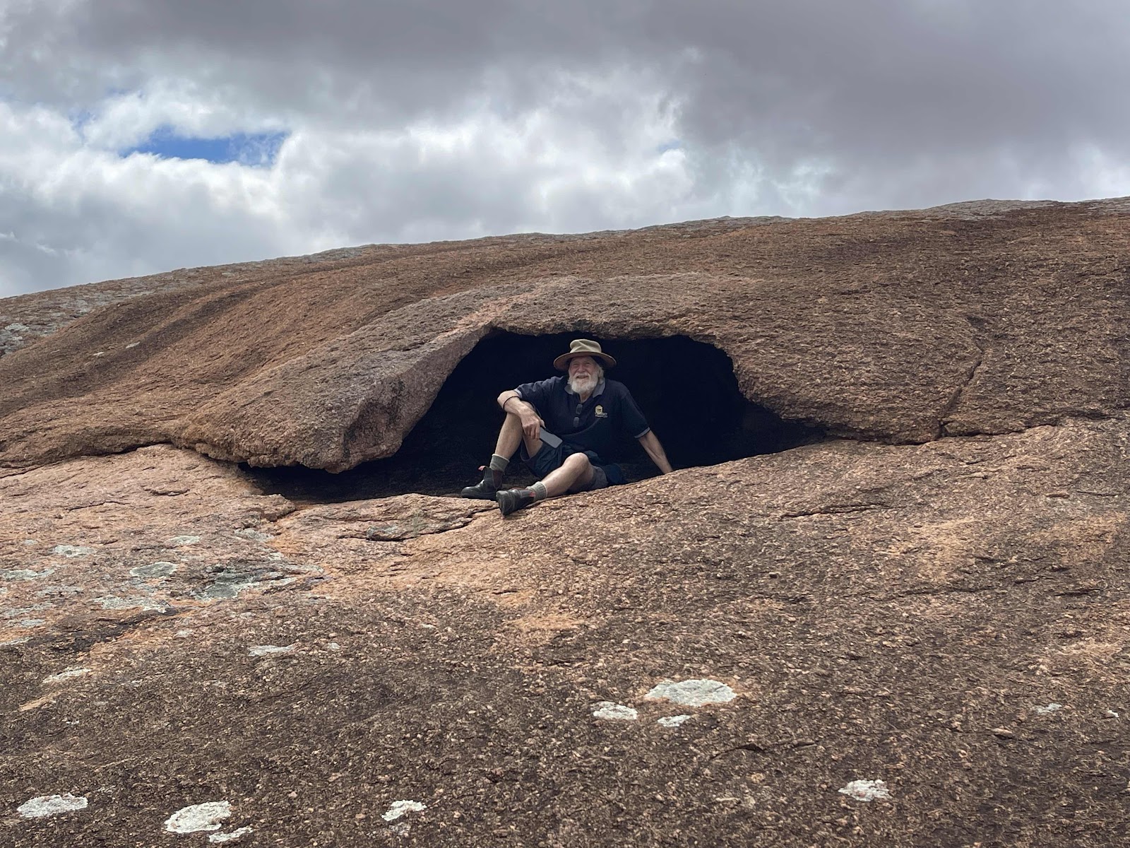
The way down went a different way back with more information signs explaining some of the features of the rock formation


When we got down off the rock we continued on around back to the vehicle along the nature Trail

Where there were quite a few of really good informational boards placed in strategic places next to the item being explained


We spotted movement amongst the bushes and saw this kangaroo that we later read to be a Euro. They appear to be much lighter in colour than the kangaroos and Wallabies that we have been used to seeing


At the end of the walk we headed towards the amenities building

Where we came across this interesting structure that we didn’t know what it was until we went around the front and read it was

Pretty metal sculptures just next to the shelter that held a lot of information about the area


Lots of flies here as their half been at a lot of places we have been to lately
View across to Polda rock
Linda taking photos of the many views from the top
The way down went a different way back with more information signs explaining some of the features of the rock formation
When we got down off the rock we continued on around back to the vehicle along the nature Trail
Where there were quite a few of really good informational boards placed in strategic places next to the item being explained
We spotted movement amongst the bushes and saw this kangaroo that we later read to be a Euro. They appear to be much lighter in colour than the kangaroos and Wallabies that we have been used to seeing
At the end of the walk we headed towards the amenities building
Where we came across this interesting structure that we didn’t know what it was until we went around the front and read it was
Pretty metal sculptures just next to the shelter that held a lot of information about the area
Lots of flies here as their half been at a lot of places we have been to lately
respite from them has been when there has been a breeze

We stopped to read the information at the shelter


I did and all trails track of our climb up Mount Wuddin and our walk around the nature Trail

We stopped to read the information at the shelter
I did and all trails track of our climb up Mount Wuddin and our walk around the nature Trail
On our way out onto the Loop drive I noticed a track on our left and I also noticed a shelter so thought perhaps it was a walking/cycling Trail

So we stopped on our way back into Wudinna to have a look at the shelter

There was no information at the shelter but it was obvious that it was a rest stop along this pathway


When we got back into Wudinna we stopped off at the bakery to have some lunch because we had to spent all morning out enjoying the outdoors climbing rocks exploring etc And when we got back into Wudinna it was well and truly lunchtime
So we stopped on our way back into Wudinna to have a look at the shelter
There was no information at the shelter but it was obvious that it was a rest stop along this pathway
When we got back into Wudinna we stopped off at the bakery to have some lunch because we had to spent all morning out enjoying the outdoors climbing rocks exploring etc And when we got back into Wudinna it was well and truly lunchtime
There was a statue on the other side of the road to the bakery so we went over to check it out


I also had a look at the information boards next to the statue

Here I found information about the Trail that was where I saw the shelter


We had parked outside some people‘s properties with really pretty gardens out the front

This lady Audrey had lots of hollyhocks in the front of her garden and she was out the front gardening so Bill commended her on her beautiful garden at this point she asked if we would like a lettuce

So she took us round the back of her amazing garden where she had all sorts of things growing including this poppy, special poppy where she has permission to actually grow it and not give away the seeds!!!!

The following are all the photos that Bill took of her and her garden


Time to move on from Minnipa to wherever our next destination was going to be

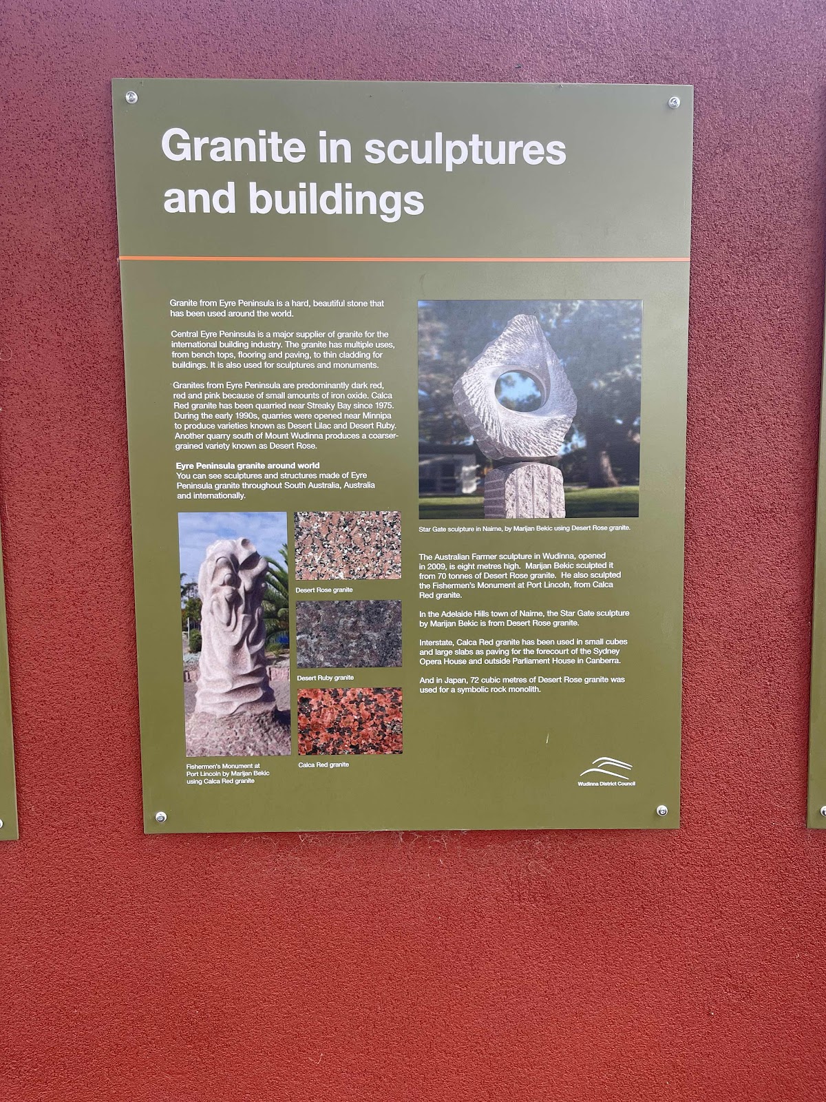
Before leaving town we drove around to check out the amazing massive Granite Australian Farmer Sculpture that the town is well known for.

And also some information boards

Each face of the sculpture had different images and the story of each of the images was in a plaque in front of each face of the sculpture


we called in to the information office before leaving where we saw this amazing carved wooden kangaroo

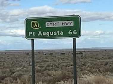
Back on the highway to our next destination

We had been travelling alongside a massive water pipe where I had noticed mileages at certain points along the way and I had detected that the number of kms was getting less

We passed through Kyancutta only a small town with nothing for us to stop for

Past the turn off across to the Flinders Highway

And continuing the Eyre highway past the turn off to Port Lincoln


A few trucks past but not many including this large load

Excellent road surface dead street highway

So we needed someone where to stop to stretch legs

Came across this rest area with this memorial


Next to fields and fields and fields of wheat
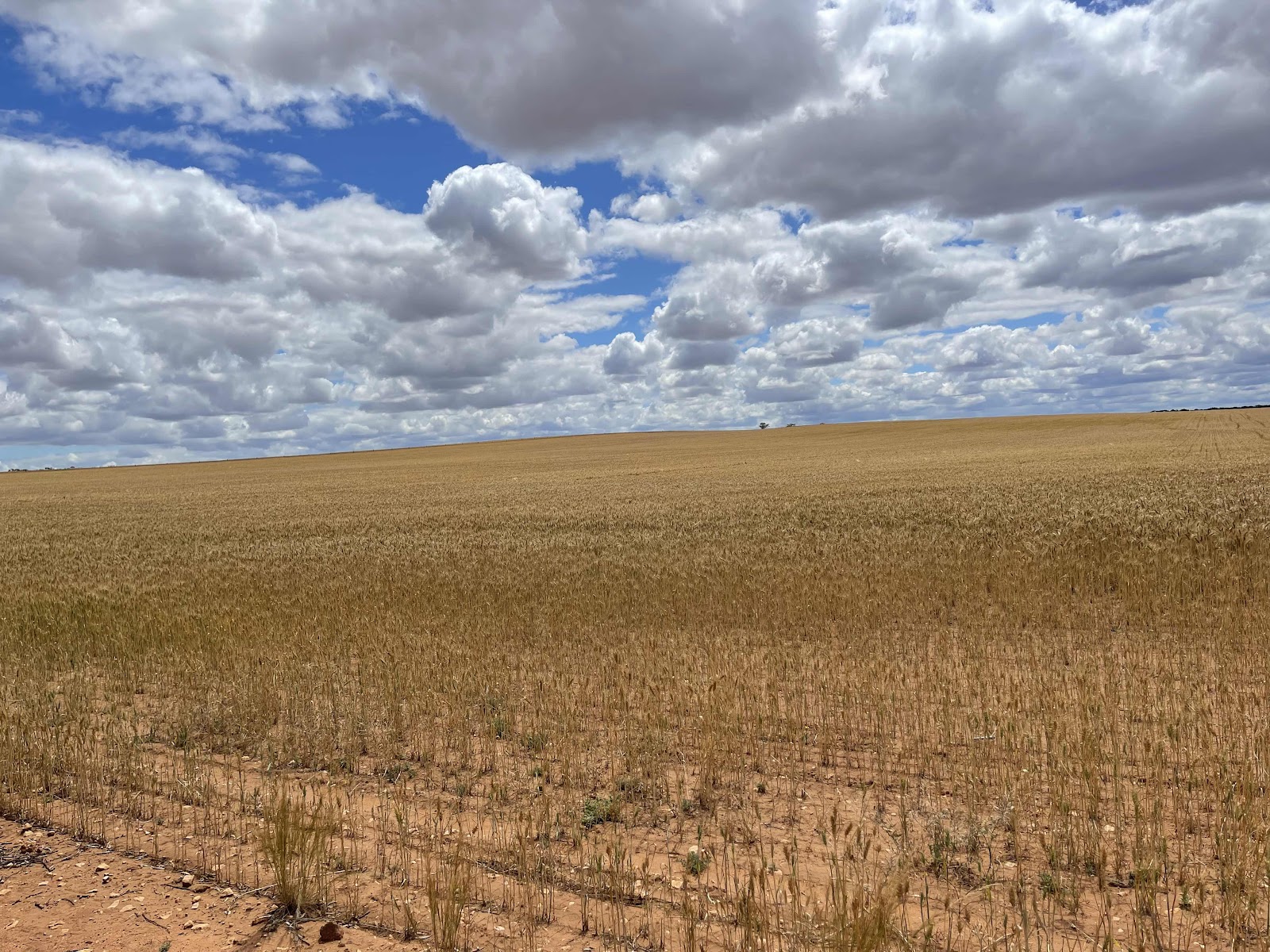

Where I was tempted to get up close and take some close-ups of the ears of wheat

And photos of these flowers sprouting between the rocks on the road

Pushing on and stopping at the next rest stop at this monument


There was also Waddikee Rock to climb at the rest area so we climbed this to stretch our legs


Back on the road again we reached the district of Kimba

But needed to stop again at another rest area

Also surrounded by Wheat where Bill picked some ears for us


Next we reached Kimba with a lot to see


First of all we refuelled because Bill had noticed a sign that said no fuel for the next 159 km


First of all we headed for the painted silos


Next we headed for the halfway across Australia sign

Where there was information about the town of Kimba

I also noticed a sign of an explanation about the history of the grain in the region

Of course before we left Kimba we had to have a look at the big galah that looked very different to the last time we saw it it has certainly had a fresh coat of paint


We noticed that there was a look out with sculptures so we drove up to check it out


Information about Kimba at the lookout

And information about the statue

That was actually two absolutely amazing tall metal sculptures


With incredible detail especially with the faces

The views from the look out weren’t anything special

There was a directional sign at the top though

We saw this sign for a walk to some caves

So we walked down to check them out


Interesting but nothing special


On the way up to the lookout we saw this site so we decided to go to the viewing area to check it out on the way back down


We had a great deal of difficulty working out what an earth it was meant to be because it did not appear to have any water in it
We are still wondering

It was at this point where we realised we would need to decide where we were going to spend the night
It was at this point where we realised we would need to decide where we were going to spend the night
Back on the highway

Heading east

Massive truck flew past us as we had just come out of an 80 KM road maintenance zone

We passed this site and I looked up on WikiCamps as to see what it was
Heading east
Massive truck flew past us as we had just come out of an 80 KM road maintenance zone
We passed this site and I looked up on WikiCamps as to see what it was
It sounded like a really nice area to camp in but was quite some distance in off the road
In fact we were actually trying to make Nutbush retreat before it was too late.
We had camped there on our 2018 trip and thought it would be nice to stay there again as they also had a restaurant to have dinner
I had rung them when leaving Kimba and asked if we could stay the night and have dinner the lady that answered was quite reticent to accept our booking as she felt we would not be there in time she told us that meals had to be booked by 5 o’clock so we ordered them then and there she also told us that dinner was being served at 6 o’clock so Bill drove so that we would get there in time, without stopping anywhere

Some traffic on the highway

A long section of reduce speed due to roadworks


Passed this truck in a rest area. It is the one that tore past us on the highway

We drove past iron Knob

Took photos across the car window as it was on our right and the below photo is very similar to one that I posted in our 2018 blog


We could see some wind turbines on the hills ahead


We remembered that there was a project underway to put turbines there when we travelled past in 2018 so we made a mental note to check it out when we left the next day


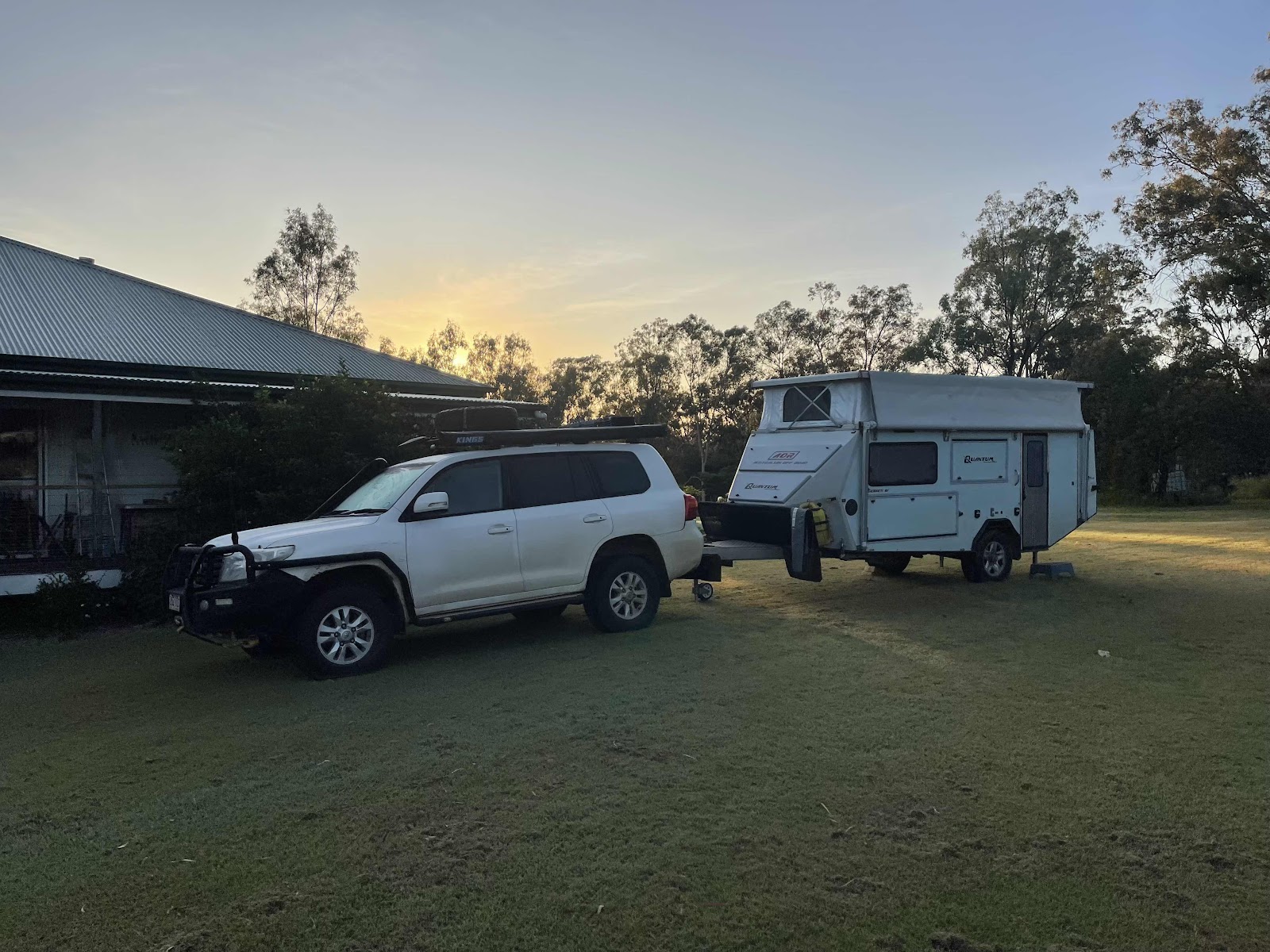
We pulled in at Nutbush retreat at 5:35


In time to check in before dinner

And in time for a drink and dinner

Received a FaceTime call from Chasely telling us and showing us the fact that the area at the front of our house had been serviced

Chasely sent a good photo showing what it looks like
Some traffic on the highway
A long section of reduce speed due to roadworks
Passed this truck in a rest area. It is the one that tore past us on the highway
We drove past iron Knob
Took photos across the car window as it was on our right and the below photo is very similar to one that I posted in our 2018 blog
We could see some wind turbines on the hills ahead
We remembered that there was a project underway to put turbines there when we travelled past in 2018 so we made a mental note to check it out when we left the next day
We pulled in at Nutbush retreat at 5:35
In time to check in before dinner
And in time for a drink and dinner
Received a FaceTime call from Chasely telling us and showing us the fact that the area at the front of our house had been serviced
Chasely sent a good photo showing what it looks like

Bill took some photos of the dining area
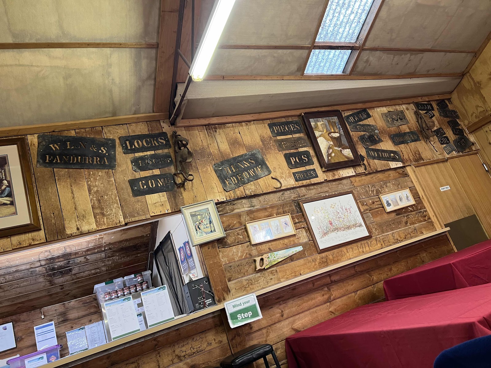

I took some photos of the information about the place


And a picture of Bill at the bar


This shows the HEMA map image of the small amount that we travelled today

And this is the area that we travelled around Wudinna

And this is the area that we travelled in Kimba

It was quite cloudy but I did manage to get a photo of the sky before the sun totally disappeared

I took some photos of the information about the place
And a picture of Bill at the bar
This shows the HEMA map image of the small amount that we travelled today
And this is the area that we travelled around Wudinna
And this is the area that we travelled in Kimba
It was quite cloudy but I did manage to get a photo of the sky before the sun totally disappeared

Comments
Post a Comment