Day 47 Nuttbush Retreat to Bulla
Clear skies and sunshine although a little cool and I wasn’t quite early enough to see the sun come up over the horizon
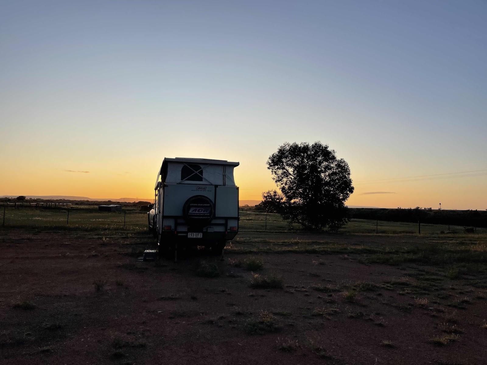
But I did enjoy the idea of giving our van a halo

Some photos of the views around our van


Took this photo very similar to the one I posted in our 2018 Travel‘s blog

Not very obvious here but looking across through the clear skies to the horizon noticed some wind turbines.
A little bit more of a story about these later
After packing up we went for a little bit of a walk out of the entrance


And across the highway along a small road running parallel to the highway

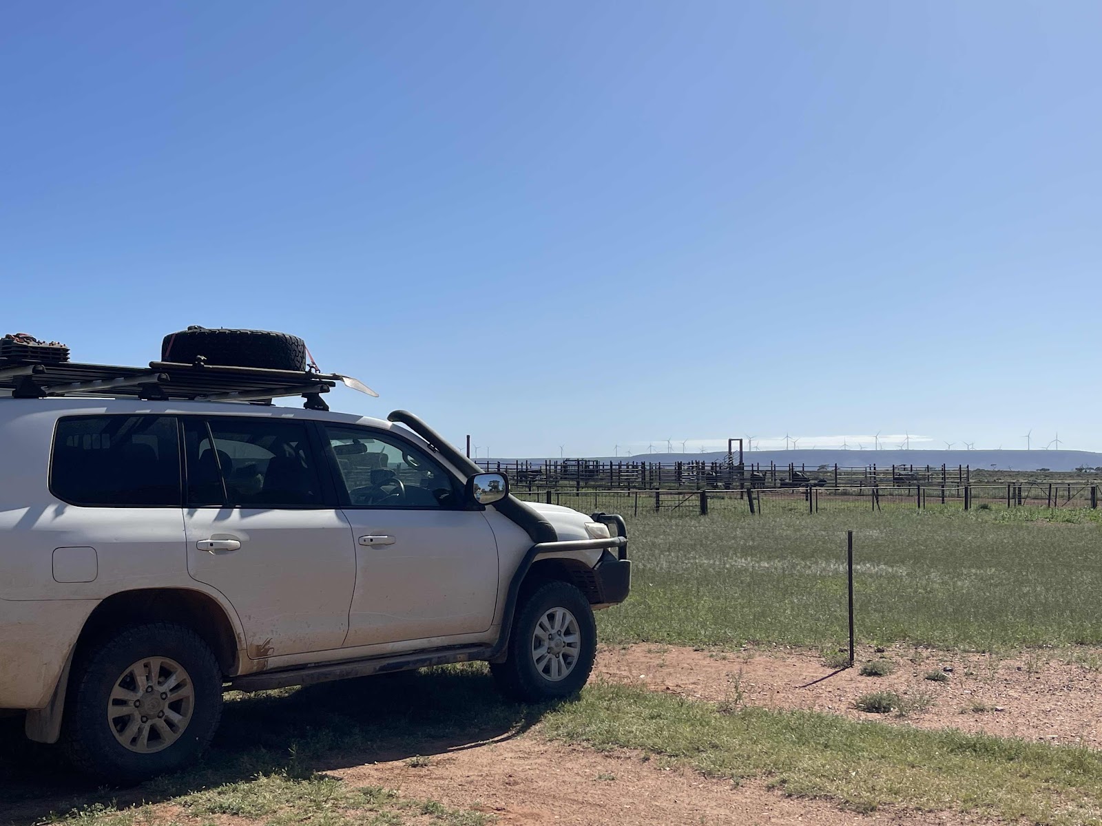
To read the signs that had been all along fenceline since we left the Iron Knob region. Seems there is a vast area of land for military use

Walked back in through the back of the Pandurra property


We called in to the reception to say goodbye to Deb and to say thank you for taking us in at such short notice yesterday
After packing up we went for a little bit of a walk out of the entrance
And across the highway along a small road running parallel to the highway
To read the signs that had been all along fenceline since we left the Iron Knob region. Seems there is a vast area of land for military use
Walked back in through the back of the Pandurra property
We called in to the reception to say goodbye to Deb and to say thank you for taking us in at such short notice yesterday
Chatted to both Deb and her husband Richard who was out the front watering and who is the chef that cooked our dinner and baked the goodies some of which we purchased for our onward travel consumption
Deb and Richard have moved on from somewhere outback where they ran a service station for several years and moved here a few months ago to restart up Nutbush retreat which is part of the Pandurra station but is managed separately to the station.
They came into it to restart it after it was closed down for the entire Covid pandemic

On leaving Pandurra Station we travelled along the Eyre highway beside the wind turbines


On arriving at the turbines we drove up to the gate to read about the Lincoln gap windfarm which I had written up about in my blog of 2018 which at that time was a project with no turbines and the project was in its infancy


Back on the highway passing the junction that we had taken earlier in our journey that took us on the Lincoln highway

Heading towards Port Augusta with the wind turbines all along the hills beside us


Also passing the massive powerlines that we had detected when we had driven past in 2018 which were obviously in preparation for taking the power from the wind turbines

I took this wiki camps image because it showed the names of all the hills where the wind turbines are located

Passing beautiful green rolling hills which it certainly wasn’t like when we travelled through here in 2018

Crossing this railway line that is in use

Driving next to the water pipeline

Past more beautiful countryside making it a much more interesting drive with the road turning around the hills as opposed to a dead straight highway


We pulled in at a rest area where there was a bit of a look out


And a continuation of the huge long fenceline defining the military range and target area

Looks like someone had had a feast of seafood here

There were good views from this spot across the hills


Continuing on along the side road that we had taken, we passed two things of significance that I took a photo of - one is the milage recorded against the pipeline adding to our mystery of what this is a distance to or from
On leaving Pandurra Station we travelled along the Eyre highway beside the wind turbines
On arriving at the turbines we drove up to the gate to read about the Lincoln gap windfarm which I had written up about in my blog of 2018 which at that time was a project with no turbines and the project was in its infancy
Back on the highway passing the junction that we had taken earlier in our journey that took us on the Lincoln highway
Heading towards Port Augusta with the wind turbines all along the hills beside us
Also passing the massive powerlines that we had detected when we had driven past in 2018 which were obviously in preparation for taking the power from the wind turbines
I took this wiki camps image because it showed the names of all the hills where the wind turbines are located
Passing beautiful green rolling hills which it certainly wasn’t like when we travelled through here in 2018
Crossing this railway line that is in use
Driving next to the water pipeline
Past more beautiful countryside making it a much more interesting drive with the road turning around the hills as opposed to a dead straight highway
We pulled in at a rest area where there was a bit of a look out
And a continuation of the huge long fenceline defining the military range and target area
Looks like someone had had a feast of seafood here
There were good views from this spot across the hills
Continuing on along the side road that we had taken, we passed two things of significance that I took a photo of - one is the milage recorded against the pipeline adding to our mystery of what this is a distance to or from
The other point of significance is the red flag because we had read if there was a red flag flying somewhere it meant that there was firing taking place there

Passing this sign we surmise that this is to do with the military activity here

Continuing on this road towards Port Agusta along side this continuing pipeline

We spotted another distance sign, this meant that we were further along the line towards its start

On reaching the outskirts of Port Augusta from the side road that we had travelled in on there was no sign telling us the way to go. fortunately the navigation in the car highlighted to turn onto the highway

Continuing on over the bridge into Port Augusta where we noticed there was construction and in fact it appears that they’re building a whole new lane over the bridge


Passing through on the outskirts of Port Agusta

Over the railway line


Past the edge of the bay

And past another fenced off area that said no authorised person past this point
Bypassed Stirling
 Flinders ranges visible on such a clear day
Continuing now on the Augusta Highway

Past the windfarm


Past the sundrop farm


Continuing on the highway south east


Views of the road in to the mountains


Past the turnoff to Mt Remarkable where we had been a few weeks ago

With the hills in the distance

A bit of traffic along this section where there were a few vehicles vying to overtake in the overtaking lane

Past the turnoffs to various places and attractions


With Port Pirie in the distance


And starting to see signs of where we planned to stop for our lunch


We pulled up behind this other AOR van that we had seen previously but could not remember where


Bought a yiros that we ate here having also purchased a few items such as some jams and some frozen buffalo and frozen camel


Then there was another AOR van also in the car park


Continuing on


Past other turn offs


And other interesting sites


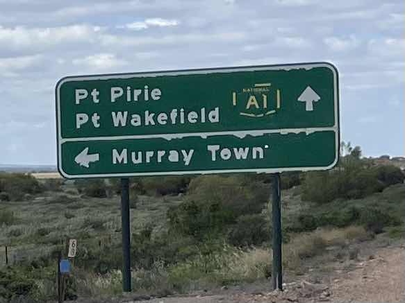
Turning off the A1 onto the Goyder Highway


Past Crystal Brook where we had been on our way out on our journey

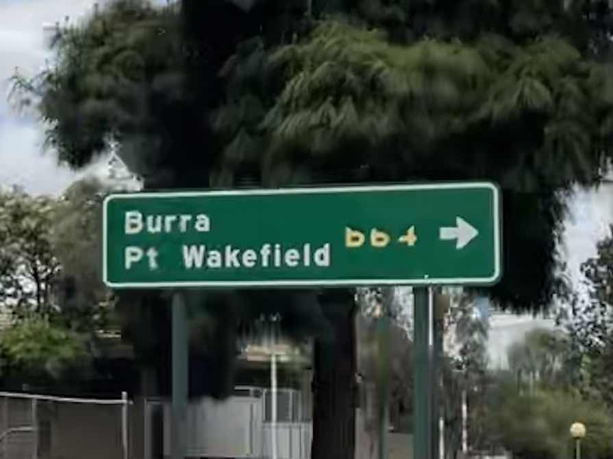 And continuing on the B64 towards Burra


Taking photos of scenery and places we pass along the way


Turning onto the Horrocks Highway for a short distance


Stopped at a rest area for a break and had a look at this memorial that the Horrocks Highway was named after

We had pulled up next to this field of wheat and with these yellow flowers around the edge that we thought may be canola


Actually looked them up on the app picture this and it appears it is not canola but is called wild rape and canola is also called rape

Continuing back on the Goyder Highway


Travelling past a huge water pipe again


Pretty drive through the hills


We had noticed a sign to Bundaleer reservoir

And as we drove over a hill we noticed this body of water which we presume is the reservoir and is where we think the pipe is coming from


Driving through rolling fields

And sheep paddocks

And Rocky outcrops
Past the turnoff to Mt Remarkable where we had been a few weeks ago
With the hills in the distance
A bit of traffic along this section where there were a few vehicles vying to overtake in the overtaking lane
Past the turnoffs to various places and attractions
With Port Pirie in the distance
And starting to see signs of where we planned to stop for our lunch
We pulled up behind this other AOR van that we had seen previously but could not remember where
Bought a yiros that we ate here having also purchased a few items such as some jams and some frozen buffalo and frozen camel
Then there was another AOR van also in the car park
Continuing on
Past other turn offs
And other interesting sites
Turning off the A1 onto the Goyder Highway
Past Crystal Brook where we had been on our way out on our journey
And continuing on the B64 towards BurraTaking photos of scenery and places we pass along the way
Turning onto the Horrocks Highway for a short distance
Stopped at a rest area for a break and had a look at this memorial that the Horrocks Highway was named after
We had pulled up next to this field of wheat and with these yellow flowers around the edge that we thought may be canola
Actually looked them up on the app picture this and it appears it is not canola but is called wild rape and canola is also called rape
Continuing back on the Goyder Highway
Travelling past a huge water pipe again
Pretty drive through the hills
We had noticed a sign to Bundaleer reservoir
And as we drove over a hill we noticed this body of water which we presume is the reservoir and is where we think the pipe is coming from
Driving through rolling fields
And sheep paddocks
And Rocky outcrops


Turning onto RM Williams Way


Passing Spalding


And back onto the Goyder Highway again


Following the pipeline again

That suddenly disappeared over the hill

More sheep in the paddocks


More pretty green hilly countryside to pass through


More wind turbines on the hills


And massive powerlines obviously to take the power generated by the wind turbines

Next turning onto the Barrier Highway towards Burra


Noticed a side track next to the road and saw on the navigator that it was called Mawson Trail which actually ended up stopping just here
 Next point of interest thanks to WikiCamps was Midnight Oil - Diesel and Dust Cover - Homestead
Good views from the roadside to get a photo of this

We eventually arrived at Burra a town that we had never heard of before and knew nothing about
We eventually arrived at Burra a town that we had never heard of before and knew nothing about

We turned into the town on the barrier highway

Past some historic old buildings


I had noticed on WikiCamps that were there was a Heritage railway station

So we headed for there to check it out

Spent quite a bit of time exploring the well kept restored station


We had heard that there also was a Coppermine in the town so we went trying to find the drive to it we came across this operating mine


But realised that there was an historic Coppermine elsewhere that we had no idea was in existence here in Burra
So we drove past the historic museum

To explore the area around the old copper mine

We spent a long time driving around and going to lookouts and walking around the mine.
To explore the area around the old copper mine
We spent a long time driving around and going to lookouts and walking around the mine.
We had no idea about the size and the effort that had been put in to the restoration and the preservation of the site.
We first of all went to the town look out took photos of information and photos of the relevant sections of the town referred to in the information


We then drove up to the mine look out where there was this information with some old photos of what the mine was like


We took photos of the mine from the mine look out


And then drove down to the entrance of the main part of the mine


It was there that we discovered that what we should have done was gone to the information centre and got a special mine pass so that would give us access to unlock the gate and drive around the mine and unlock the entrance to the engine room that had a museum inside

However we decided that we would just walk around some of the main areas
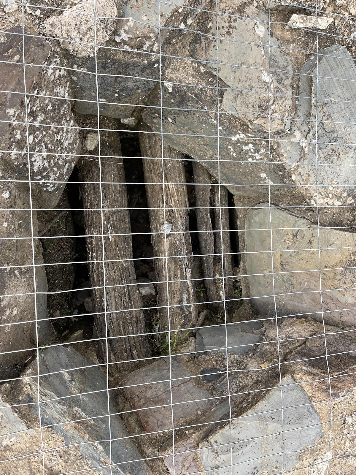
Most of the areas that I have included here are self-explanatory based on the fact that they have information boards in front of each of the areas


We managed to find some of the malachite in amongst the rocks on the park


Lots of these plants in the area around the Minesite I loved the colours of them


Found some more bits of malachite


Discovered why there was a sign along the heritage Trail of an image of a person holding a Hammer and a chisel
We then drove up to the mine look out where there was this information with some old photos of what the mine was like
We took photos of the mine from the mine look out
And then drove down to the entrance of the main part of the mine
It was there that we discovered that what we should have done was gone to the information centre and got a special mine pass so that would give us access to unlock the gate and drive around the mine and unlock the entrance to the engine room that had a museum inside
However we decided that we would just walk around some of the main areas
Most of the areas that I have included here are self-explanatory based on the fact that they have information boards in front of each of the areas
We managed to find some of the malachite in amongst the rocks on the park
Lots of these plants in the area around the Minesite I loved the colours of them
Found some more bits of malachite
Discovered why there was a sign along the heritage Trail of an image of a person holding a Hammer and a chisel
Here he was on the top of the peacocks chimney stack which was at the main entrance into the mine site

Driving back down out of the Minesite took these photos of these signs


Driving back through this area of Burra we had already decided we would need to spend the night here and so decided to head towards the Bon Accord hotel as WikiCamps had flagged that there was camping out the back


Finalised our HEMA map tracking for the day

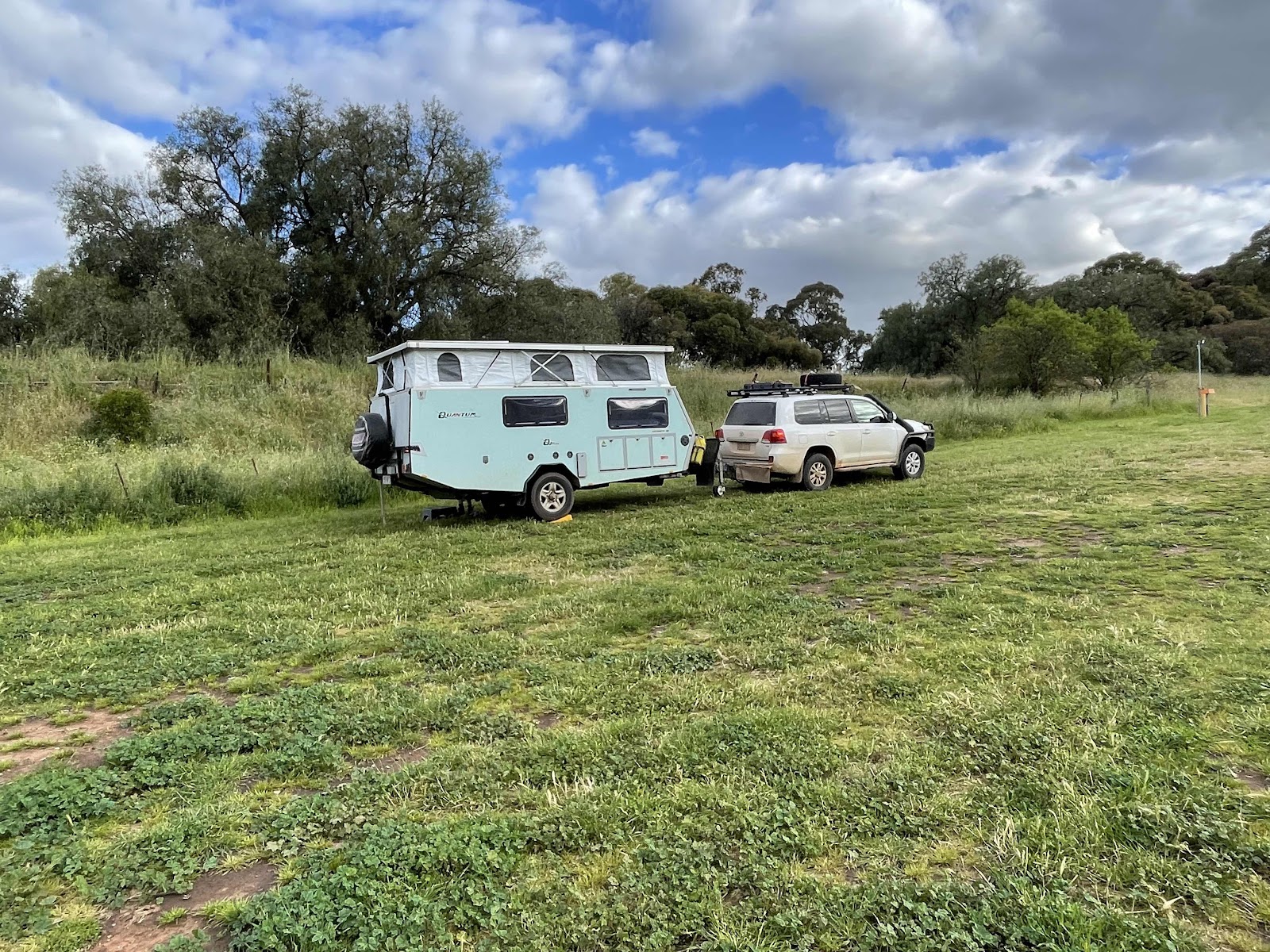
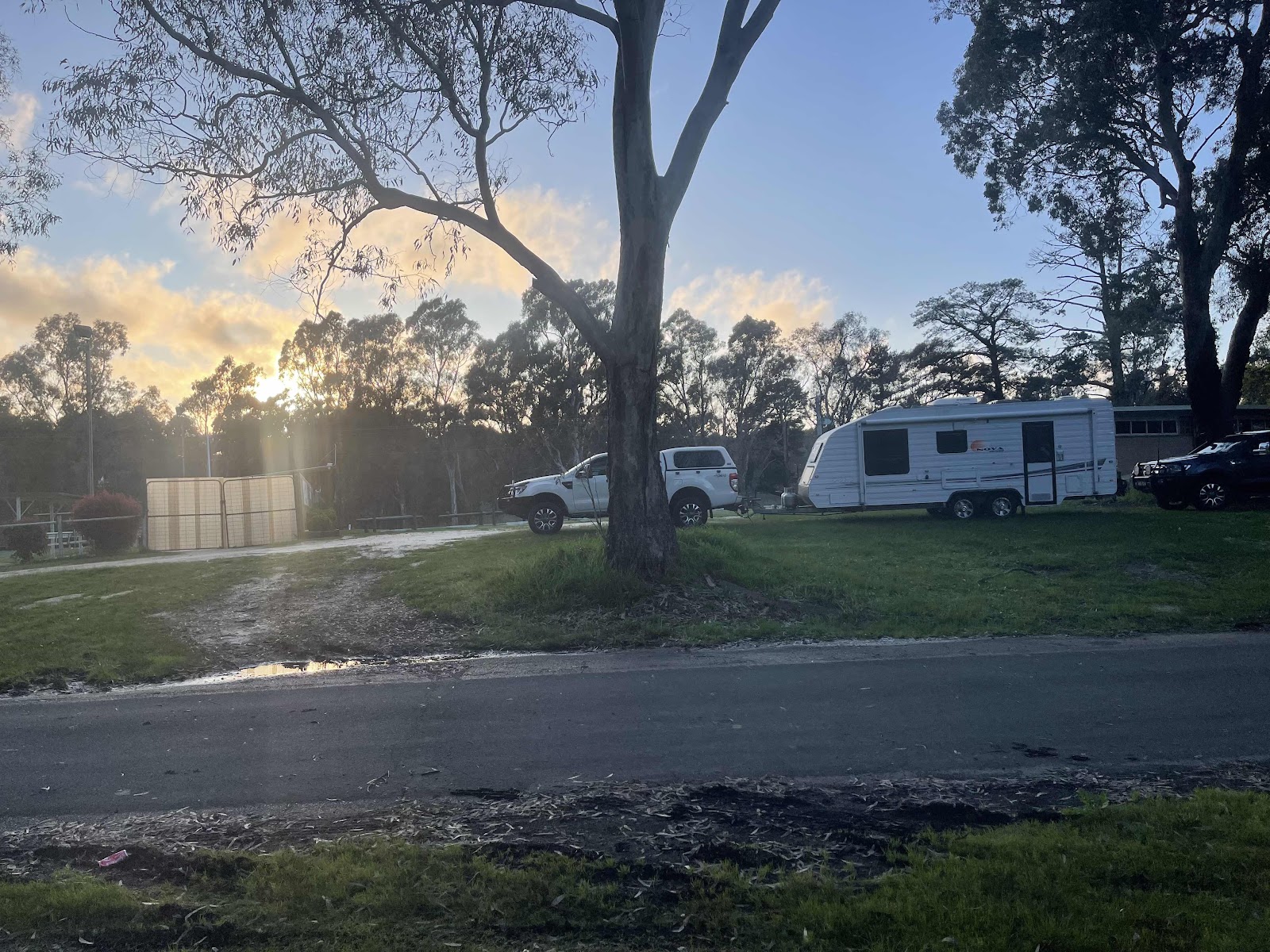
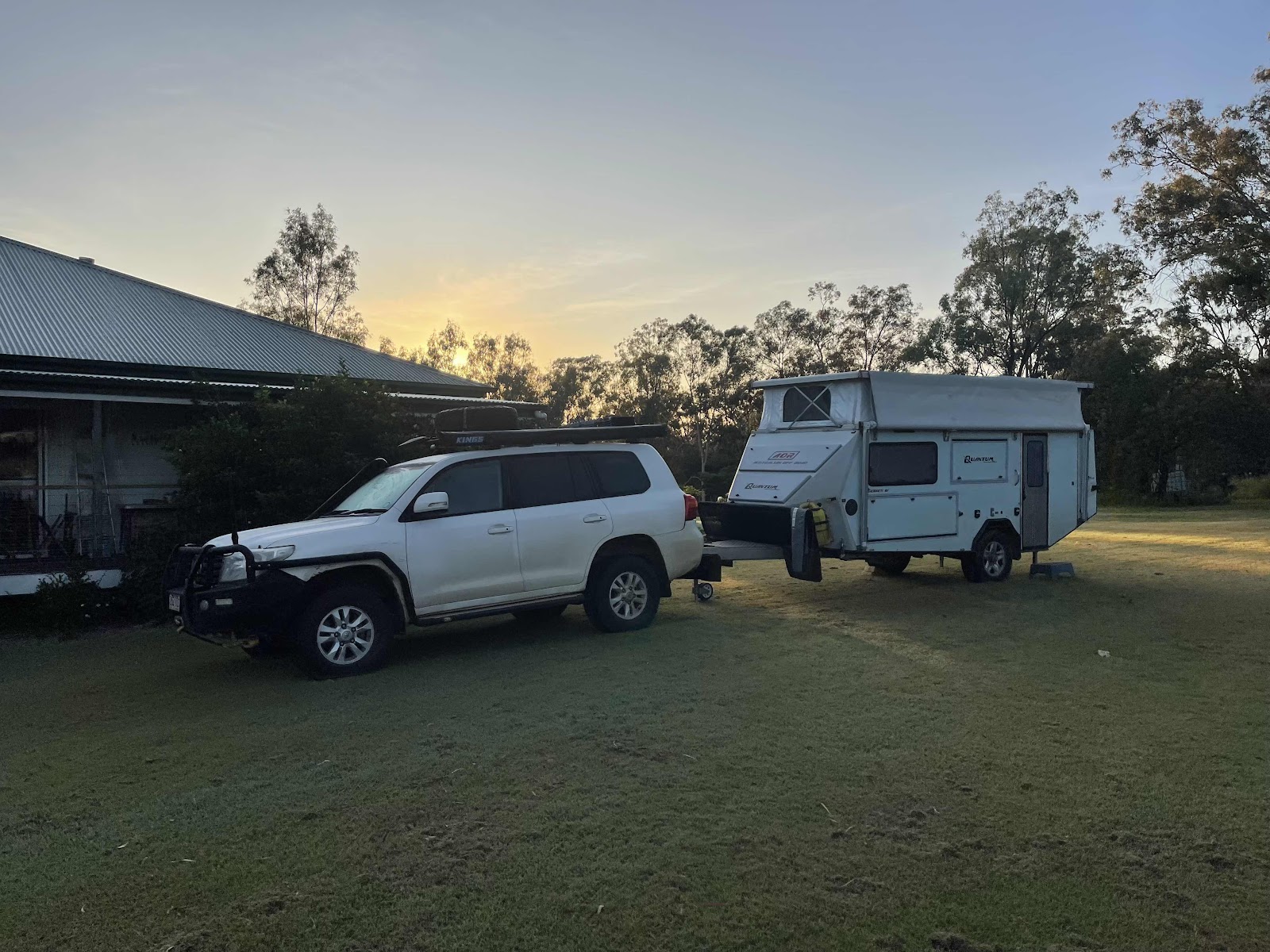
Set up camp out the back in a beautiful grassy paddock


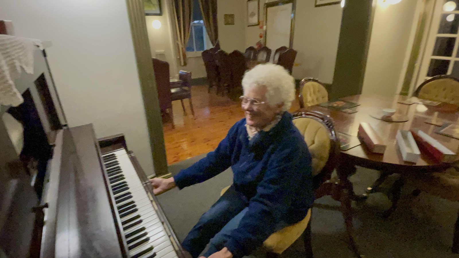
Went inside the hotel for drinks

A beautiful heritage hotel with a very elegant interior


And with a pianola in the main restaurant

Yeah of course I have to have a go would you believe playing boléro
The stool that I was sitting on was on wheels so I kept moving backwards as I was peddling so I couldn’t pretend to be playing as I had to hang on to the edge of the piano
Bill had ordered red wine to have with our meal guided by the lady behind the bar as to what wine to have.
We liked it so much that we decided to purchase some bottles.
They explained to us that this wine was part of a batch that was supposed to be being sent to China but in fact never got there because of the ban China imposed on our wine exports


Comments
Post a Comment