Day 50 Paringa to Hay
First thing we did this morning was plug in the computer and connect to both Victoria roads and New South Wales roads that showed the flooded areas we then mapped out a route home using both these resources
This is what we initially came up with - A rough itinerary typed up in word and saved into dropbox

Stopped off at the entrance to the caravan park to say goodbye to Jenni and saw the Avery
Jenni told us about all the birds in the Avery


And I took a photo of Bill with this big bird outside the Avery

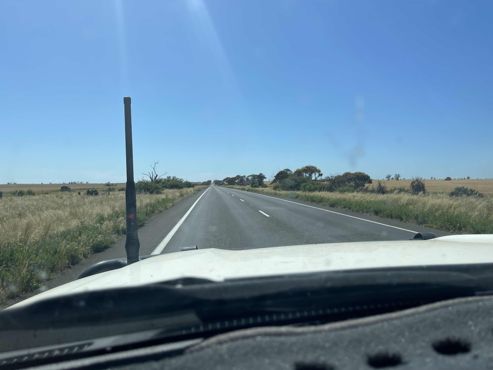
Out onto the Sturt highway heading for Mildura


Stopped off at this point of interest to get a good view of the flooded area


And took photos of these information boards


And this Basalt rock from the Stone pinch quarry nearby

On the road again and were passed by this bright shiny classic car

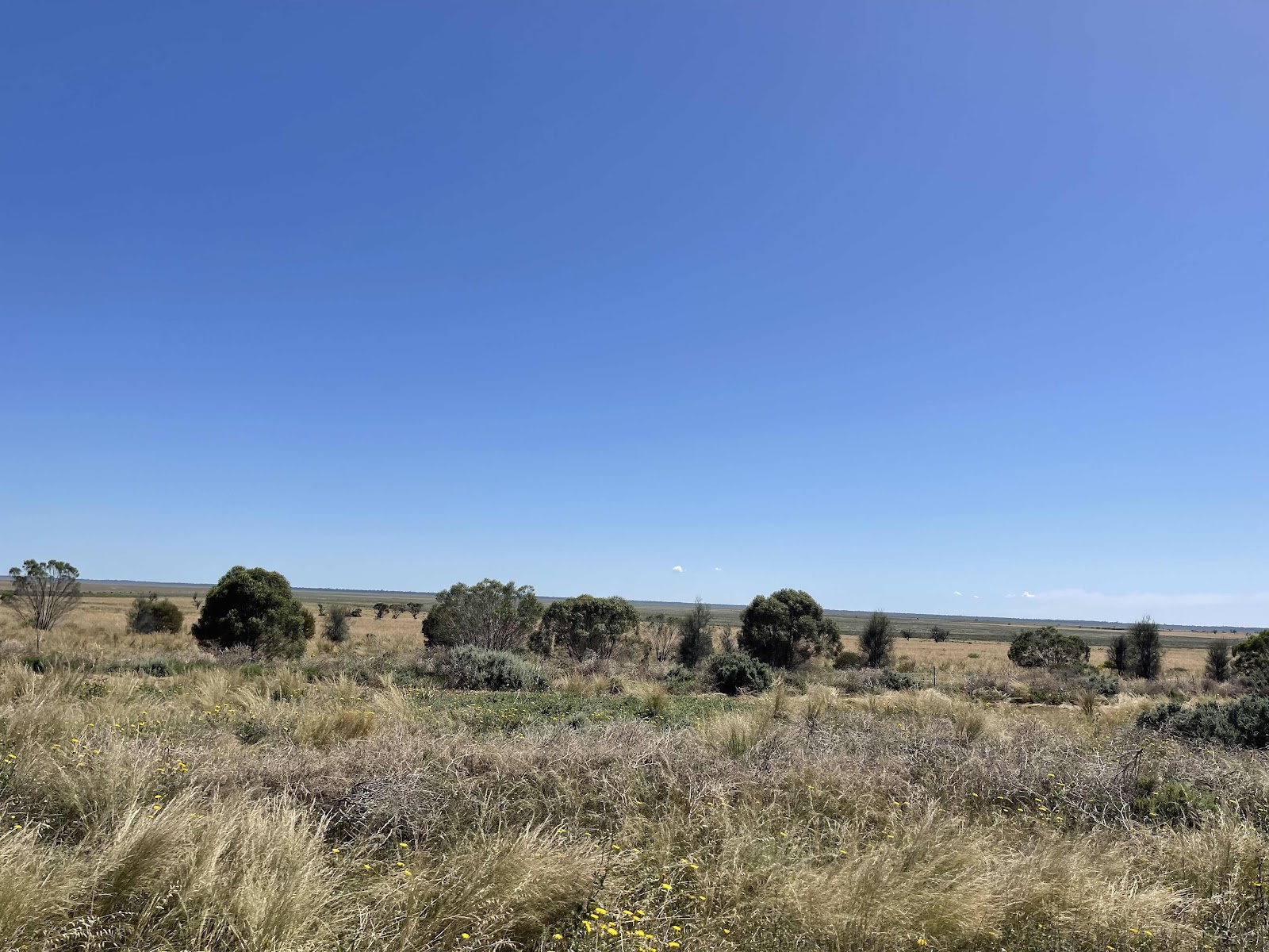
Drove past flooded plains either side of the road


Passed under the big tyre
And I took a photo of Bill with this big bird outside the Avery
Out onto the Sturt highway heading for Mildura
Stopped off at this point of interest to get a good view of the flooded area
And took photos of these information boards
And this Basalt rock from the Stone pinch quarry nearby
On the road again and were passed by this bright shiny classic car
Drove past flooded plains either side of the road
Passed under the big tyre
at the moment not sure of it’s significance

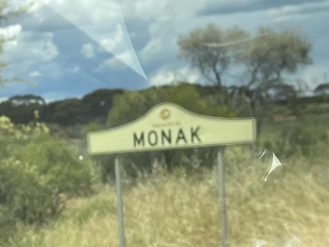
But we did very soon pass this sign signifying the end of the Murray region

Past the quarantine checkpoint on the other side of the road checking for fruit and vegetables being carried into South Australia and the River land area

Just a bit down the road we came across this sign reminding us that we were entering Victoria.
But we did very soon pass this sign signifying the end of the Murray region
Past the quarantine checkpoint on the other side of the road checking for fruit and vegetables being carried into South Australia and the River land area
Just a bit down the road we came across this sign reminding us that we were entering Victoria.
This jogged my memory to look out the map from our travels yesterday as I realised that the border fence must be right there

And it was at this point that we came across the end of the Border Fence Road where we would have come out had we continued on that road.yesterday


Travelling next into Victoria


And the Mildura region


Continuing on the Sturt highway to Mildura

Some roadworks on the way

Fascinated by the existence of this road sign along the way obviously not going to be dust storms for a wee while yet


Warnings of a quarantine area ahead


Where we pulled up and read the sign as we were unaware of this requirement and wondered why as there had been a quarantine section on the other side of the road going the other direction

By reading this sign we saw that it was for the Sunraysia region

The countryside that we travelled through here was low and flat with very few trees
Didn’t stop here kept going


More fruit orchards and grapevines in this area


Counting down the mileage to Mildura


We didn’t turn off here as we had decided not to go back through Broken Hill


Probably don’t need this so much now as there is so much water around however I guess the water that is available is untreated

We turned off at Morbein to follow the Murray River around through Mildura but discovered the water had gone right over the road and the road was closed


We stopped at one point beside the river and went down a walkway but it ended up in the water


I stopped and took some photos up the river towards the town


To see the volume of water that was in the river

We drove past some of the houseboats where people would no longer have access to as the road to the house boats was flooded


We then drove around the outskirts of the town through some of streets along the river


Heading towards lock 11

We parked on the top of the cliff where there were some art works


And then walked down some steps into a park below the cliff


To a section of the road that was clearly closed


Having walked along the the waters edge and around the park we then headed back up to the cliff top


We then noticed a cafe across the road from where we were parked that was located in the arts Centre

So we headed over there for some morning tea

Observing some of the artworks along the way


Having enjoyed some coffee and some snacks we headed back out on the highway

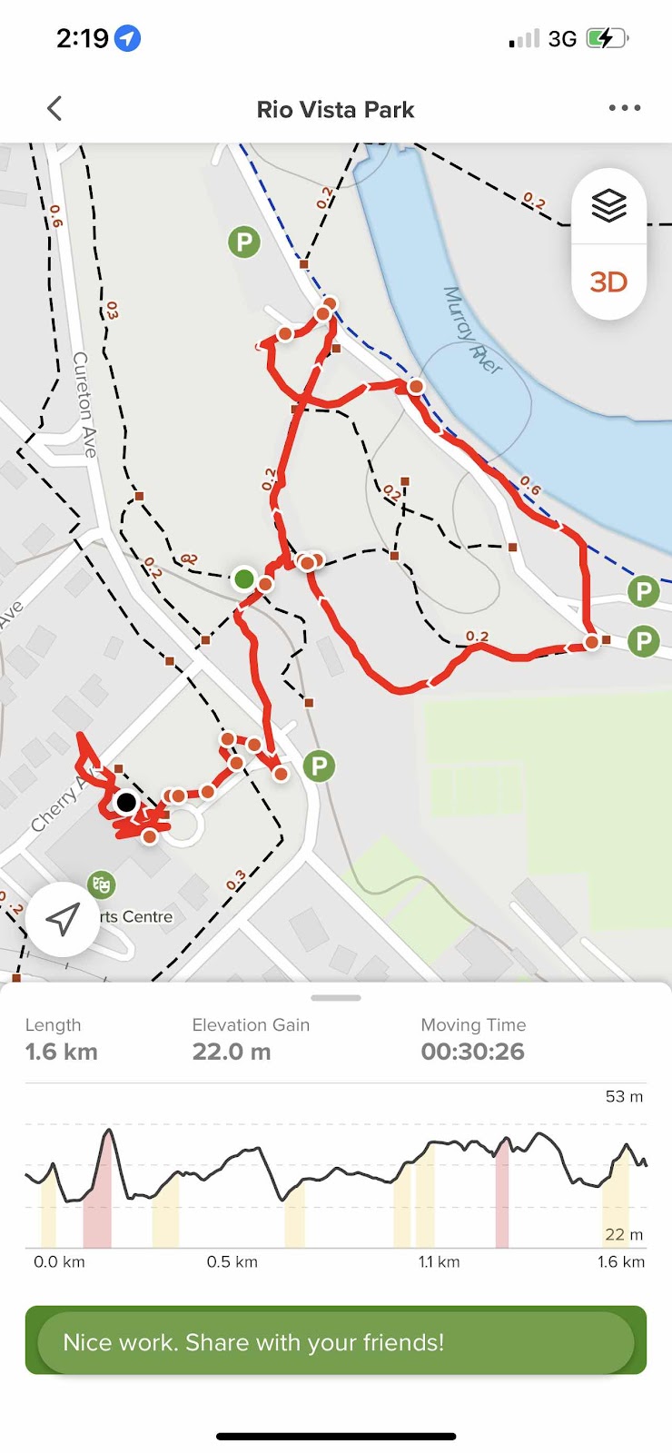
I took a record of where we walked in Mildura using AllTrails I didn’t turn it off till after we had had morning tea so it also shows us going to the art Centre

Checked out station as we drove past

And a fountain in the town

Past the wharf


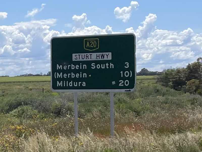
Turning off on the A 20

noticed another swing bridge with lots of houseboats along the rivers edge on our way out of Mildura


The other side of the bridge over the Murray we entered New South Wales

Passing through towns along our way


Continuing on the Sturt highway towards Balranald


We came across a small group of cyclists under escort wondering where they were going from and to and if their cycling was for a specific cause


More interesting places to stop at and see as our compulsory rest stops along the way


Constantly passing flooded areas beside the road on our route

We bypassed Robinvale


Sadly passed the turn off to Mungo National Park as we realised there was definitely no way we were going to get to it this time. My initial plan was to visit Mungo


To amuse ourselves and to make the most of rest stops along the way we used WikiCamps to highlight points of interest - this dig tree point of interest was actually on the wrong side of the road but we found it and updated Wikicamps with the information
And it was at this point that we came across the end of the Border Fence Road where we would have come out had we continued on that road.yesterday
Travelling next into Victoria
And the Mildura region
Continuing on the Sturt highway to Mildura
Some roadworks on the way
Fascinated by the existence of this road sign along the way obviously not going to be dust storms for a wee while yet
Warnings of a quarantine area ahead
Where we pulled up and read the sign as we were unaware of this requirement and wondered why as there had been a quarantine section on the other side of the road going the other direction
By reading this sign we saw that it was for the Sunraysia region
The countryside that we travelled through here was low and flat with very few trees
Didn’t stop here kept going
More fruit orchards and grapevines in this area
Counting down the mileage to Mildura
We didn’t turn off here as we had decided not to go back through Broken Hill
Probably don’t need this so much now as there is so much water around however I guess the water that is available is untreated
We turned off at Morbein to follow the Murray River around through Mildura but discovered the water had gone right over the road and the road was closed
We stopped at one point beside the river and went down a walkway but it ended up in the water
I stopped and took some photos up the river towards the town
To see the volume of water that was in the river
We drove past some of the houseboats where people would no longer have access to as the road to the house boats was flooded
We then drove around the outskirts of the town through some of streets along the river
Heading towards lock 11
We parked on the top of the cliff where there were some art works
And then walked down some steps into a park below the cliff
To a section of the road that was clearly closed
Having walked along the the waters edge and around the park we then headed back up to the cliff top
We then noticed a cafe across the road from where we were parked that was located in the arts Centre
So we headed over there for some morning tea
Observing some of the artworks along the way
Having enjoyed some coffee and some snacks we headed back out on the highway
I took a record of where we walked in Mildura using AllTrails I didn’t turn it off till after we had had morning tea so it also shows us going to the art Centre
Checked out station as we drove past
And a fountain in the town
Past the wharf
Turning off on the A 20
noticed another swing bridge with lots of houseboats along the rivers edge on our way out of Mildura
The other side of the bridge over the Murray we entered New South Wales
Passing through towns along our way
Continuing on the Sturt highway towards Balranald
We came across a small group of cyclists under escort wondering where they were going from and to and if their cycling was for a specific cause
More interesting places to stop at and see as our compulsory rest stops along the way
Constantly passing flooded areas beside the road on our route
We bypassed Robinvale
Sadly passed the turn off to Mungo National Park as we realised there was definitely no way we were going to get to it this time. My initial plan was to visit Mungo
To amuse ourselves and to make the most of rest stops along the way we used WikiCamps to highlight points of interest - this dig tree point of interest was actually on the wrong side of the road but we found it and updated Wikicamps with the information
it should be noted that Dig Tree is a lot of very interesting spades hanging off the tree


We finally found a rest area where we could pull up and sit and eat our wraps under a shelter

Didn’t stay long as there were so many flies and there was threatening rain clouds aroun mm


We pulled up to refuel at Balranald as we didn’t know where else we would be able to get fuel on our travels
We finally found a rest area where we could pull up and sit and eat our wraps under a shelter
Didn’t stay long as there were so many flies and there was threatening rain clouds aroun mm
We pulled up to refuel at Balranald as we didn’t know where else we would be able to get fuel on our travels
Interestingly as the sign said somebody came out and filled the car with fuel for us

Sites as we drove through Balranald


On to the Sturt Highway again to Hay

Over the flooded Murrumbidgee River


Still a way to go before our destination for the night


The highway was very straight with flat plains either side

There was a bit of traffic on this section of the road

With threatening clouds either side of the highway


Still a way to go to Hay

There in these uninteresting flat plains is a lone tree ahead

Sites as we drove through Balranald
On to the Sturt Highway again to Hay
Over the flooded Murrumbidgee River
Still a way to go before our destination for the night
The highway was very straight with flat plains either side
There was a bit of traffic on this section of the road
With threatening clouds either side of the highway
Still a way to go to Hay
There in these uninteresting flat plains is a lone tree ahead
This tree has even made it onto WikiCamps as a point of interest to relieve the boredom of looking at treeless plains

And the tree is in fact halfway along the road between Balranald and Hay


Next we turned off the Sturt highway onto the Cobb highway towards Hay


On arrival into Hay there were some gorgeous sculptures of emus that I took photos of but that I took better ones the next day

We crossed over the Murrumbidgee River


Drove through the Main Street of Hay


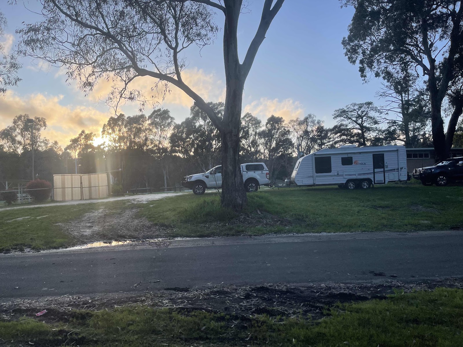
Checked out the campground in the Showgrounds first and then went to check out the campground at the services club the services club grounds looked much more inviting plus we could have dinner there which we did - a most enjoyable meal and with a drink of course

Our HEMA map record of our journey for the day
And the tree is in fact halfway along the road between Balranald and Hay
Next we turned off the Sturt highway onto the Cobb highway towards Hay
On arrival into Hay there were some gorgeous sculptures of emus that I took photos of but that I took better ones the next day
We crossed over the Murrumbidgee River
Drove through the Main Street of Hay
Checked out the campground in the Showgrounds first and then went to check out the campground at the services club the services club grounds looked much more inviting plus we could have dinner there which we did - a most enjoyable meal and with a drink of course
Our HEMA map record of our journey for the day
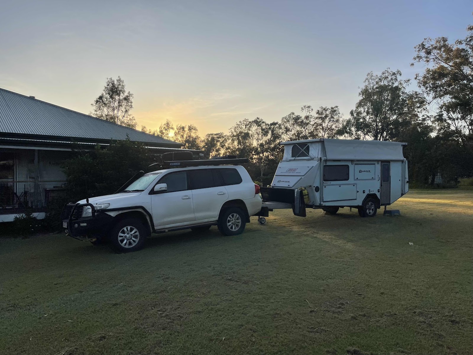
Back to our campsite for the night complete with a view of the moon


And then the beautiful coloured sky of the sunset


And then the beautiful coloured sky of the sunset

Comments
Post a Comment