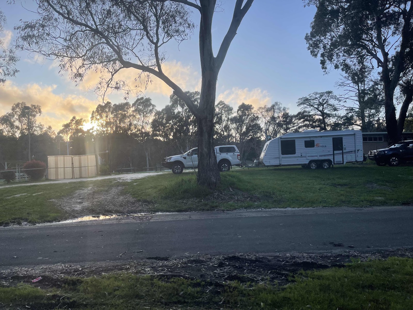
Day 51 Hay to Koorawatha
Nice clear morning early enough to see the sunrise
Because we were up so early we packed up early so that we could get on the road because we had planned our route which was taking us towards Condobolin and we wanted to get there early enough before the predicted flooding up there occurred
 Bill did his regular every morning tightening of all the wheel nuts
And we were out on the road again leaving behind campers at the Hay services club where we had camped the night


Did a bit of sight seeing in the town first of all went to the old railway station


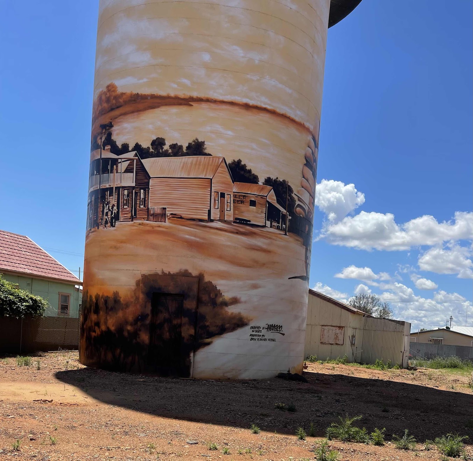
Then the painted water towers


Took this photo of the flooded river whilst looking at the towers


Spotted this water pump beside a levy

A memorial statue in the town


And interesting sculptures in front of the council buildings


I like this idea also outside the council building

Passing along side and over the Murrumbidgee River


And taking better photos of the emu sculptures that were at the entrance to the town


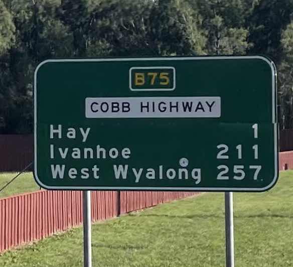
Out on the Mid Western Highway to Goolgowi but via the Cobb Highway


Following along the highway where there had been cotton transported

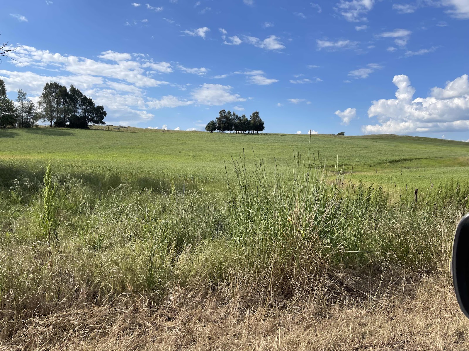
And out on to the wide open flat countryside again

Water beside the road


On both sides of the highway

large trucks coming the other direction probably because they are detouring this way due to the flooding


There hadn’t been a rest area with any toilets for quite some distance
I noticed on WikiCamps that there was supposedly toilets at Dunbar so we pulled in here


Interesting toilets
Interesting toilets
Not your typical rest area toilets

The toilets were in fact part of a community hall structure where there were these information boards


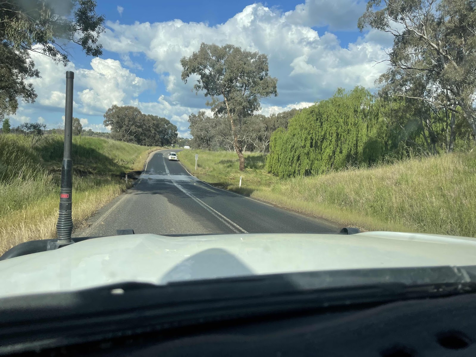
On the road again


Continuing on the mid Western Highway to Goolgowi


We had passed this long wide load but then had pulled in so it went past us again
The toilets were in fact part of a community hall structure where there were these information boards
On the road again
Continuing on the mid Western Highway to Goolgowi
We had passed this long wide load but then had pulled in so it went past us again
not sure what it was


Came across this sign in Goolgowi
Came across this sign in Goolgowi
we were planning on continuing on the B 64 west Wyalong Road to Condobolin


But then we came across this sign on the mid Western Highway stating that it was closed

So we followed this instruction that encouraged us to go via Kidman way

So we changed our plan and the direction to go via Hillston on the Kidman Way

However then we discovered this sign just along Kidman Way indicating that the way beyond Hillston was flooded and closed and that was the way we had planned to go to Condobolin


So we went back into Goolgowi and changed direction

Deciding to take the road up to Rankins Springs to get to Condobolin


At Rankins Springs we had planned our route to go via Lake Cargelligo

We didn’t know how far we needed to travel so to be sure we filled up with fuel in Rankins Springs
But then we came across this sign on the mid Western Highway stating that it was closed
So we followed this instruction that encouraged us to go via Kidman way
So we changed our plan and the direction to go via Hillston on the Kidman Way
However then we discovered this sign just along Kidman Way indicating that the way beyond Hillston was flooded and closed and that was the way we had planned to go to Condobolin
So we went back into Goolgowi and changed direction
Deciding to take the road up to Rankins Springs to get to Condobolin
At Rankins Springs we had planned our route to go via Lake Cargelligo
We didn’t know how far we needed to travel so to be sure we filled up with fuel in Rankins Springs
We met a lady here also called Linda who had shredded a couple of her tyres on the road out towards Lake Cargelligo in chatting to her we found out that she was also trying to head to Brisbane the way we were going as that is the route that she understood was open.
We took her phone number to let her know how we went on the road ahead

I walked along the road to a cafe where we purchased food to eat en route and I discovered these metal sculptures in a yard on the way.
I walked along the road to a cafe where we purchased food to eat en route and I discovered these metal sculptures in a yard on the way.
Someone’s artistic creative use of junk metal


This is where we purchased some food and drink to take with us

Before heading out on the road to Lake Cargelligo


This sign here was underrated as underneath the water was a massive pothole that Linda had driven over causing two of her tyres to be shredded.
This is where we purchased some food and drink to take with us
Before heading out on the road to Lake Cargelligo
This sign here was underrated as underneath the water was a massive pothole that Linda had driven over causing two of her tyres to be shredded.
fortunately the garage owner and Linda warned us to steer clear of that section underwater


Which we were able to do as there was nothing coming the other way
Which we were able to do as there was nothing coming the other way
we were able to drive right around it

These people just a head here in an Aqua coloured bus towing a little trailer unfortunately had also not long gone through that large waterhole and pothole and had completely shredded one of their tyres and so were on the roadside fixing it
These people just a head here in an Aqua coloured bus towing a little trailer unfortunately had also not long gone through that large waterhole and pothole and had completely shredded one of their tyres and so were on the roadside fixing it
A quick chat to them ascertained that they were also trying to find a way to Brisbane

More water across the road

This truck came towards us from the other direction so we made the assumption that the road was clear


Continuing on the road towards Condobalin via Lake Cargelligo

We passed this road Junction where there was this sign that said the road was closed to Hillston so it was very lucky we did not decide to go onto Kidman way via Hillston

So not far then we reached Lake Cargelligo without much difficult


A few road closed signs around but not the way we were planning to go


Except this one that also did not affect us at this time

Toured around Lake Cargelligo a bit, looking at these painted water towers that have been newly painted since we were here last


with views across the very full overflowing Lake


We then found and drove past the accommodation that we stayed at on our way back home from our trip down to go on the Murray River with the cycling group


So next we turned off onto the Locklin Valley Way heading for Condobolin

This sign was beside the road that we were heading along and we didn’t feel affected us because we were not a heavy vehicle so we continued on

So we were still heading towards Condobolin

Next we saw this sign where we presumed the closure was in Condobollin

The lake was pretty flooded

And it indicated that it was okay for four wheel drives

So we continued on

Through The first flooded section


Where we came through okay and quite easily

Then we saw another flooded section ahead that looked much deeper

I could see the vehicle coming through from the opposite side of the flooded area

And I watched them come through.
More water across the road
This truck came towards us from the other direction so we made the assumption that the road was clear
Continuing on the road towards Condobalin via Lake Cargelligo
We passed this road Junction where there was this sign that said the road was closed to Hillston so it was very lucky we did not decide to go onto Kidman way via Hillston
So not far then we reached Lake Cargelligo without much difficult
A few road closed signs around but not the way we were planning to go
Except this one that also did not affect us at this time
Toured around Lake Cargelligo a bit, looking at these painted water towers that have been newly painted since we were here last
with views across the very full overflowing Lake
We then found and drove past the accommodation that we stayed at on our way back home from our trip down to go on the Murray River with the cycling group
So next we turned off onto the Locklin Valley Way heading for Condobolin
This sign was beside the road that we were heading along and we didn’t feel affected us because we were not a heavy vehicle so we continued on
So we were still heading towards Condobolin
Next we saw this sign where we presumed the closure was in Condobollin
The lake was pretty flooded
And it indicated that it was okay for four wheel drives
So we continued on
Through The first flooded section
Where we came through okay and quite easily
Then we saw another flooded section ahead that looked much deeper
I could see the vehicle coming through from the opposite side of the flooded area
And I watched them come through.
they got through okay - they told us to stick to the left-hand side

So we went through


Making sure we could see the posts that depicted the side of the road


A big relief we got through okay


We continued on a little way but were unsure that we were going to get through also saw a sign that said Road closed detour via Tully but we didn’t know where Tully was.
So we went through
Making sure we could see the posts that depicted the side of the road
A big relief we got through okay
We continued on a little way but were unsure that we were going to get through also saw a sign that said Road closed detour via Tully but we didn’t know where Tully was.
We couldn’t find a Tully anywhere in this region on Google Maps or on the Hima maps to find where we were heading.
fortunately somebody came by and we waved them down they were a local and they knew the roads, they explained to us what Tully was and where Tully was and told us where the turn off was to go the alternative route back onto the Wyalong way to get around, as we were obviously not going to get to Condobolin


So we continued on the road very relieved that we did not have to turn around and go back through those flooded waters


Looking for a specific turn off to the right that would join with the Wyalong way.
So we continued on the road very relieved that we did not have to turn around and go back through those flooded waters
Looking for a specific turn off to the right that would join with the Wyalong way.
It was not this road but the next turn off

This is where we finally found out what Tully was, that it is short for Tullibigeal and that is what the locals refer to it as. Not much help for non locals!!
This is where we finally found out what Tully was, that it is short for Tullibigeal and that is what the locals refer to it as. Not much help for non locals!!
This was where we turned

and this is where we discovered the Road closed signs and the detour signs so lucky that we were able to turn off here


This was a good road


And this is where it joined the Wyalong way
and this is where we discovered the Road closed signs and the detour signs so lucky that we were able to turn off here
This was a good road
And this is where it joined the Wyalong way
And it meant we were heading towards West Wyalong which we were originally diverted from.
So we had wasted quite a long while and a lot of fuel going along detour roads that we need not have done

Road into West Wyalong uneventful


Except for shocking road condition, pot holes and water over the road

There were some landmarks along the way to look at


We eventually reached West Wyalong where there was no issues driving through the town


Ducks loving the flooded roads

After calling in to the information centre in West Wyalong and being helped by the staff there with information about our future journey we continued on to Temora along the goldfields way

Observing some of the roads that were closed


Road through to Greenfell was closed so pleased we did not try to go that way


Threatening clouds

A bit of traffic on this road now

Observed this big lake on the left


And a flying field
 And finally reaching the next town on our altered route
It was here that we suddenly spotted the Aqua bus that we had passed way back at Rankins Springs where they were fixing their tyre
we were wondering which way they had gone and where they were heading but they didn’t stop for us to talk to them


Drove through the town and finally found the turn off to Young - our next destination


Roads in a pretty bad way

Took photos of towns and sights we saw along the way


There were certainly a lot of potholes on this road that Bill had to keep trying to avoid
Drove through the town and finally found the turn off to Young - our next destination
Roads in a pretty bad way
Took photos of towns and sights we saw along the way
There were certainly a lot of potholes on this road that Bill had to keep trying to avoid

More photos of the countryside, bad roads, traffic, trucks….


We had started to think about where we might spend the night and how far we could get before it got too late so I found this place on WikiCamps and rang to see if it was okay to stay there

We did still have quite a way to go before reaching Koorawatha where they said it was fine to stay there


Passed through Young


Turning on to the Olympic Highway towards Cowra


Since we discovered that Young is a cherry town we wondered if these bushes that we passed were actually cherry bushes


Only 41K to go now

Through pretty undulating country and we were actually quite high up and the temperature was quite cool

I decided to take a screen dump of the image from my phone of the Live roads New South Wales website that we had been wrestling with trying to work out where there was any problem on any of the roads
Passed through Young
Turning on to the Olympic Highway towards Cowra
Since we discovered that Young is a cherry town we wondered if these bushes that we passed were actually cherry bushes
Only 41K to go now
Through pretty undulating country and we were actually quite high up and the temperature was quite cool
I decided to take a screen dump of the image from my phone of the Live roads New South Wales website that we had been wrestling with trying to work out where there was any problem on any of the roads
it was a nightmare trying to work it out on the iPhone!!
Lots of potholes on the roads tools

The large blue dot shows where we were.
Lots of potholes on the roads tools
The large blue dot shows where we were.
But there were so many blue dots and to get the information about the blue dot you had to click on it and then lost the place on the map where you were trying to follow the road - not ideal

There were lots of trucks on this road, most likely because it was actually the only way they could get through carrying their loads.
There were lots of trucks on this road, most likely because it was actually the only way they could get through carrying their loads.
This would have contributed to the poor state of the roads

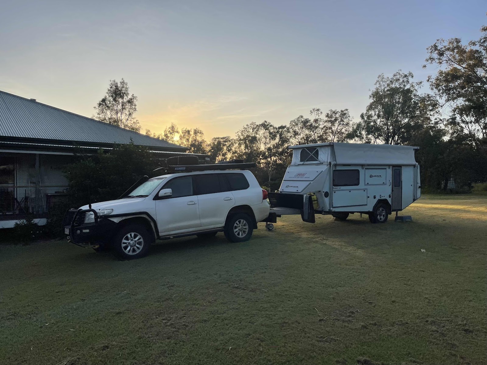
We eventually arrived at the pub that we had planned to camp at


So parked in the side street to go inside to find out where we could go to camp


As we were parking we found that the front numberplate had got bent again during our travels. Luckily we didn’t lose it

We were the only ones wanting to camp beside the pub so had this beautifully lush green grass paddock all to ourselves

After lifting the top of the van and opening the windows to air we went inside to have drinks and dinner
We eventually arrived at the pub that we had planned to camp at
So parked in the side street to go inside to find out where we could go to camp
As we were parking we found that the front numberplate had got bent again during our travels. Luckily we didn’t lose it
We were the only ones wanting to camp beside the pub so had this beautifully lush green grass paddock all to ourselves
After lifting the top of the van and opening the windows to air we went inside to have drinks and dinner
The pub had fairly recently been renovated - this is the ladies toilet

And this is the lounge room that also had a pianola


Spent awhile at the bar chatting to owners Heidi and Jamie a lovely friendly welcoming young couple.
And this is the lounge room that also had a pianola
Spent awhile at the bar chatting to owners Heidi and Jamie a lovely friendly welcoming young couple.
Hence had a most enjoyable evening

Went out the back in the gardens to eat our delicious lamb chops, apparently very special ones from Cowra

This HEMA map tracking image shows how much out of the way we went when we didn’t really need to

This evening we were rewarded with a magnificent sunset

A view of the full moon early in the evening

And then a few of the blood moon later in the evening


A coolish night tonight, and so lucky that it was a clear night to get a good view of the moon
It cooled down quite a bit after the past couple of days where the temperature had risen

Comments
Post a Comment